JUNE 18, 2018 — I would never recommend trying to use a packraft to paddle New Zealand’s Marlborough Sounds to anyone, I’m thinking, as I paddle furiously but futilely across Blackwood Bay, facing a brutal 20-knot (37-kilometers per hour) headwind. This may be the worst adventure idea I’ve ever had.
For the past six months, I had been dreaming of tackling an authentic adventure by myself — one that would test me both physically and mentally and allow me to make use of my backpacking and paddling experience. After some brainstorming and extensive research, I decided that a two-month, self-powered trip across New Zealand’s South Island would be an excellent choice for my walkabout, due to the island’s natural beauty, difficult terrain, and extensive network of lakes and rivers.
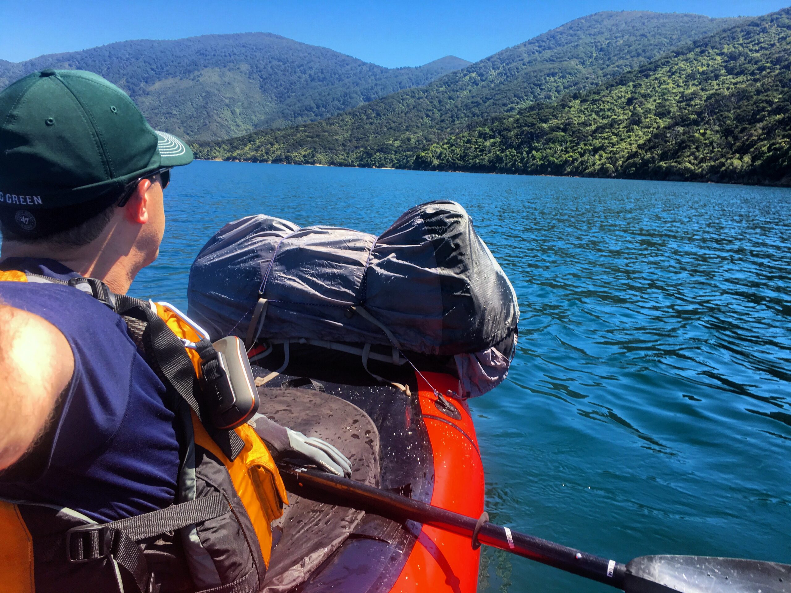
A paddler admires Queen Charlotte Sound, New Zealand from a packraft.
A newly-built, Appalachian Trail-like, 3,000-kilometer backpacking trail called the Te Araroa spans the length of New Zealand, and I started planning my trip using the trail as the backbone of my route, then modifying the path as necessary to allow me to explore more remote areas and follow natural waterways with my packraft, a small inflatable boat designed to fit into a backpack. Southbound Te Araroa hikers on the South Island begin at a small harbor in the far northeast called Ship Cove, which seemed like an obvious place for me to begin my cross-island traverse. But, when I looked at the intricate map of the Marlborough Sounds, I realized that I’d much rather paddle the Sounds than hike them, giving myself the freedom to explore the bays.
So, after flying for 21 hours from Los Angeles to Christchurch (the South Island’s largest city), driving four hours to Picton (the Marlborough Sounds’ primary port), and taking a 90-minute water taxi to Ship Cove, I pulled a packraft out of my backpack, inflated it, and jumped into the water.
My first day on the Queen Charlotte Sound unfolded just as I imagined it might when I was poring over New Zealand topo maps in my Los Angeles apartment. The sea was calm, and though my arms quickly barbecued and my almond-white-chocolate snack mix melted into a messy goo under New Zealand’s relentless sun — the ozone layer over the country is particularly thin — I had little problem paddling close to six kilometers per hour through Endeavour Inlet. Occasionally, I stopped paddling completely to relax, gazing out over the unfathomably aqua water, watching grey-blue spotted shags (birds) walk along rocks with their funny orange feet, and taking covert photographs of lazy, brown seals napping on rocky, rugged shorelines. In the early evening, I paddled into a primitive campsite in Ratimera Bay, where a middle-aged New Zealander and his wife appeared immediately from their tent to look at my raft.
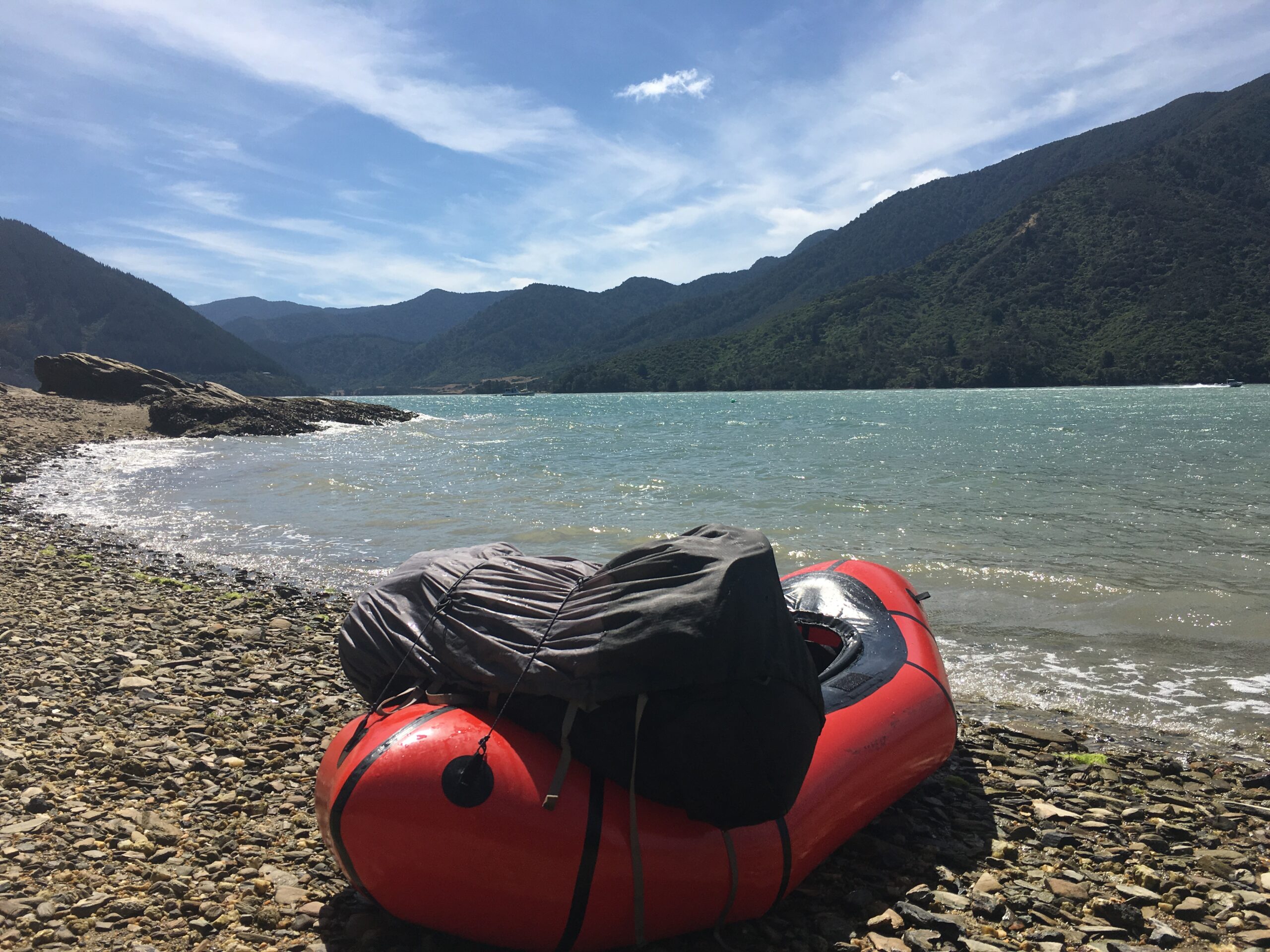
A packraft sits on a shoreline in Mahau Sound, New Zealand.
“Are you sure that thing is seaworthy?” the man asked. And, then, without waiting for an answer, he offered, “Have you seen those big brown birds? The weka? Watch out for them — they’ll steal anything.”
He was right. After falling asleep in my tent, I awoke at 3 AM to the sound of someone rummaging through my gear, only to catch a glimpse of a weka bird running off with a plastic bag. In the dark, I tried to chase the bird, but it ran into the dense forest, where I quickly tripped on a fallen log, allowing the bird to escape. Upon returning to my tent, I discovered that my half-eaten bag of precious white chocolate goo had been stolen.
Now, only five hours later, as I paddle frantically against a 20-knot headwind with a GoPro camera strapped to my head, I’m learning why a packraft is not always a great substitute for long, streamlined sea kayaks. On top of the front of my raft, I’ve tied my large backpack, which, on the ocean, acts like a bulky, immobile sail. While having a “sail” on the raft can sometimes prove useful in tailwinds, paddling forward with a strong headwind is nearly impossible. Even though I’m paddling hard, I’m being pushed backward by the strong wind. When I lean back to recover for a few minutes, the GoPro falls off my head, and, before I have time to react, it immediately sinks to the bottom of the deep ocean. My frustration turns into fear when I start wondering if the wind is going to push me out to sea, making any place that I could camp for the night inaccessible.
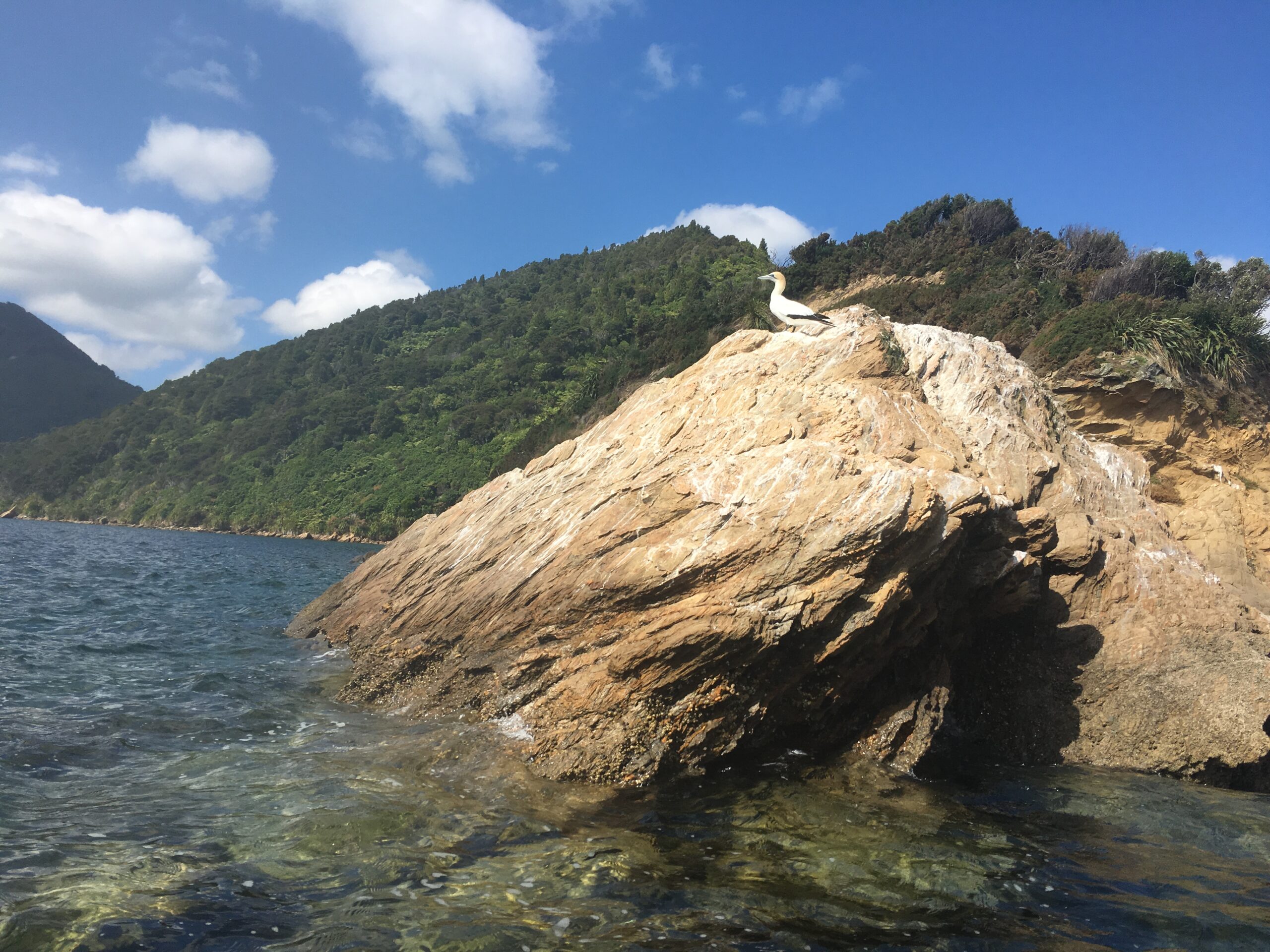
A spotted shag (bird) sits on a rock in Queen Charlotte Sound, New Zealand.
Stay calm, I think. There’s no way I’m going to make it to Mistletoe Bay tonight, but maybe I can camp on a nearby beach until the wind dies down. I look at the maps on my GPS device and notice a possible campsite that’s not too far away. There, I realize, I could wait out the windy conditions until the next day. Then, while my spray skirt is detached, without warning, a large wave tumbles over my boat and partially fills it with water. I notice that my “dry bag,” which contains warm clothes and my headlamp, hasn’t lived up to its name and is also now filled with water.
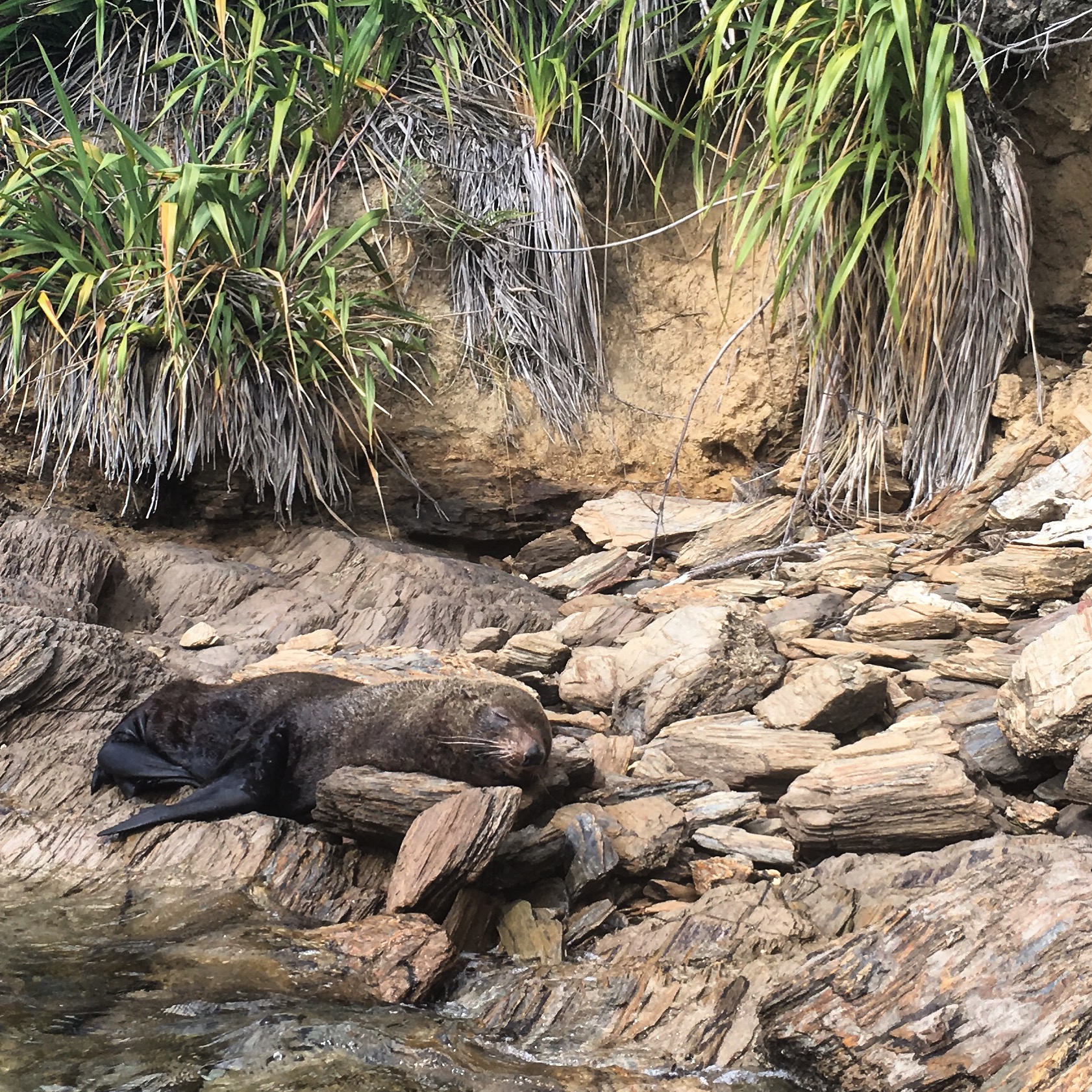
A seal sleeps on the shore in Queen Charlotte Sound, New Zealand.
Despite the strong wind, I manage eventually to get to the bay with my new campsite choice in the early evening, having completed only half of my planned distance for the day. As I slowly muscle my way into the bay, I pass an anchored sailboat with a man standing on the bow.
“How you goin’, mate?! That’s quite a craft you have,” he yells. “Once you’re all set up, why don’t ya come aboard for a drink?”
So, after doing my best to secure my belongings tightly in my pack to foil the weka birds, I paddle out to the sailboat where I meet Steve, a fireman, and his wife Kim, a special education teacher, both of whom live in Wellington on New Zealand’s North Island. Steve gives me a beer and a big bowl of chili, and Kim asks me why I’m out paddling the Marlborough Sounds by myself.
“My brother doesn’t have enough vacation time to do a trip this big, and my girlfriend and I broke up last year,” I say. “She wouldn’t have been into this anyway.”
“Well, look for someone with a good heart,” Kim suggests, glancing at her husband. “That’s what you need.”
As I get ready to go to sleep later, I’m disappointed to discover that my headlamp no longer works, having been destroyed by ocean water. Thankfully, the sea is much calmer when I wake early the next morning, and my paddle to Mistletoe Bay is straightforward. When I arrive and set up camp, I chase off a couple weka birds, vigilantly protecting my gear and supplies, though I manage to pour boiling water all over my knee while making dinner. It’s hard to stay disciplined and do everything right when you’re constantly exhausted and living out of a bag.
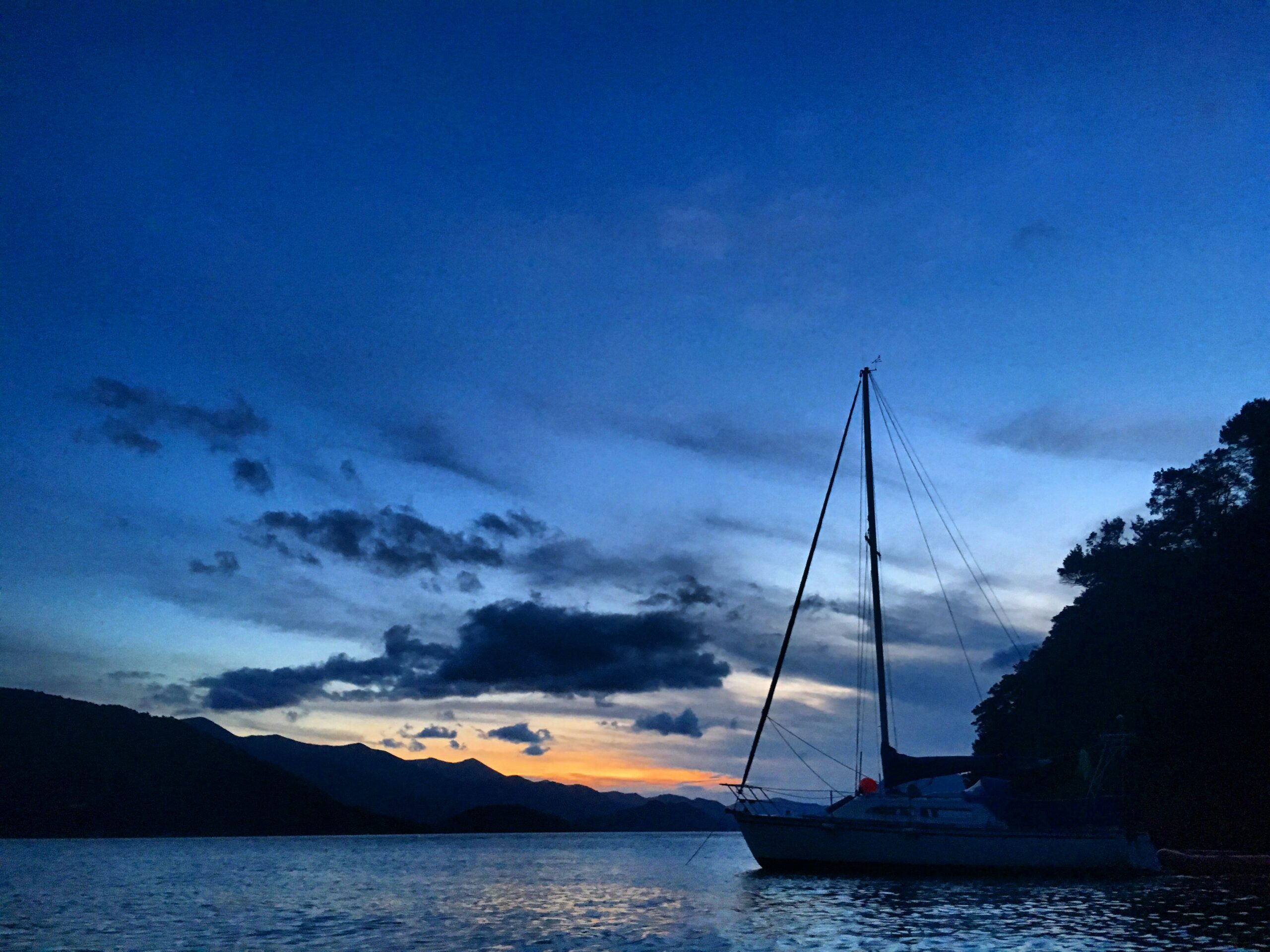
The sun sets over Kumutoto Bay in Queen Charlotte Sound, New Zealand.
Yet, in the morning, despite the planning and execution mistakes of the trip so far, I remember why I’ve chosen to carry a packraft during this adventure. Because the Queen Charlotte Sound doesn’t reach Havelock, my target town for the end of this stage of my trip, I deflate my raft, attach it my backpack, and hike over the hills separating Queen Charlotte from Mahau Sound. When I reach the sea again on the north side, I pull my packraft back out of my pack, inflate it, and get ready to start paddling again. It’s a simple trick, but a magical one nonetheless.
Mahau Sound is one of the most beautiful places I’ve paddled in my life: the water looks like oxidized copper, the lush hills look covered in emeralds, and the wind is nearly still. My paddle is mostly a serenity exercise until, about 5 kilometers away from Havelock, a strong wind begins again. This time, though, it’s a tailwind. On the way into Havelock, I use my paddle only as a rudder while the wind pushes me toward the town. I’m only 500 meters from Havelock’s shore, when I see that I must execute a 90-degree turn and then paddle perpendicular to the wind.
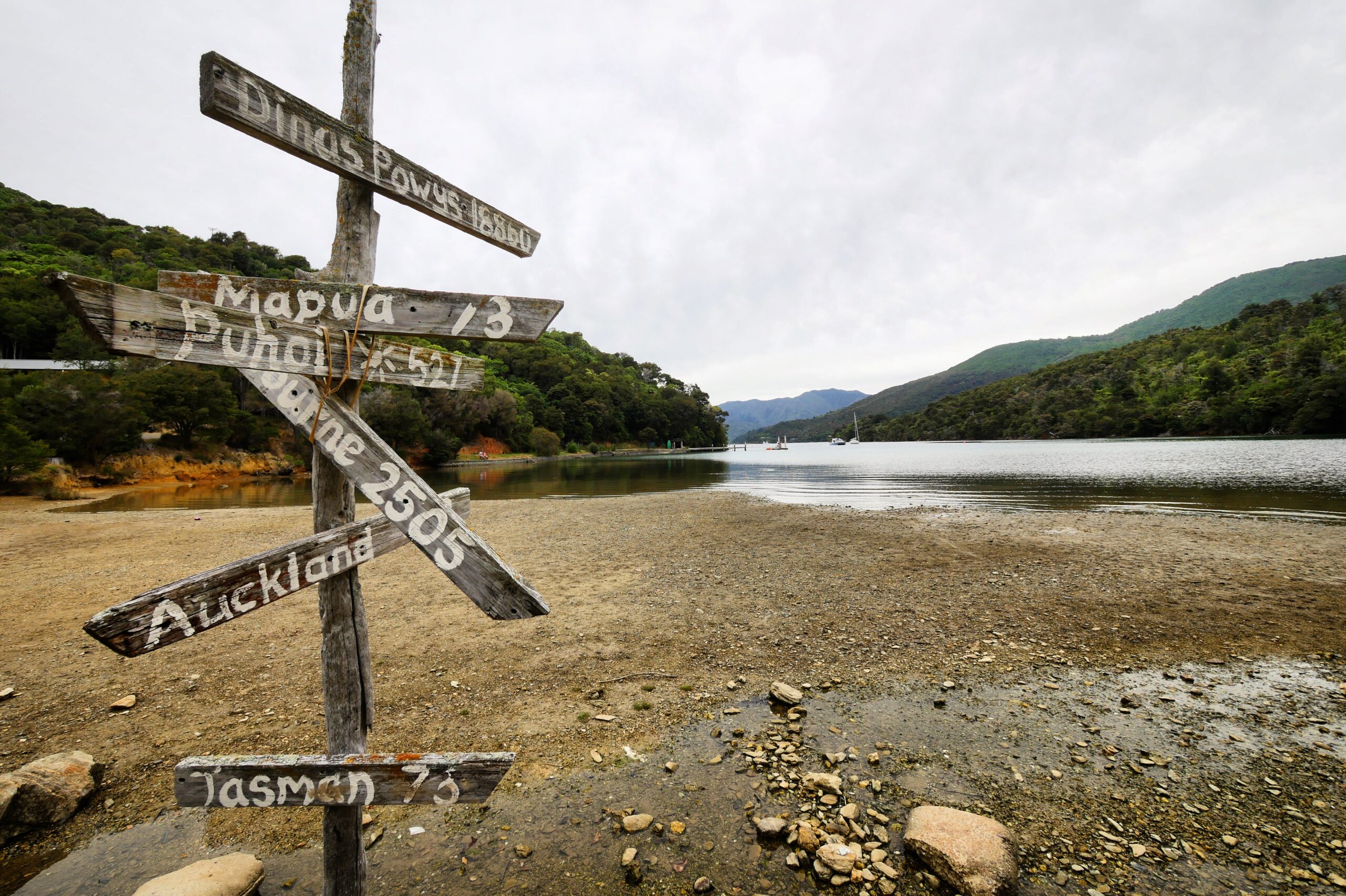
An unhelpful sign directs hikers in Mistletoe Bay, New Zealand.
The wind is so strong, though, that, as soon as I make the turn, the wind takes hold of my boat and pushes me sideways, marooning me on a long sand bar just 300 meters from the shore. I try to paddle off the sandbar, but the wind has pinned me on the beach.
Fine, I think, petulantly. I’ll just sit here until the wind dies down. But, after sitting for 20 minutes, embarrassed about how I must look — an incompetent idiot sitting on a raft marooned on a sandbar just minutes away from shore — it becomes clear that the wind has no plans to stop any time soon. I decide to get out of the raft, put the backpack on my back, and carry the raft to the end of the sandbar near Havelock’s shore. Then, I’ll be able to finish paddling the tiny 100 meter gap between the sandbar and the beach.
So, I detach my backpack from the raft. The moment I do so, the wind immediately blows the packraft — which weighs almost nothing without a heavy backpack attached — across the sandbar and toward the ocean. For a second, I watch helplessly as my raft flies through the air toward the sea.
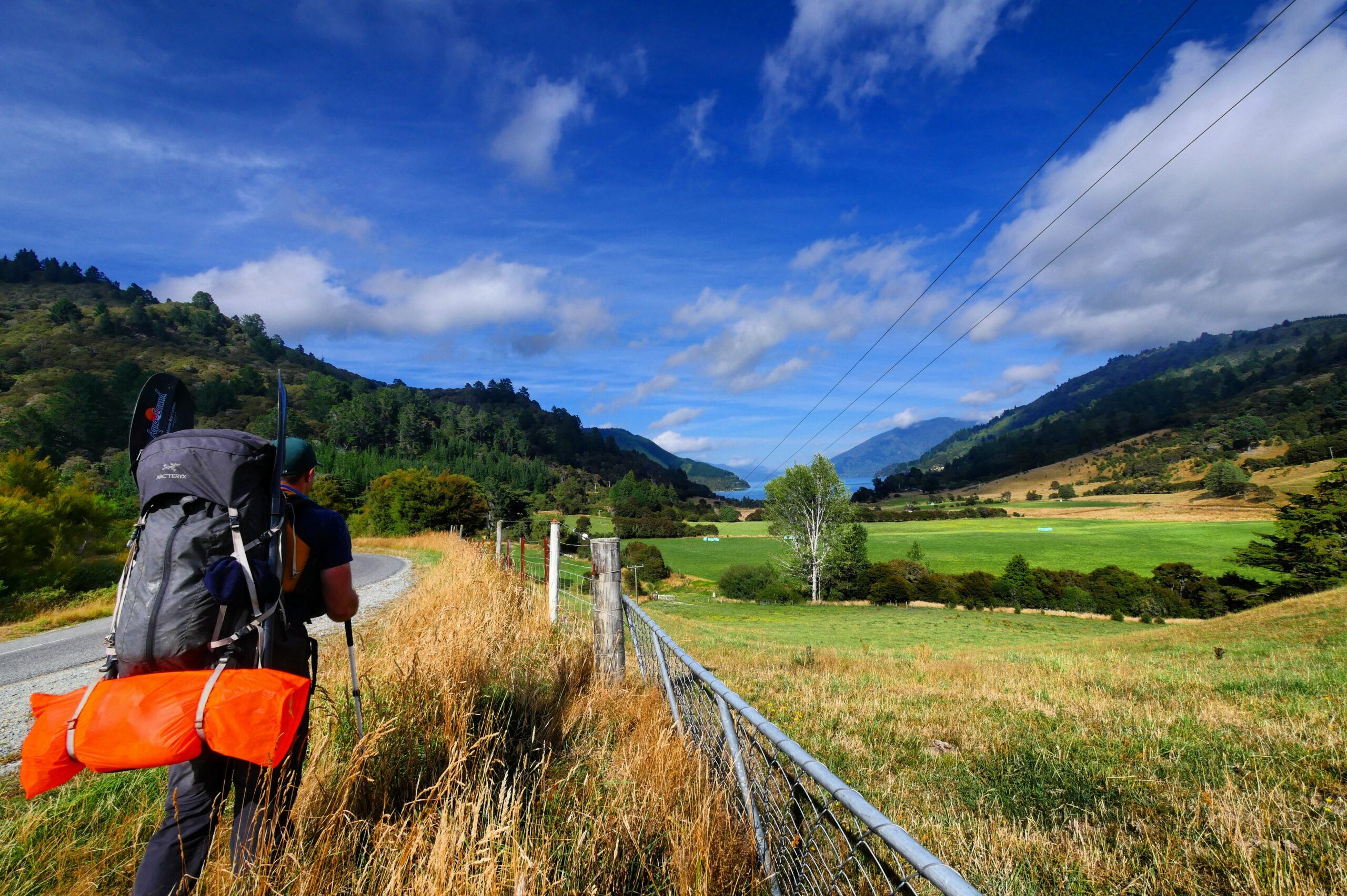
A hiker backpacks with a packraft from Queen Charlotte Sound to Mahau Sound.
This may very well be the most embarrassing moment of my life, I think. I’m never going to tell anyone about this, ever.
Once the packraft hits the ocean, there will be no chance of me being able to retrieve it, because the wind is blowing it away much faster than I can swim. I have one chance to avoid losing the raft. I drop my backpack on the sand and begin sprinting across the sandbar as fast as I can, yelling as I do. I feel like a one-man slapstick adventure comedy, but I manage to grab the raft just a split-second before it blows off the sandbar and into the ocean.
After catching my breath, I reattach my backpack to the boat to weigh it down, adrenaline rushing through my body. When I’ve calmed, I jump back into the boat and paddle the final distance to Havelock, relieved when I finally feel the sand under my feet.
I’ve lost a bag of snack mix to a bird thief, sunk a GoPro, drowned a headlamp, boiled my knee, and almost lost a packraft to the ocean. Nevertheless, I’ve finished the first stage of my New Zealand adventure in four days. It’s true: I wouldn’t recommend packrafting the Marlborough Sounds to just anyone (try renting a sea kayak) — but I’d also recommend ignoring my advice to anyone searching for a fantastic adventure.
Next, I’m heading out to spend nine days hiking what many consider to be the single most difficult section of trail in all of New Zealand: the Richmond Alpine Track, through the imposing Richmond Range.
Surviving thru-hiking boot camp in New Zealand’s Richmond Range
Backpacking the Richmond Alpine Track, one of the most difficult stretches of on-trail hiking in New Zealand.
MARCH 14, 2016 — Upon my arrival in Havelock after four days paddling the Marlborough Sounds in my packraft, I rush to The Mussel Pot restaurant, where I eat enough garlic bread and locally-caught mussels for three people, trying to make up for the calorie deficit incurred during my four days of ocean paddling. Afterward, while watching Futurama reruns in the common room of the town’s backpackers’ hostel, I meet a lively, 27-year-old, Danish occupational therapist named Sarah. Her three-week vacation is coming to a close, and she suggests that we spend her last day in New Zealand together, hiking and swimming. Though my body wants only to take a rest day to lie in bed, it seems foolish to turn her offer down. The two of us head out the next day on a short hike, and we spend the afternoon swimming and snacking on the rocky shore of the picturesque Pelorus River. In the evening, we walk to a sparkling glow worm grotto on a mountain high above the town, where Sarah tells me about her favorite adventures traveling around New Zealand and the world, and I recount the most embarrassing stories of my packrafting trip.
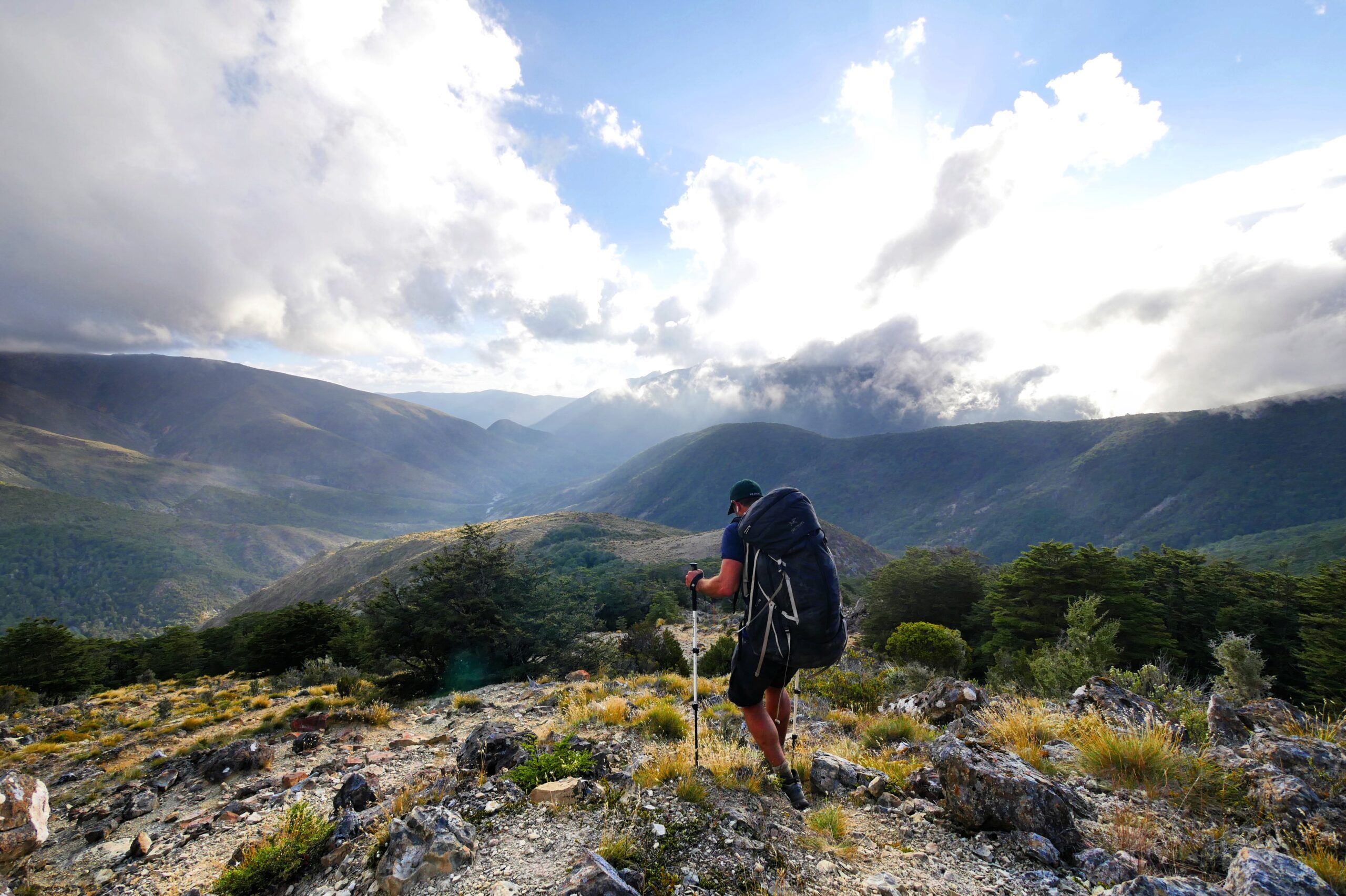
A hiker looks out from a ridge above Slaty Hut in New Zealand’s Richmond Range.
In the morning, I begin my first proper day thru-hiking New Zealand’s 3,000-kilometer country-spanning trail, the Te Araroa. The trail from Havelock follows a dirt road through flat farmer’s fields, and maintaining a 5-kilometers-per-hour pace is no problem. The Te Araroa sections of this trip will be easy, I think. On the road, I meet two 25-year-olds, river-raft-guide Sam (who is enamored by my packraft) and camp-counselor Malcolm, both from the American South. I like the pair immediately, partly because I love hiking games, and they tell me about a trail game they play frequently called, “What are the Odds?” in which a challenger sets a dare by saying something like, “What are the odds that you’ll strip off all of your clothes right now and climb up that tree?” (When the challenged sets the odds — e.g. “1 in 6” — both players then pick a random number between 1 and 6, and if the numbers match, the challenged must complete the dare. But, if the challenged decides to set the odds at “1 in 2,” the challenger must do the dare if the numbers do not match.)
A sign directs Te Araroa hikers near Havelock, New Zealand.
Though Sam and Malcolm speed past me within an hour — they’re super fit, having completed 1,800 kilometers on the North Island already — they remind me of how much I love the backpacker community; the kind of people willing to hike thousands of kilometers across a country also tend to be open, honest, humble, and fun-loving. A day later, when I reach the edge of the Mount Richmond Forest Park and the start of the Pelorus River Track, I’m surprised by and dismissive of a sign estimating that hikers will need four hours to reach Captain Creek Hut, which is only eight kilometers away. But, the trail is often riddled with tree roots and traverses unstable ground, occasionally collapsing when I take steps. The sign’s estimate is correct, and I don’t arrive at the hut until 10:30 PM, after hiking for an hour and a half in the dark with only an iPhone flashlight to guide me. (I destroyed my headlamp on the first day of the trip while packrafting the Marlborough Sounds.)
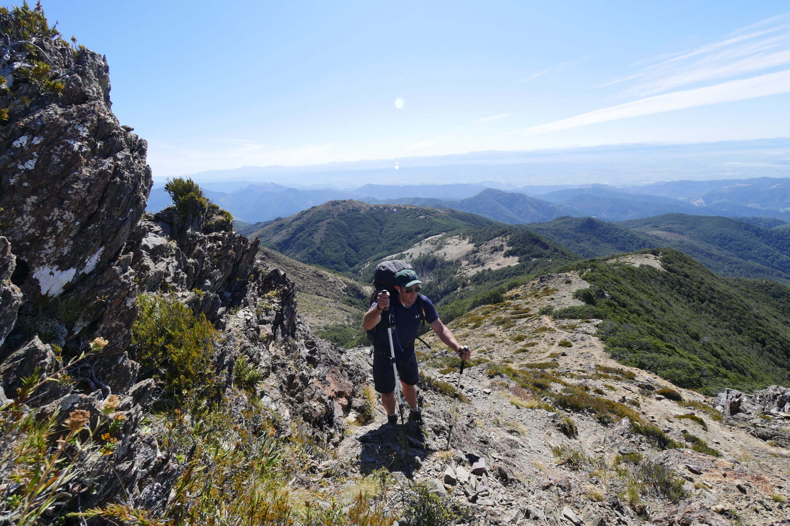
A hiker climbs toward Little Rintoul in New Zealand’s Richmond Range.
“Who are you?!” asks a voice from the dark with a female German accent, as I set up my tent.
“I’m Hank,” I respond into the darkness. “Wow, that was a tough trail getting here.”
“Ah, a new TA hiker,” she says, chuckling. She turns on her headlamp and reveals herself, a 32-year-old German woman with very short blond hair. “That was an easy trail. Oh, and I’m Jana. But my trail name is Destiny.”
While I make dinner, we talk for a few minutes, and then Jana/Destiny goes back to bed. While I eat, I wonder why she considers the 2-kilometers-per-hour trail an “easy” trail. After all, I’m an experienced wilderness hiker. I’ve finished multi-week trips in Alaska’s Denali, Nepal’s Everest region, Chilean Patagonia, Iceland, British Columbia’s Vancouver Island, and the Grand Canyon (in snowshoes). But, Jana has made me wonder whether I’m fully prepared for New Zealand’s Richmond Range. As I fall asleep, I notice that my Big Agnes air mattress is slowly deflating due to a leak, and, within minutes, I’m sleeping on the ground. It doesn’t bode well.
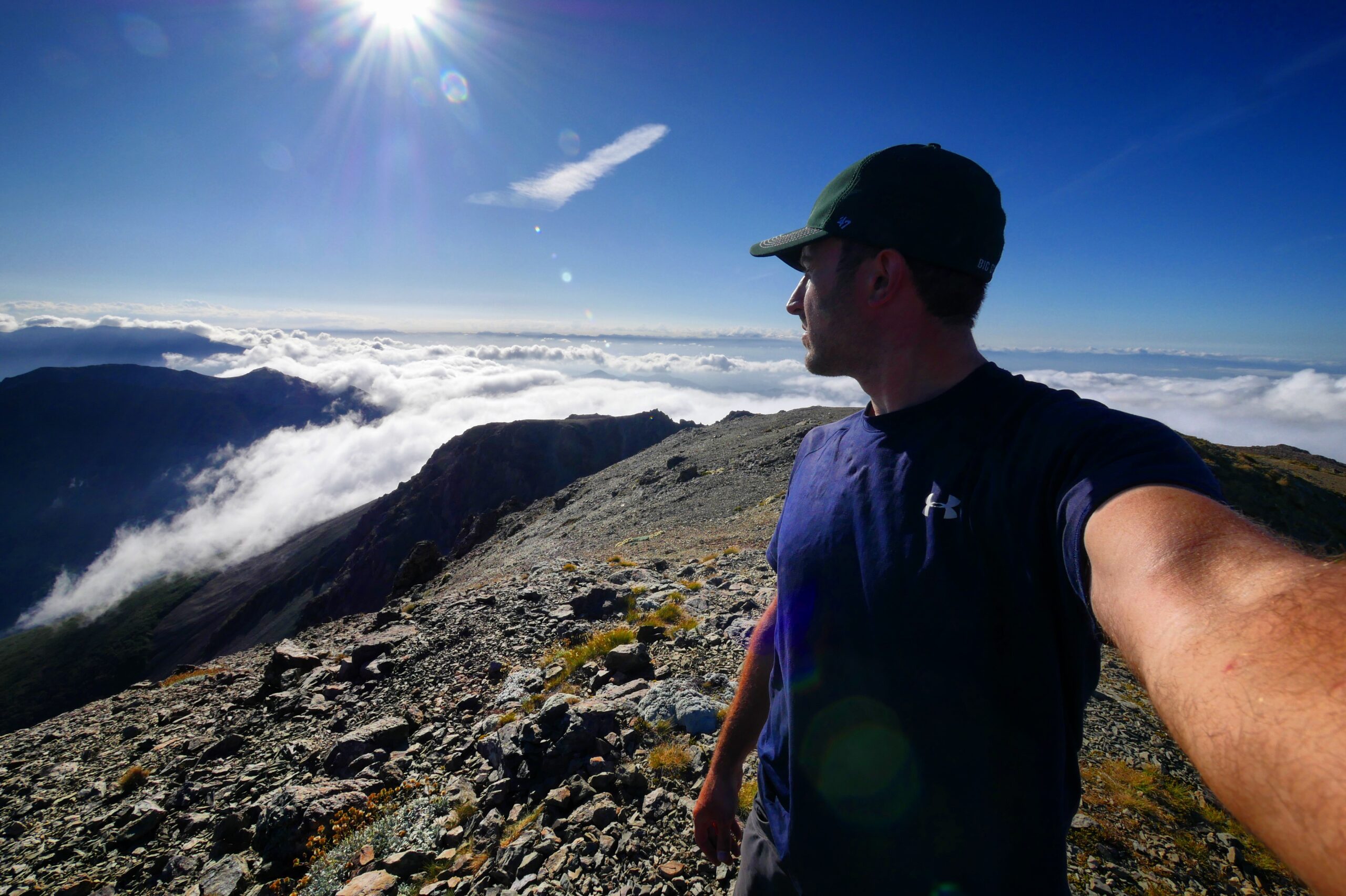
Hank admires the view above the clouds from the top of Mount Rintoul in New Zealand’s Richmond Range.
The next day, as I’m slogging up 800 meters (2,600 feet) toward Rocks Hut on a high peak, on a difficult trail riddled with fallen trees and root obstacles, I start to understand Jana’s warning. Though my trip plan is to hike twice as far as Rocks Hut, after taking 6 hours to complete the 10 kilometers to the hut, I am out of energy. There, I meet up again with Jana, who introduces me to dreadlocked, Canadian Vivyanne (trail name: Maple Leaf) and Lucas, two hikers who met coincidentally on the Te Araroa, discovered that they grew up in the same small town in Canada but had never met each other, and then (in my estimation) fell in love. The power of backpacking’s ability to bring people together always inspires me.
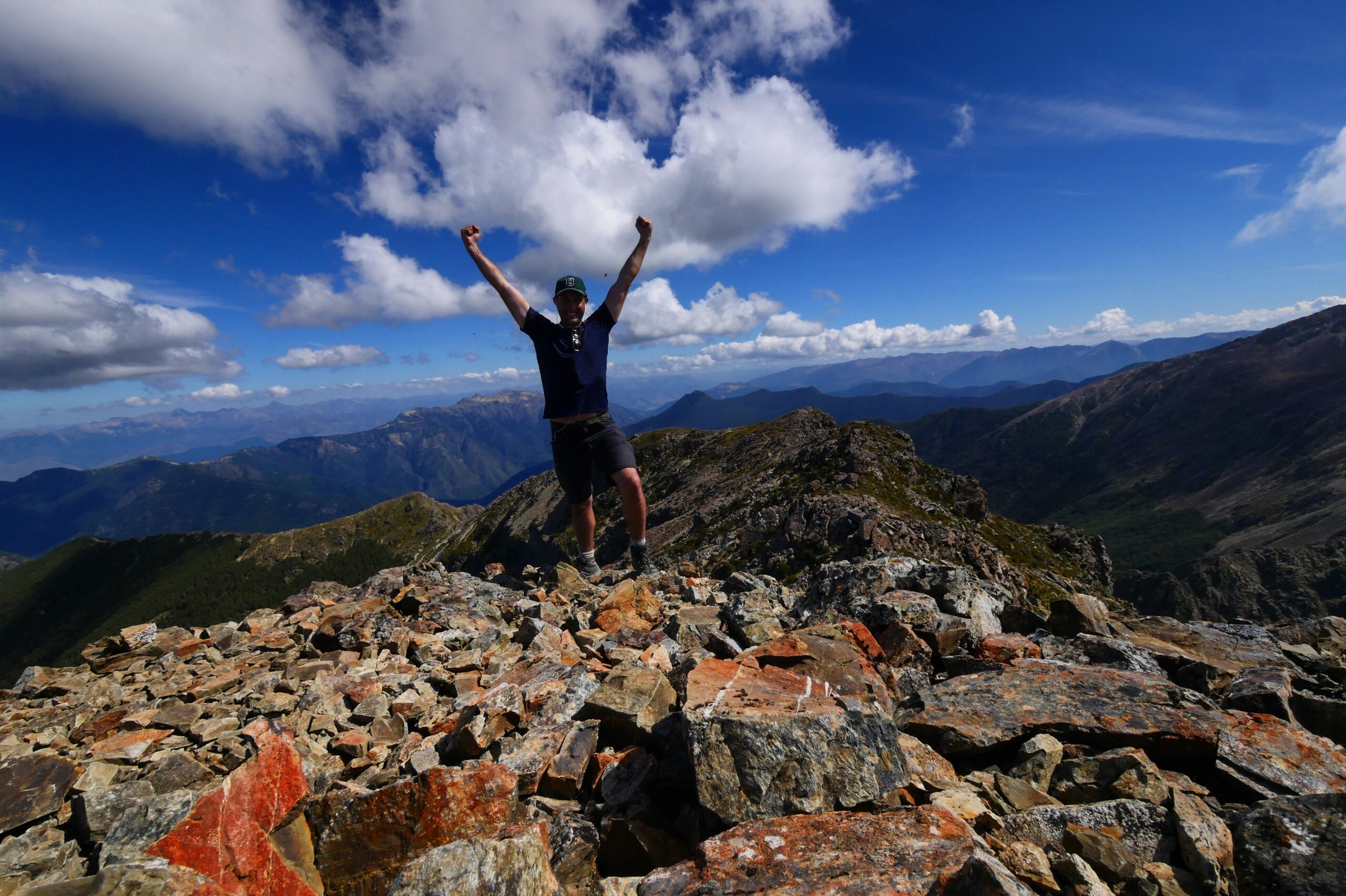
Hank celebrates his arrival atop Mount Rintoul in New Zealand’s Richmond Range.
“How many days of food are you carrying?” Jana asks me that evening.
“I started with a ten-day supply and have seven days left,” I say.
“You might not make it with that,” she warns. “You’ve already lost a half day by only getting to Rocks Hut, and if there’s any storm delays, you’ll be in trouble.” She hands me six New Zealand-made OSM (One Square Meal) Bars, which amounts to an entire extra day worth of food. “You’ll need these. You’re about the hike the hardest section of the entire 3,000-kilometer TA.”
Quickly, it becomes pointedly obvious why many consider the Te Araroa to be the most difficult long distance hike in the world. Over the next three days, I hike only 56 kilometers, but climb 2,600 meters (8,530 feet) and descend 2,400 meters. The terrain is brutal, especially for someone who has only just started adjusting to a long distance trail. At Hacket Hut, I meet Luke, a friendly Iraq and Afghanistan war veteran who tells me that he is hiking the Te Araroa for the Wounded War Veterans charity. He tells me that he has lost nearly 50 pounds so far. The next morning, on the grueling, seemingly-never-ending, 5-kilometer, 970-meter-gain climb to Starveall Hut, I meet Mike, a friendly, 50-year-old New Zealander who is hiking almost as slowly as I am (though still faster). I barely know him, but we celebrate jubilantly together upon reaching the top. (Jana/Destiny later tells me that she cried while hiking this section when she discovered that the trail continues to climb an additional 300 meters to Slaty Hut after this false summit.) When, after marveling at the astounding mountains views on the ridge along the way, I finally arrive at Slaty, I meet Carsten and Lena, a friendly couple from Germany; and Neil, a Kiwi living in Toronto. Despite my worries, they congratulate me on my stamina.
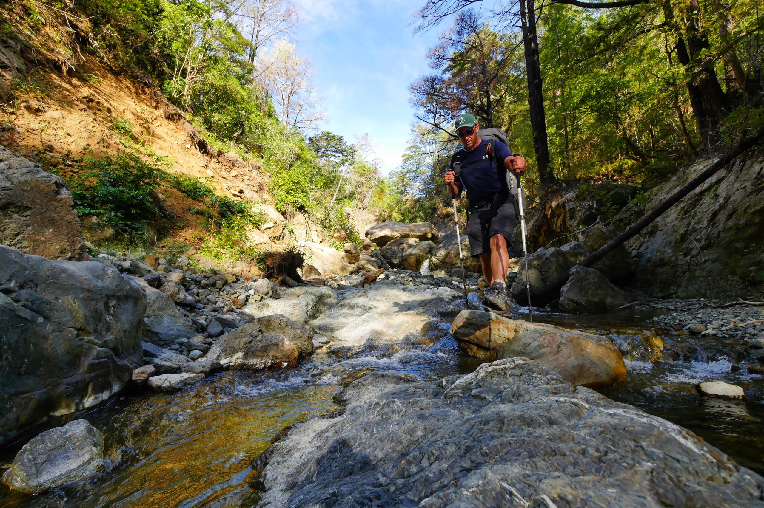
A hiker walks down the Pelorus River in New Zealand’s Richmond Range.
But, none of the huge climbs so far compare to the total mindfuck that is the next day’s journey from Slaty Hut to Mt. Rintoul Hut, a 14.5-kilometer, ten hour journey. From Slaty, the trail follows an exposed ridge line, without access to water but with stunning views of Mount Starveall, Mount Slaty, Mount Rintoul, and, of course, Mount Richmond. To be honest, I don’t look at my topo maps or trail notes very carefully in the morning, so, when, after climbing 300 meters up a steep slope of boulders and scree and then sidling precariously up a sheer rock face (where a single slip would have sent me tumbling down the valley to my death), I reach a summit, I celebrate with some whooping and collapse, proud of my accomplishment. About 60 seconds later, when I look out at a dizzying view, I see an orange navigational marker in the far distance and realize I’m atop only Little Rintoul. The trail continues on to an imposing, gray peak towering over me: the actual Mount Rintoul.
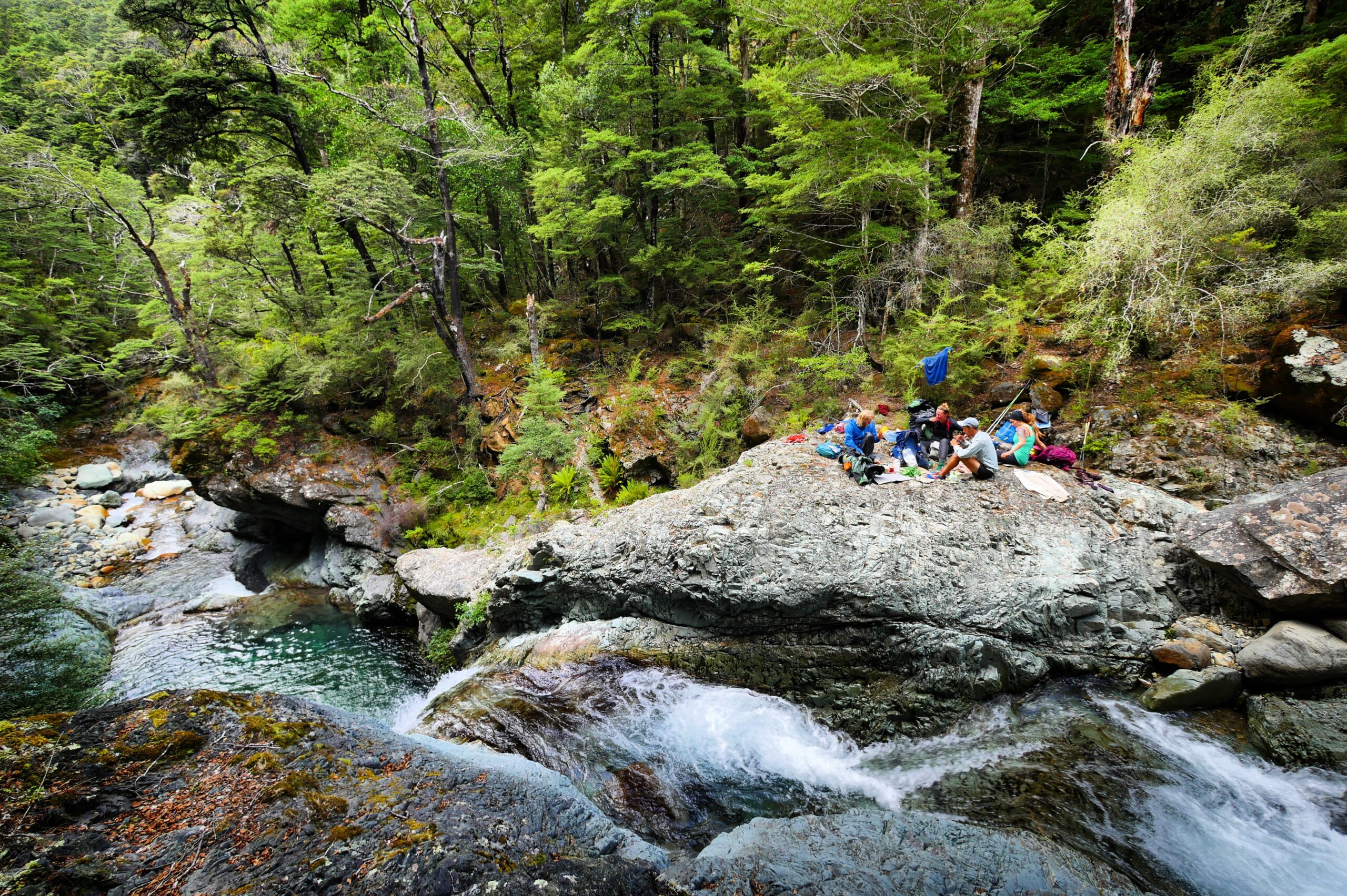
Te Araroa hikers eat lunch amongst waterfalls on the Pelorus River in New Zealand’s Richmond Range.
“They can’t… It doesn’t..” I mutter to myself. “What insane person designed this trail? Oh, shit.”
I have no choice but to continue on, and the trail descends immediately and dangerously, 250 meters down another steep and unstable scree slope. At one point, I see an orange navigational marker teetering on the edge of a steep cliff, and I’m in utter disbelief that it will be possible to reach it without tumbling down the mountain, let alone safely continuing afterward. Nevertheless, after slipping and sliding down part of the scree slope, I see that the trail starts climbing another 350 meters toward Rintoul’s summit. That’s when I realize that I’ve run out of water.
Also, Apple Music on my iPhone (even the offline songs) has stopped working without phone service, leaving me with only — for some unknown reason — the pastoral Dances with Wolves soundtrack. So, parched and exhausted, I turn on the soundtrack to inspire me to push on toward the top, stopping every so often to allow my legs to recover and wishing I had water to drink. But, finally, when I drag myself up the last few meters to the summit, I feel my thirst, exhaustion, and feelings of being totally overwhelmed melt away. The only thing left is Dances with Wolves‘s violins and a dizzying view of clouds circling the mountain peaks around me. It’s amazing how quickly pain and turmoil is forgotten when a goal reached.
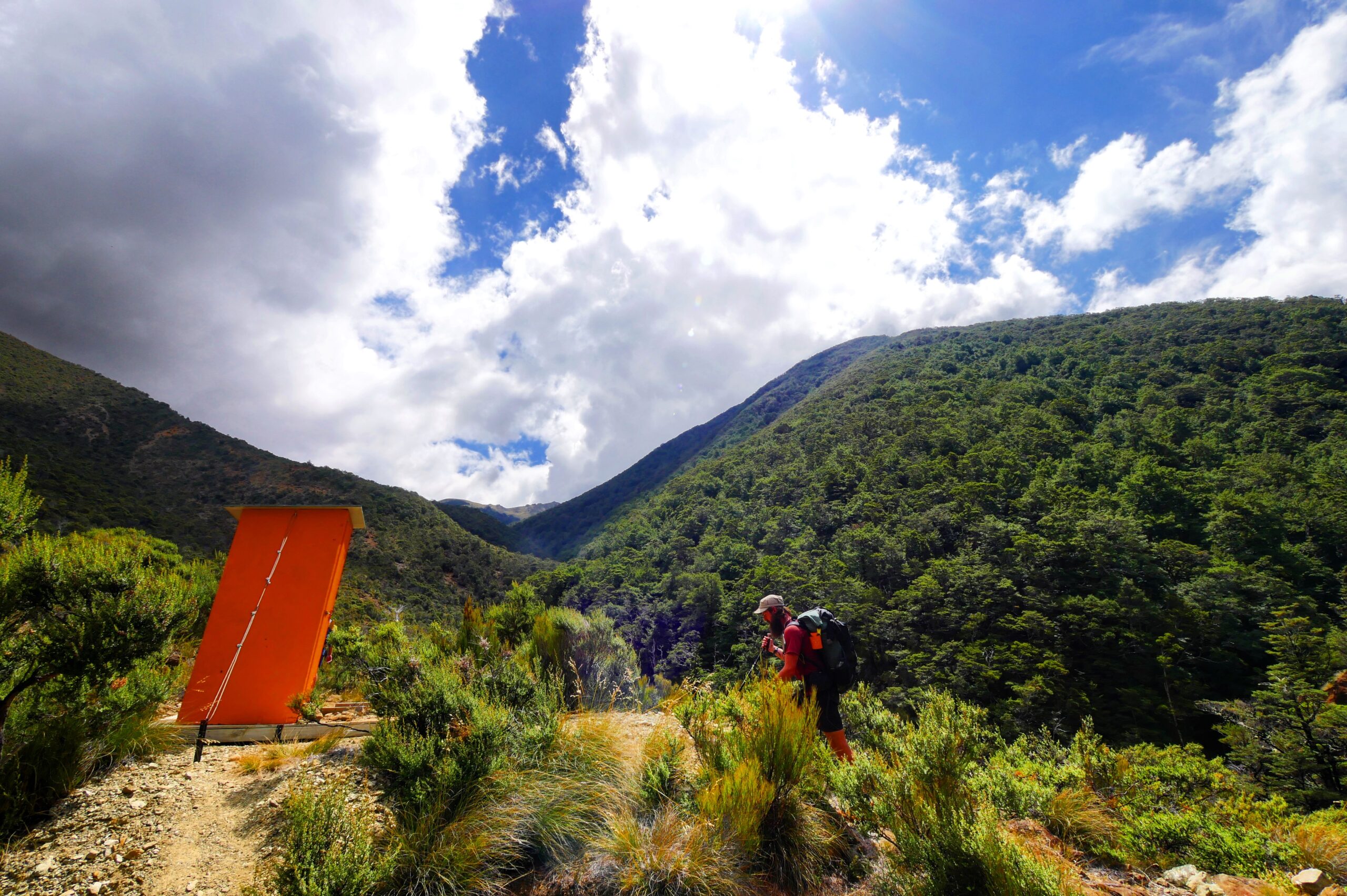
An outhouse sits in the Red Hills in New Zealand’s Richmond Range.
When, two hours later, I reach Mt. Rintoul Hut after a steep decline, in a grassy field with a view of the sun setting behind mountains in the distance, American Luke, New Zealanders Neil & Mike, and Germans Carsten and Lena greet me enthusiastically, cheering and clapping. I immediately down an entire liter of water.
“We waited for you a bit on the summit but we eventually had to head down,” Luke says. “We were a little worried about you.”
Since they, too, are all super fit after walking the entire North Island, keeping up with them had proved impossible, and I never caught sight of them for the entire day. But it’s still nice to know that people — even partial strangers — are rooting for and caring about me. I fall asleep again that night to the soothing sound of my air mattress deflating under me.
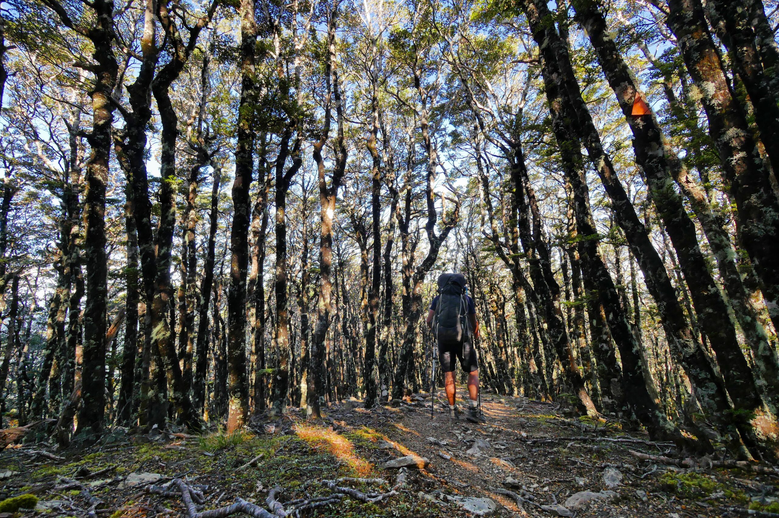
A hiker walks through a forest below Mount Rintoul in New Zealand’s Richmond Range.
After Mt. Rintoul Hut, I’ve completed the most difficult section of the Richmond Alpine Track, but the trail doesn’t get much easier. After a steep and relentless descent to the Pelorus River, I run into Ron, a seemingly-crazy guy hiking with a Tupperware container around his neck. The only way I can get him to stop talking to me is to inch past him slowly and politely. Soon after, a group of ultra-fit TA hikers in their early 20s, who were originally a half-day behind me due to a resupply stop they planned, pass me. This group includes Jana/Destiny and Vivyanne/Maple Leaf, who I chat with for few minutes while their group eats lunch under the hot afternoon sun next to a huge, shimmering waterfall. It’s warm enough that all the young guys have taken their shirts off as the trail sends us up steep, rust-colored boulder fields and enters the Red Hills, and I feel like I’ve somehow become a misplaced Burberry model in an Abercrombie and Fitch ad.
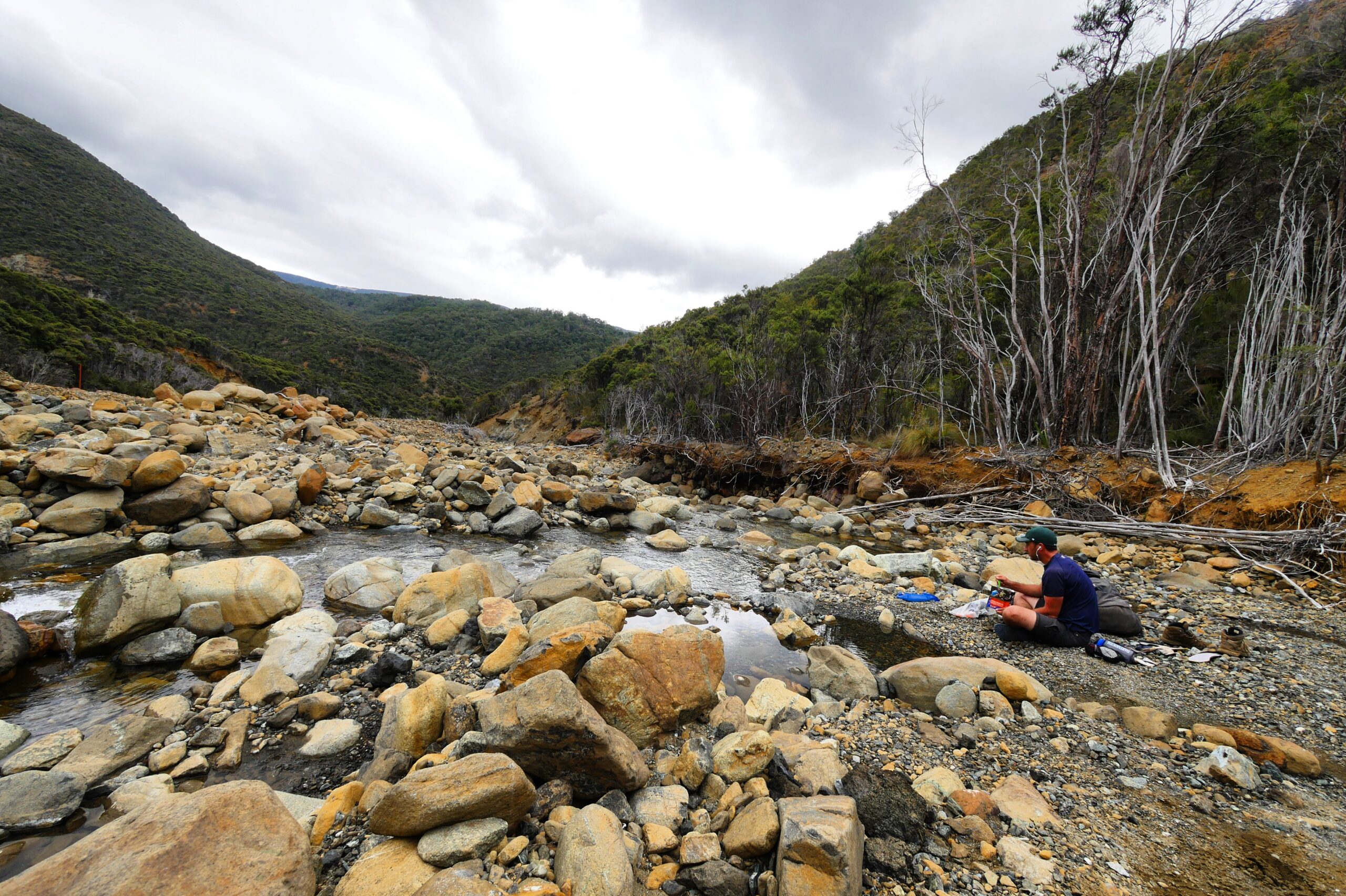
Hank enjoys his last moments in the Richmond Range by eating lunch in a river bed.
The Abercrombies quickly pull far ahead, and on my last day in the Richmond Range, I find myself following the picturesque Motueka River Valley, listening again to the only thing I can, the Dances With Wolves soundtrack. The music and the landscape make the journey feel special, and when the trail drops me all the way down to the river bed, I stop on a dry shingle to have lunch, savoring my last few hours in New Zealand’s Richmond Range by myself. It’s clear that I have enough food to finish the trail, but Jana was right: if there had been a single bad weather day, I would have been in trouble.
In the evening, the Abercrombies cheer and clap when I arrive at Red Hills Hut, two hours after them. They’re not patronizing me. They’re genuinely impressed that I’ve managed to finish the trail on their daily schedule, albeit a couple hours late each night. We eat dinner, play cards, and laugh about crazy Ron, who they too had trouble escaping on the trail. I feel sad, knowing that not only will I not only be able to keep pace with these new friends, but that the packrafting aspect of my New Zealand adventure will soon force me to diverge from their route. But, for now, I bask in the unique camraderie of Te Araroa thru-hikers having completed the imposing Richmond Range. Totally depleted but utterly happy that I’ve finished what felt like thru-hiker boot camp, I fall asleep even before my leaky air mattress has completely deflated itself.
An authentic Kiwi adventure
Hiking over New Zealand’s Waiau Pass and packrafting the Waiau River’s narrow whitewater gorges.
MARCH 30, 2016 — “What do you need this for?” Jana says, removing my backpack’s cover in the Alpine Lodge backpacker’s hostel in St. Arnaud.
“It has pockets for holding stuff!” I respond. “And it keeps rain out of my pack!”
“Okay, but could you live without it?”
“I guess.” I pout.
Over the past hour, Jana — a 32-year-old post-doc, Te Araroa hiker from Göttingen, Germany, who I met while slogging through New Zealand’s Richmond Range — has been doing an unforgiving review of every item in my backpack. I get the distinct feeling that she’s partly fulfilling a secret fantasy to act out a well-known backpack-weight-reducing scene in the (appallingly bad) bestselling book, Wild, but the exercise has also proven to be unexpectedly helpful. Though I’m an experienced backpacker and my packing was already restrained — I’ve backpacked over 5,000 kilometers in the last ten years — I discover that having another person forcing you to make hard decisions about what’s in your pack is an surprisingly effective way to reduce weight. When the somewhat-stressful process is finally over, Jana has conviced me to lighten my load by about 2.2 kilograms (almost five pounds). I’ve gotten rid of an extra jacket, some never-used first aid items, and an assortment of helpful-but-unnecessary doodads and backup batteries. Thru-hikers nearly consider taking advantage of multi-function gear to be a religion, so Jana also makes me toss my sleeping bag’s useless stuff sack so I can stuff it into my dry bag instead. Happy with the results of her cajoling, she heads out hiking a day before me, to catch up with our hiking friends from the Richmond Range. I decide to wait an extra rest day for rainy weather to pass, because I may or may not be a wimp.
The Waiau River features some of New Zealand’s best whitewater, including a smattering of Class III and IV boulder gardens and gorges.
Of course, the weight-savings is a big relief for me, because, when I walk to the edge of Lake Rotoiti the day after, I’m carry my camping gear, six days worth of food, and my heavy packrafting gear, which includes a raft, paddle, life vest, and white-water paddling helmet.
“You’re going to carry a boat over Waiau Pass?” asks Karli, a 22-year-old, German, Te Araroa hiker, when she sees the paddles attaches to my pack as I pass her on the way to Lake Rotoiti. “That’s crazy.”
“It probably is,” I say. “But it’s a real adventure.” I know why she’s skeptical. The route includes a two-day 1,125-meter ascent over Travers Saddle followed by a 1,613-meter ascent via Blue Lake over Waiau Pass, nearly the same amount of climbing required for Slaty to Mt. Rintoul Hut in the Richmond Range, the section that almost made my brain explode just a few days before. But the part that I’m most nervous about is packrafting the Waiau River: the water levels are unpredictable, paddling with too little or too much water can be perilous, and a dangerous, narrow gorge of Class IV whitewater called the Narrows awaits me near the bottom of the run. Of course, I also know that, if I manage to pull it off, it will be one of the most exciting stages of my trip.
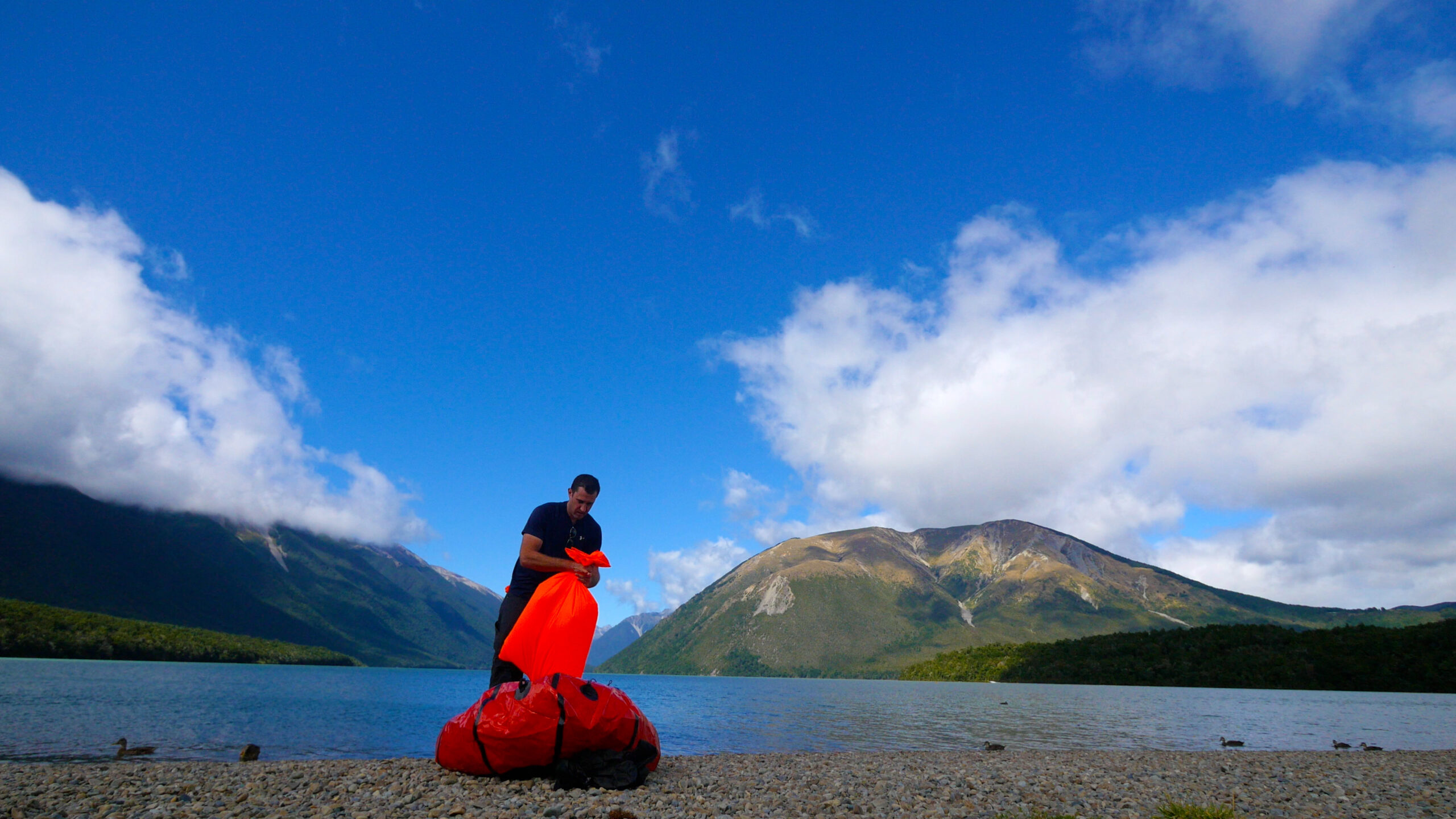
A rafter at Lake Rotoiti in St. Arnaud inflates a packraft by trapping air in a fabric bag and then squeezing the air into the raft.
On the beach in front of Lake Rotoiti, I inflate my packraft, surrounded by jetboaters, fishermen, and tourists, all curious and skeptical about my raft.
“I’ve never seen anyone inflate a boat like that in my life,” a middle-aged New Zealander with a thick accent says to me as he watches me inflate the boat by squeezing a bag of air into the raft’s air chambers. Looking at the faces of the audience around me, it’s obvious that everyone assumes I’ll sink to the bottom of the lake the minute I jump in. Of course, when I strap my backpack to the boat and push off toward the mountains, I don’t sink. I hear actual applause behind me as a tailwind quickly fires me toward the massive mountains ahead: Mount Robert, Angelus Peak, Mount Cedric, Mount McRae, and Peatner Peak. There’s no point in pretending to be jaded: the neon blue water, reflecting the cinnamon peaks blanketed by verdant beech forest is one of the most beautiful views I’ve ever seen, and it’s enhanced by the knowledge that I’m making my way across New Zealand, by myself, in a boat that I’ve been carrying on my back.
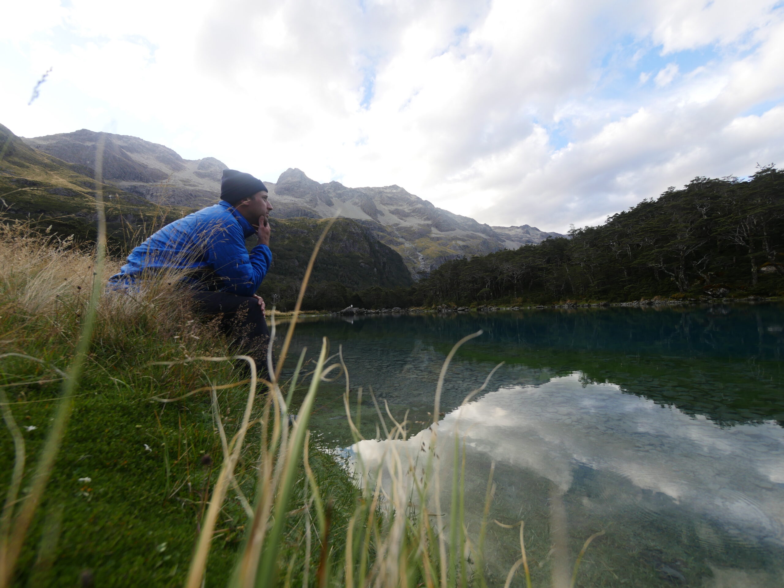
A hiker sits in Nelson Lakes National Park on the edge of Blue Lake, proven to be the clearest natural body of fresh water known to man.
Lucky for me, the strong tailwind rockets me exactly where I want to go — toward the end of the lake — so I don’t need to paddle much. After about five kilometers of sailing, a family in a jetboat appears beside me.
“Hey, you need any help getting back?” the captain — who appears to be the family’s father — yells. “I know the wind isn’t helping.”
“Nope! I’m not going back,” I yell back to him. He and his family look confused. I can see him trying to work out some sense in what he’s seeing: a seemingly-clueless guy in a tiny raft weighed down with a huge backpack being blown away from shore has just told him he never plans to return to the beach.
“Uh, okay,” he yells. It’s clear that he’s decided that I’m insane. “Good luck?” He motors away, but very slowly, as though he’s confident that in just a second I’ll recover my senses and yell that I need help getting back to shore. But, I continue paddling toward the mountains, and he continues toward St. Arnaud.
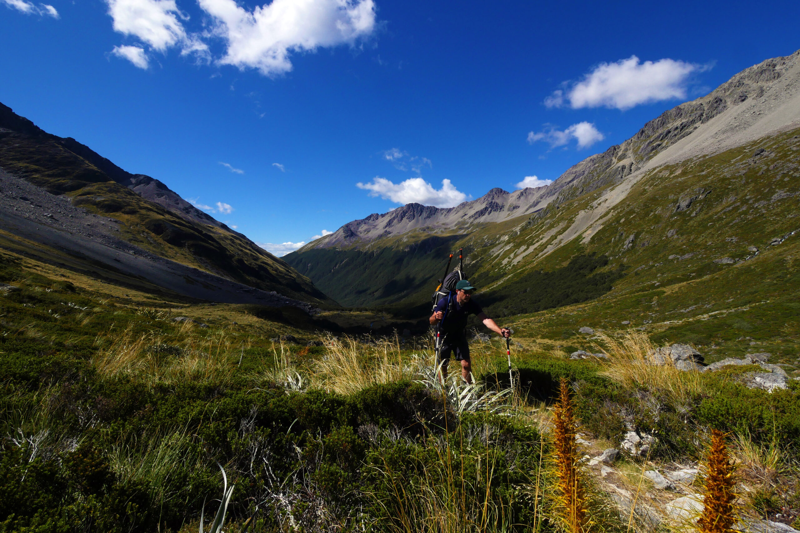
Hiking up Travers Saddle is just a warmup for the challenging climb up Waiau Pass farther down the trail.
I reach John Tait Hut in the evening, and, because I’m feeling a bit ill — was it the decadent amount of pizza I ate in St. Arnaud? — it takes me an extra day to climb Travers Saddle and reach Blue Lake, a blue-violet gem nestled below Mount Mahanga and Lake Constance. Sitting on the edge of Blue Lake, which has been proven to be the clearest natural body of fresh water known to man, I get a rare sighting of some swimming blue ducks, an endangered species endemic to New Zealand but threatened by mammals introduced to the country in the 19th century. In the nearby hut, I’m happy to rediscover Jana, who has also hiked slowly due to some knee pain. She tells me that she’ll be ready in the morning to tackle Waiau Pass and introduces me to Henk, a 60-year-old New Zealander who does botanical research work for the Department of Conservation, New Zealand’s governmental environment steward. Because the Te Araroa is only a handful of years old, he’s thru-hiking it for the first time, but he’s a New Zealand hiking expert and knows the terrain well.
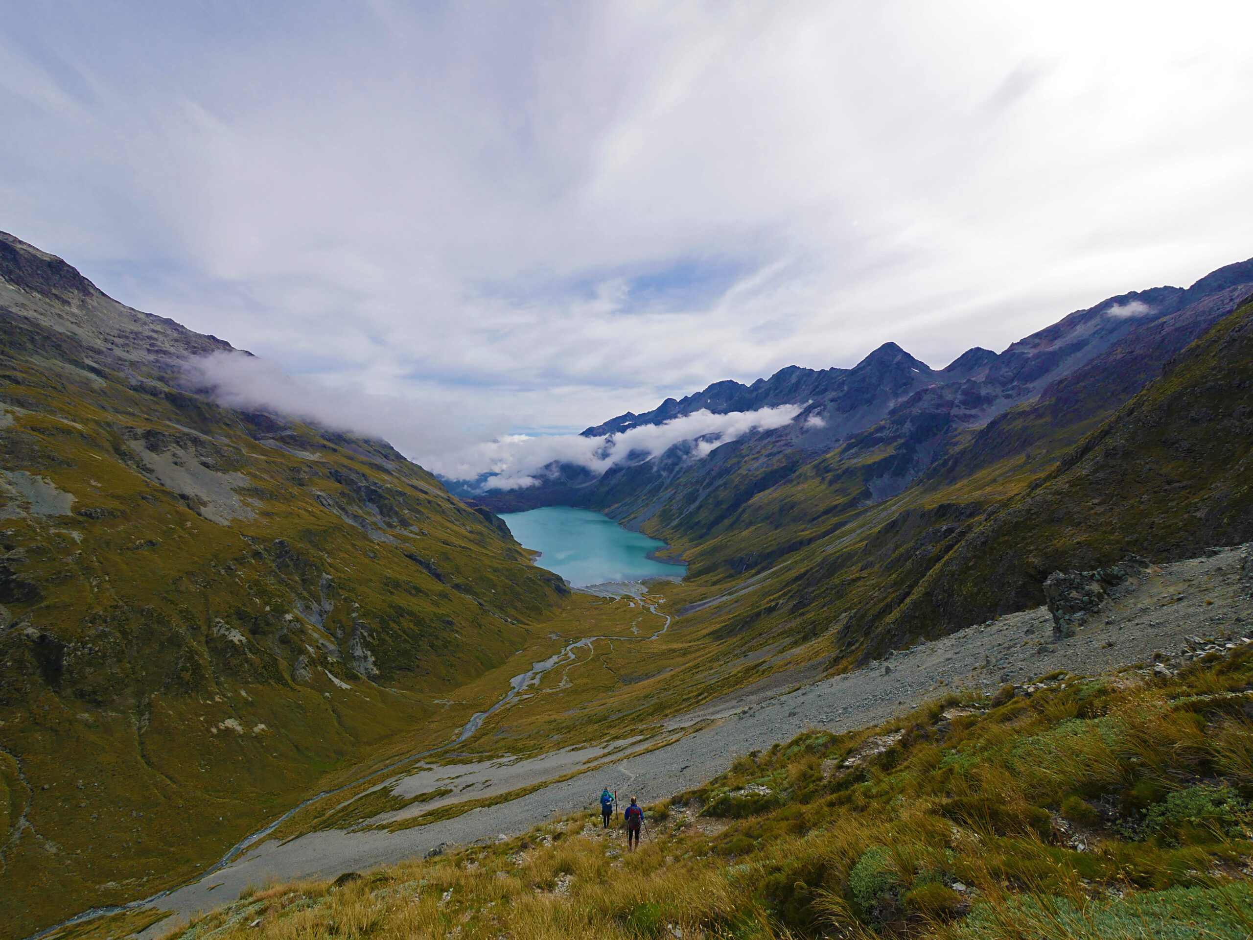
The view of Lake Constance from the top of Waiau Pass is one of the most beautiful sights in all of New Zealand.
“Having two people in our group with almost the same name is going to be very confusing,” I say to Henk. “But, you seem like the right guy to help us get over the Pass.”
“It’ll be a climb,” Henk says. When he sees the paddles attached to my bag, I tell him that I’m carrying a packraft. He stares at me for a surprisingly long time, and I brace myself, expecting him to tell me that I’m crazy. “I like the way you think. I doubt anyone has ever tried to carry a boat over the Waiau.”
“I have no idea what will happen or if it will work,” I say. “But isn’t that what authentic adventure is?”
In the morning, Jana, Henk, a French hiker named Edmond, and I begin the 15-kilometer, 900-meter-ascent climb over Waiau Pass together. Soon, we reach Lake Constance — a turquoise masterpiece tucked between two mountains — and, surprisingly quickly, we climb over Waiau Pass and then down the steep, jagged walls of rock on the other side. I notice that, now, even hard climbs seem easy as compared to my time in the Richmond Range. Henk suggests that we stop for lunch after and just below the Pass, and he successfully encourages us to push forward to Caroline Creek Bivy when the valley begins to flatten out.
After dinner, as I lie in my tent in the evening, I have trouble falling asleep. A few days before, I read a trip report on the Internet about a group of paddlers who kayaked the Waiau River (via a road-accessible put-in farther downstream), fell out of their boats and into the water while paddling rapids in the notorious Narrows canyon, and proceeded to lose their boats, gear, food, and paddles when they floated away down river. I stay up late, nervous and unsure, having no idea what lies ahead of me. It wouldn’t be an adventure if I did, I think, as I stare sleeplessly at hundreds of sandflies buzzing under my tent’s rain fly.
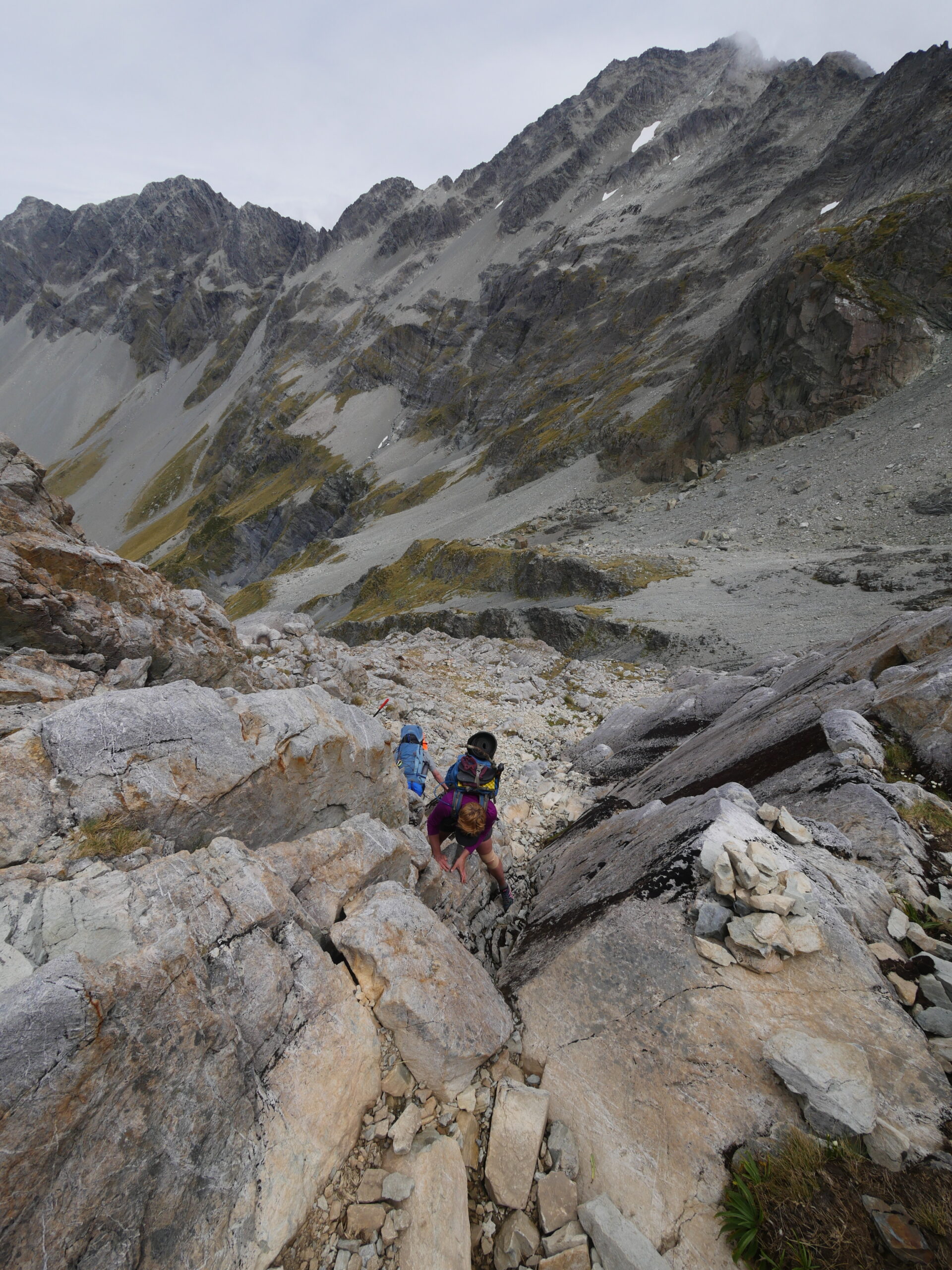
The climb down from Waiau Pass is very steep and includes some (mild) technical elements.
Just after sunrise, Jana, Henk, and I have breakfast and then start hiking together. After about 20 minutes of walking, the river’s water level looks high enough for me to take a shot at rafting it. Jana and Henk watch with fascination as I inflate the boat. When I’m ready to push off, the three of us take a photo together with the rushing Waiau in the background. We don’t know if we’ll ever see each other again, because, downstream near the Ada River confluence, our routes will diverge. We say long goodbyes, and I feel sad as I paddle away, because they’re both warm, caring people — and two of the best friends I’ve made in New Zealand.
My progress on the Waiau begins slowly, because there’s not always enough water to paddle over the river’s many shallow shingles. I have to get out of the boat to tow or carry it a handful of times, but, soon, I’m happily making fast progress down the river’s wide braids, encountering little whitewater. After a couple hours of paddling, I catch sight of Jana and Henk eating lunch on shore, which makes our extensive goodbye ceremony seem ridiculous now. After a quick stop to enjoy lunch together, we say goodbye yet again, this time knowing for sure that our paths will separate.
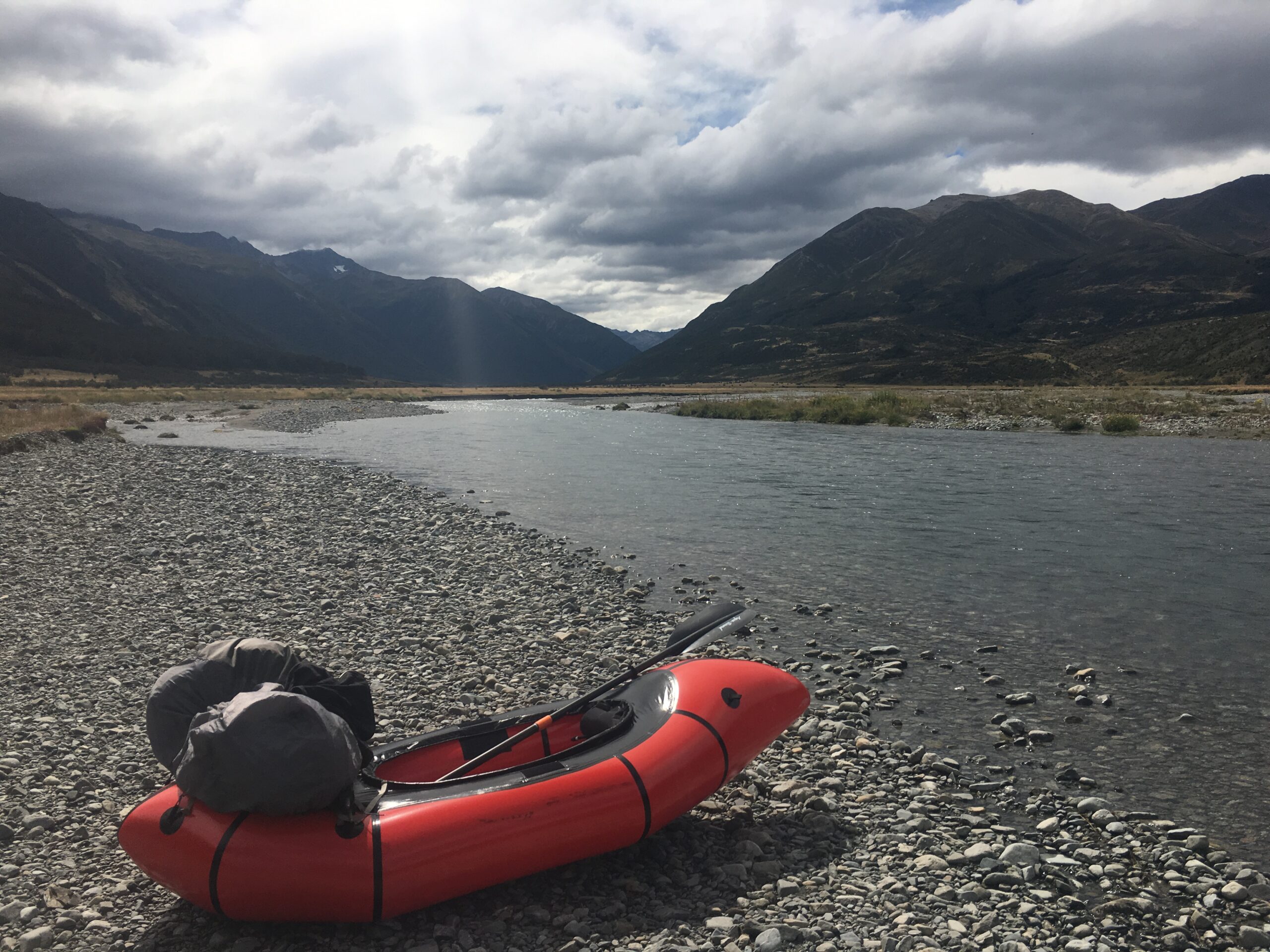
A packraft sits on the edge of the Waiau River, flanked by Mount Mahanga and the Saint James Range.
Near the confluence of the Waiau and Ada Rivers, the Waiau’s the water level rises, and I find myself navigating through a smattering of small boulder gardens. I feel like I’m riding a bronco in a rodeo as the front of the raft bucks up and down violently, and I’m repeatedly soaked by whitewater waves for the next five kilometers. Maybe my next gear purchase should be a dry suit, I think.
When I reach Delta Stream, I see that the river narrows ahead and takes a sharp turn to the left. As I paddle into the turn, I realize that I’m unexpectedly entering a gorge, which takes another quick turn to the right. Suddenly, I see three huge boulders in front of me preceding a 1.5-meter drop, but I’m already moving too fast toward them to reroute myself. I paddle to the left of the largest boulder, but I realize too late that my choice is taking me flying over another boulder hidden just under the surface. The front of my raft crashes down below the rock, and I immediately make a classic packrafting mistake: I don’t lean far back to balance the raft. The raft immediately flips over and I fall out into the nearly freezing glacially-fed river.
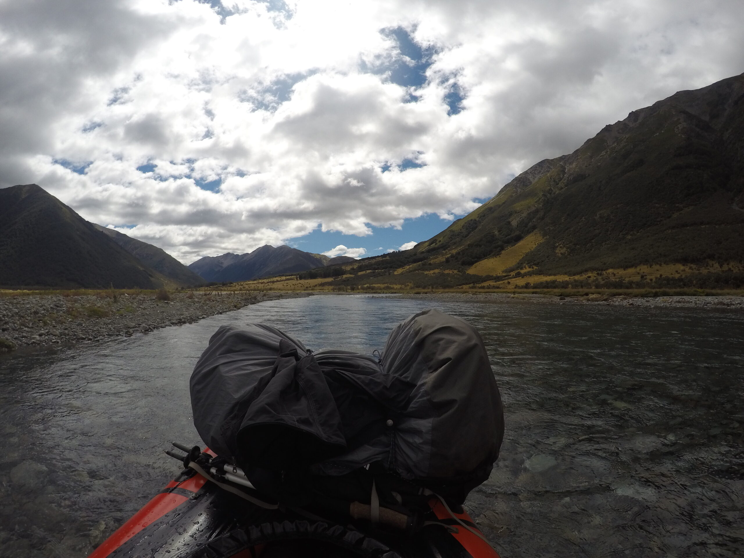
Before the confluence with the Ada River, the Waiau River is mostly wide and slow moving.
My flotation vest keeps me afloat, but the coldness of the water is so shocking that I feel disoriented. I’m also terrified that my worst nightmare — losing my paddle, gear, and food — will come true, so I immediately grab my raft with my right hand and hold my paddle in my left. Just as I grab the raft, however, I reach more large boulders and realize that my minor disaster hasn’t ended yet. As the river drags me down a couple more drops, I feel my thigh crash into a large, sharp rock under the water. I’ve made another classic paddling mistake: I’m not floating downstream on my back with my legs on the water’s surface. I feel my right knee scrape against more underwater boulders as I fall down a third drop, and, to my horror, I see my backpack become detatched from my raft and torpedo downstream. The gorge has ended with a calmer, more shallow section of water, but I’ve been left floating with my paddle in one hand, my raft in the other, and the food and gear in my backpack floating 20 feet ahead. To make matters worse, my left leg feels like someone has bashed it with a baseball bat, and I see that my right knee is bleeding.
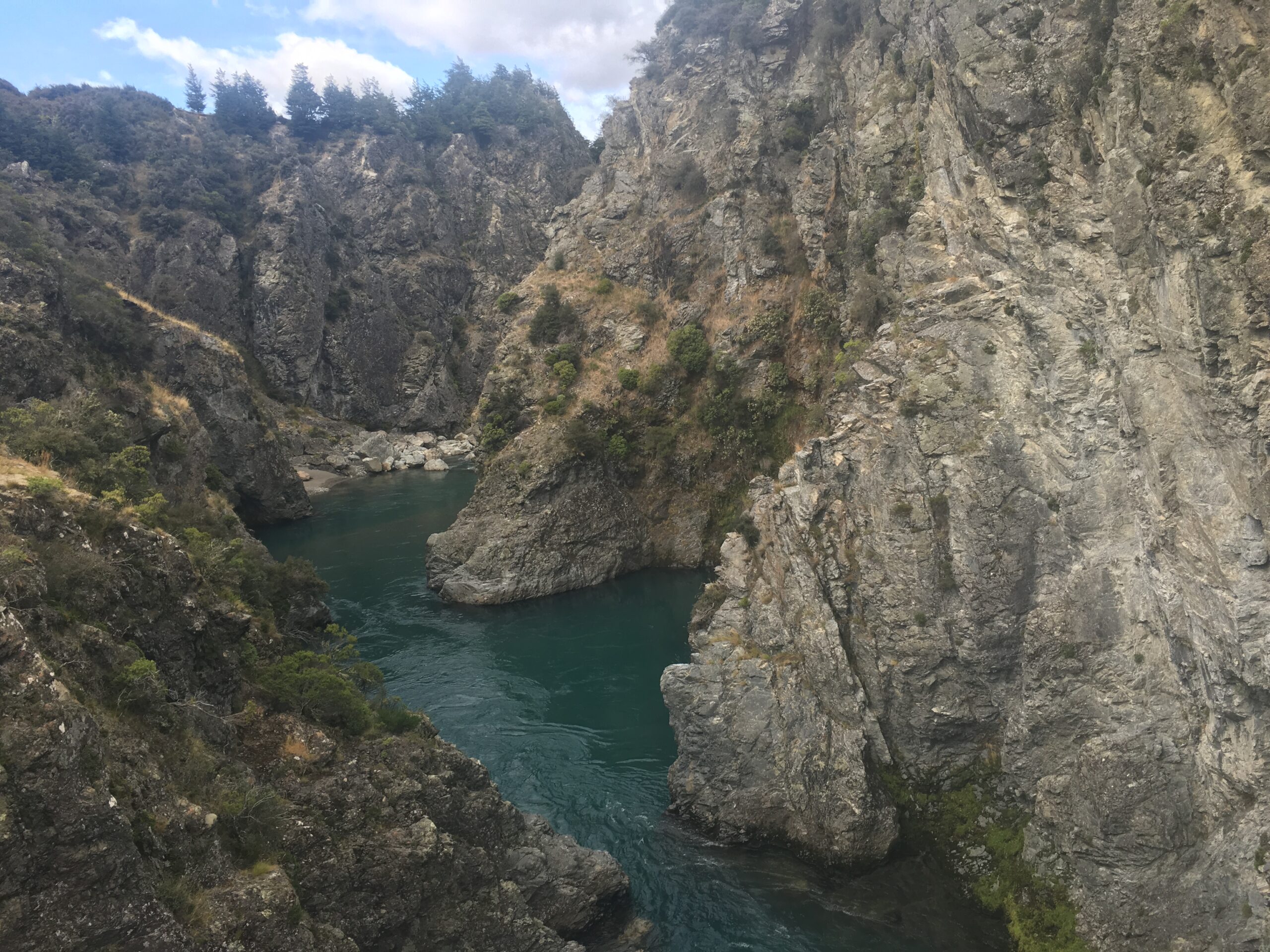
The narrow gorges of the Waiau River below the Ada River confluence make for some exciting whitewater paddling.
Determine to avoid a complete disaster (too late?), I run as fast as I can (which, in waist-deep water, looks like slow-motion) toward my backpack. Thankfully, I catch up to the pack, grab it, and use my last remaining strength to drag all of my belongings to a small bluff on the side of the river.
Feeling frozen and totally trashed when I finally get out of the water, I strip off my wet clothes, pull my sleeping bag out of its dry bag and immediately get into it. It’s completely dry (thanks Jana!), and, though I have to lie in it for about an hour, I eventually warm up enough to gather my thoughts and decide what I’m going to do next. I hang all of my clothes and gear on nearby trees to dry and decide to make dinner, which proves to be impossible at first because my lighter was completely submerged when my backpack fell in the water. (Unfortunately, I purged my waterproof backup matches from my pack during the Great St. Arnaud Weight Reduction.) Though it takes me an hour of finessing, I eventually manage to generate a spark from the lighter’s spark wheel and light my stove. This sure is an authentic adventure now, I think. Freeze-dried lasagna never tasted so good.
At daybreak, though my left quadricep feels like someone dropped a piano on it, I feel psychologically recovered and jump back into my raft. I paddle two kilometers to Saddle Spur Bridge, where the river takes a sharp turn into another gorge. Though it’s likely I could paddle safely through using the lessons I learned from my last fall, I decide to play it safe and carry my boat ahead to McArthur Bridge, where I know the river widens until reaching the notorious Narrows. I follow the beautiful McArthur Track (part of the St. James Cycle Trail) on the east-side of the river in an attempt to save some time, but I discover that the shorter east-side trail crosses the river through a deep, fast-moving, boulder garden that, at current water levels, is only safe to cross with a raft. So, battling intense wind — I’m admittedly bitter that no one warned me in advance about the only two bad things about New Zealand: sandflies and strong wind — I inflate the packraft again, drop into a very fast-moving current, and explode across the river to continue hiking on the other side.
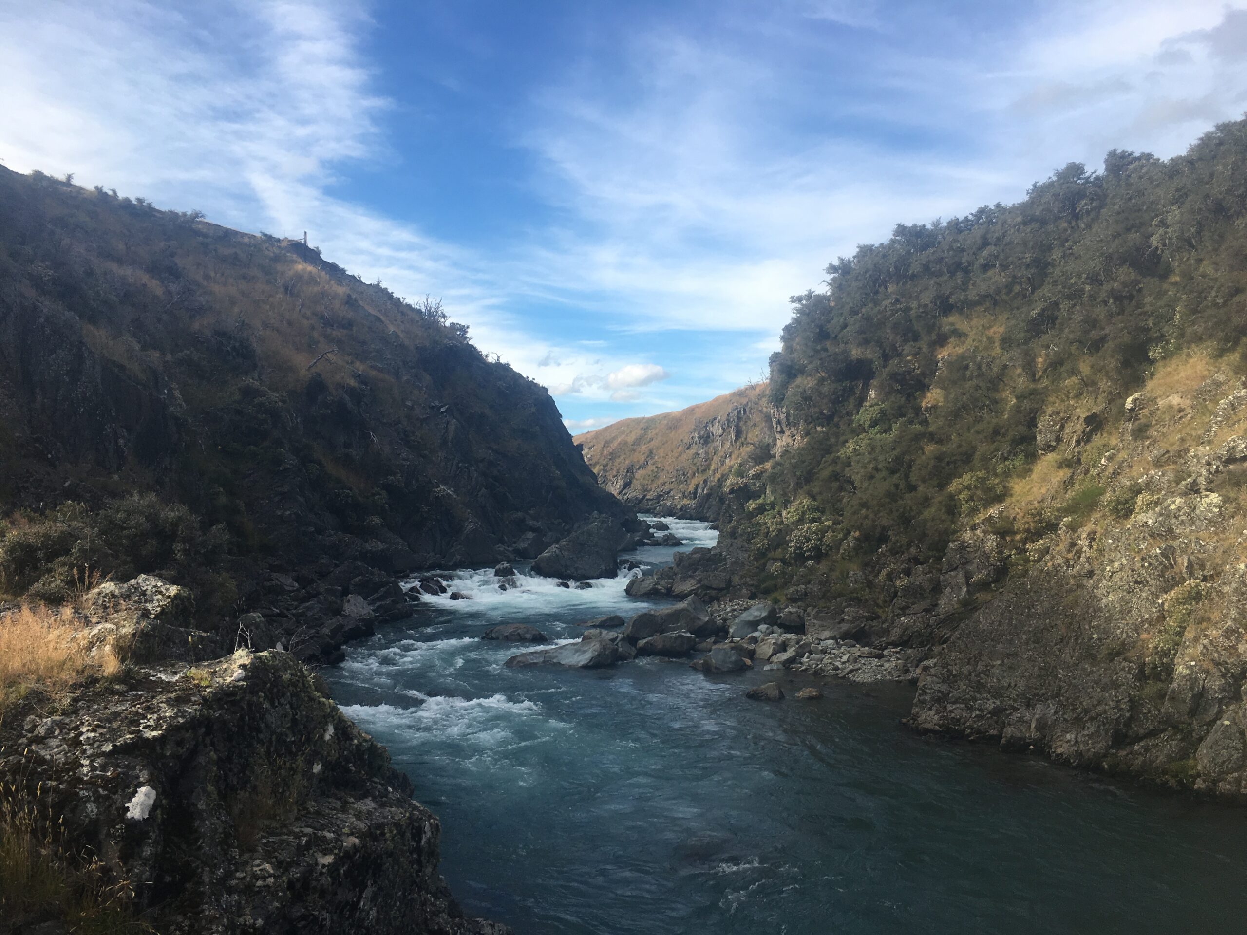
In a small gorge near Delta Stream, my packraft flipped over and the current dragged me over three drops downstream.
At McArthur Bridge, I slide back into the water and start paddling again, enjoying fantastic Class II and III whitewater. Due to my unpleasant fall through the Delta Stream gorge, I’m feeling extra cautions about avoiding the Narrows, so I exit the river about 1.5 kilometers before the Narrows and walk on a bypass trail shown on my Garmin GPS — but not, mysteriously, on my (more up-to-date) Maptoaster New Zealand topo maps. The reason for the discrepancy becomes clear quickly. The “trail” quickly turns into a nearly impossible bushwhacking exercise, putting me well behind my planned schedule and leaving me stranded on a bluff above the river with no way to continue forward and a very unpleasant, skin-shredding return route. Fed up, I drop my backpack off the bluff to the river bank below and then carefully climb down the steep cliff to reach the river again. Fortunately, my path soon connects to a 4WD track, which bypasses the Narrows and leads me to Tin Jug Hut, where, due to the many delays during the day, I decide, reluctantly, to spend the night to recharge and finish this section, nearly foodless, tomorrow.
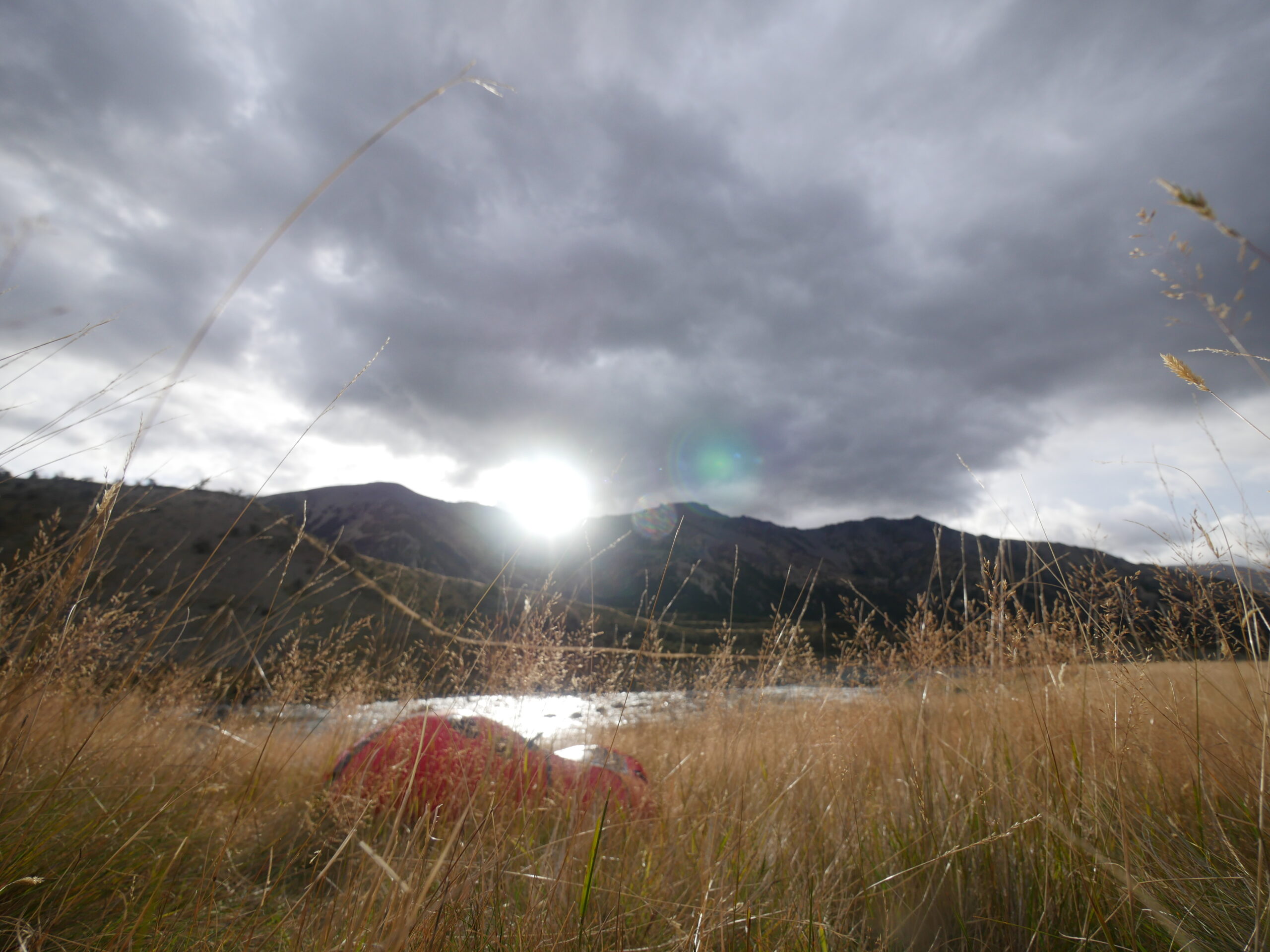
A packraft sits next to the Waiau River.
After a good night’s sleep, I continue paddling through a network of beautiful, winding gorges, populated with Class II and III boulder gardens, making the paddling quite exciting. Some of the winding, narrow sections of the river have some tricky eddys to navigate, and, at the bottom of most of the gorge rapids, I encounter boils and seam lines, where strong current flowing down the rapid and water sliding over a rock shelf from a different direction converge, forming seams in the river. These seams are very unstable and can flip kayaks and packrafts unexpectedly or, at least, send boats in unexpected and undesired directions. I learn quickly to read the river’s surface as best I can and use my paddle to compensate in these tricky canyons. Out of necessity, my whitewater paddling skills improve fast and significantly.
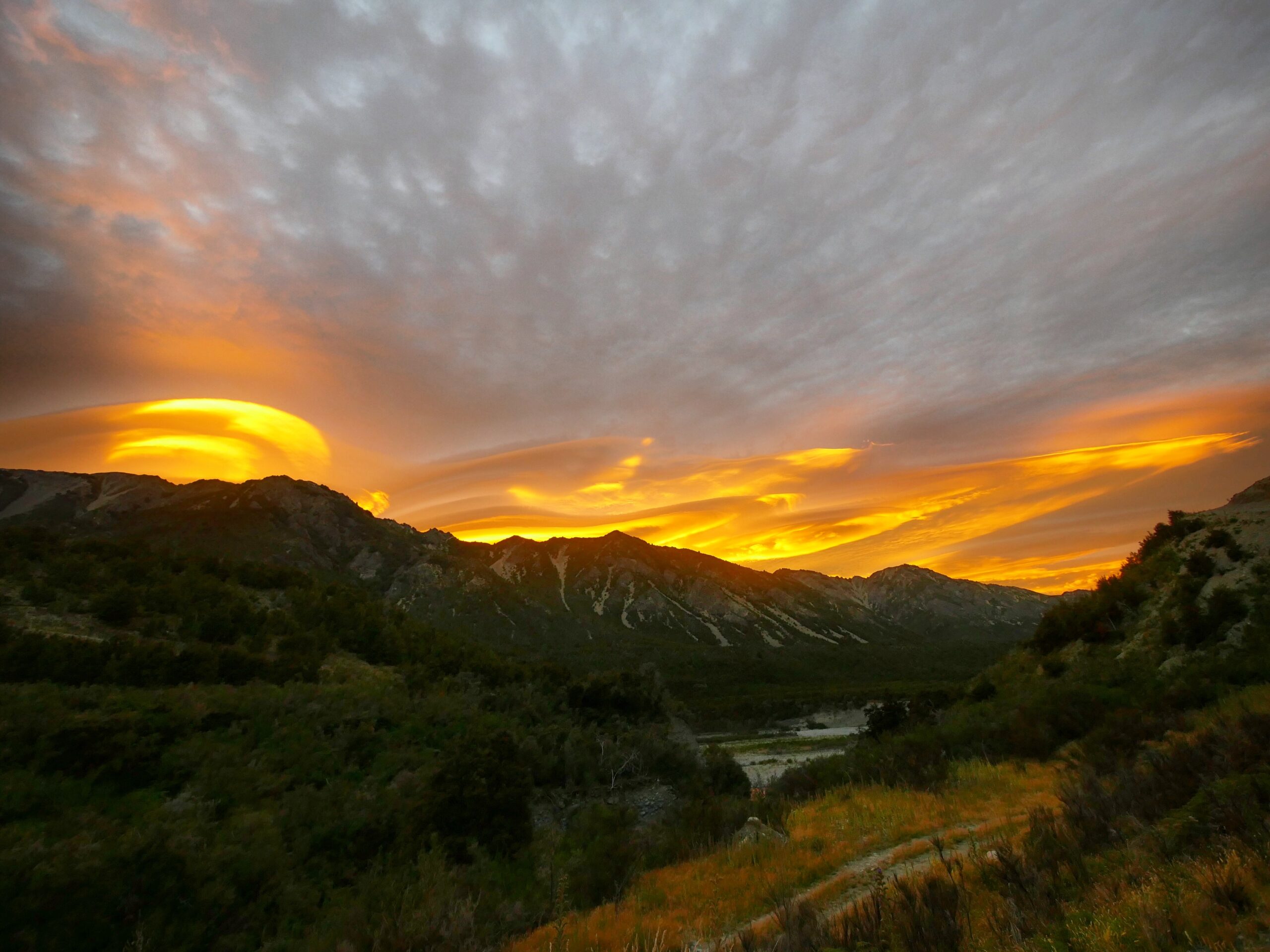
The sun rises over the Waiau River valley.
When I finally reach the Hope River after about 21 kilometers of paddling and catch a glimpse of the highway, sitting on some high bluffs above the river, I’m ecstatic, partly because I’m excited to have made it down the Waiau without drowning, and party because I’ve been in the wilderness for seven days and have only a single protein bar left in my backpack. When I paddle to intersecting Gorge Stream, I consider trying to climb up the stream bank to the highway, but it looks a bit too steep to do easily, especially knowing that an Internet report I found during my original trip planning suggested walking to the highway via an access road near Calf Creek, just one kilometer east.
When I reach Calf Creek, I cheer loudly, park my packraft on the river bank, and search for the access road to the highway. My spirits dampen quickly though, when, after 45 minutes of meticulous searching of the bluff line, I can’t find the road. There’s no easy or safe way to get out of the river without an access road from here due to steep cliffs below the highway and dense bush making it impossible to walk anywhere away from the river. After searching for over an hour, I feel desperate. On a whim, I turn on my mobile phone, and, to my surprise, I have phone service for the first time in seven days, though it’s not stable enough to do Internet searches or make phone calls. But, I manage to message one of my oldest friends, Brad, hoping that, just maybe, he’s sitting at his computer, bored, waiting for an old friend trapped next to a New Zealand river to ask for help to avoid starving to death.
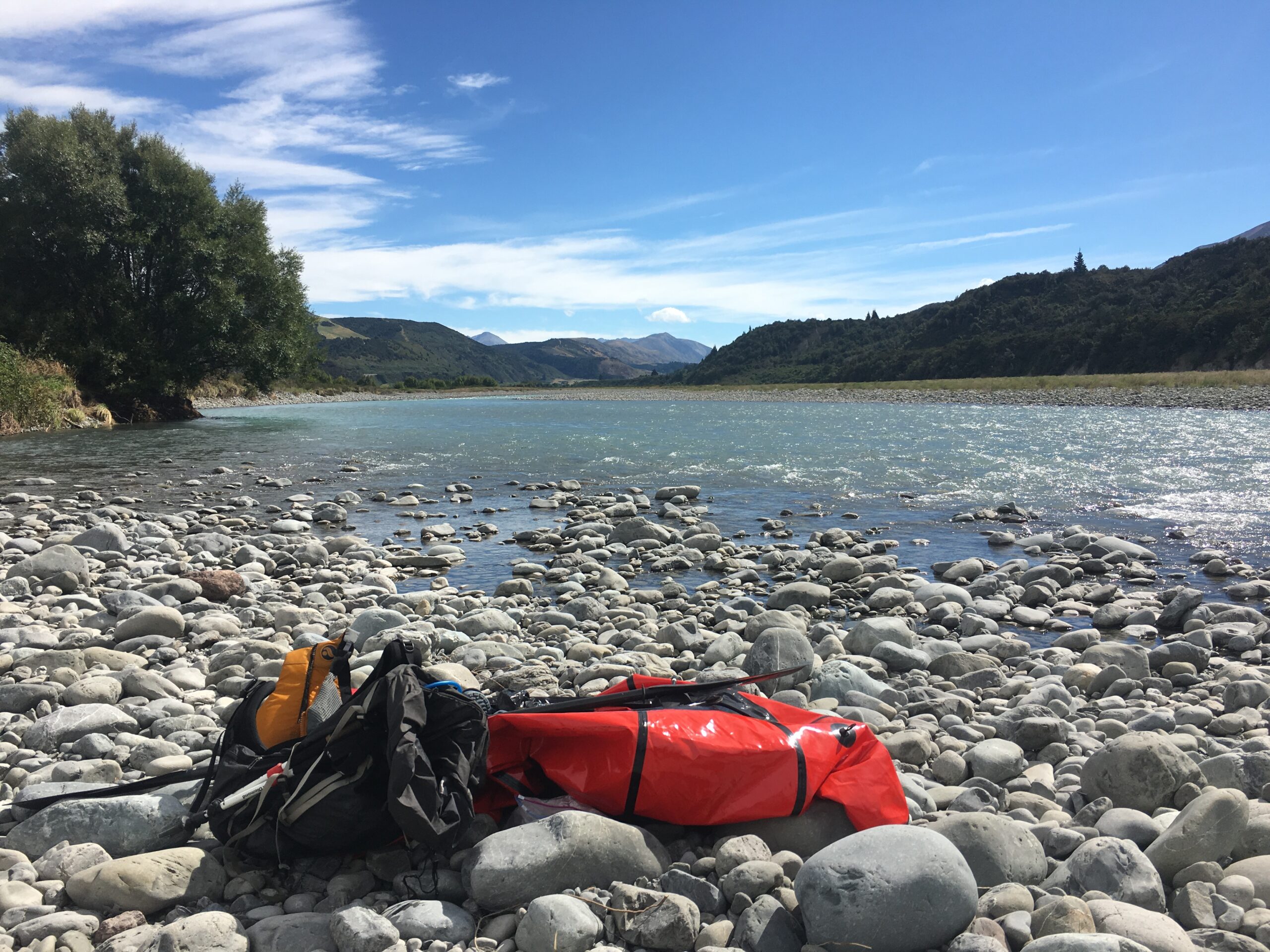
My packraft sits on the shore below the SH73 highway as I search for an access road to escape.
“Hey, are you there at your computer?” I write. “I am trapped in a river… I can’t find my way out to the highway.”
“What is trapping you?” he responds immediately. “What should I do?”
After explaining the situation, I ask him if he has time to scour Google satellite images of the area surrounding me to see if he can identify any access roads through the bush and over the bluffs to the highway.
Within 15 minutes, he has identified a brown line on the map that looks like an access road — but might be a creek — and has sent me specific GPS coordinates. The coordinates are two kilometers east of me, but I know that trying to to paddle back upriver to the unsure Gorge Stream climb will be too difficult, especially due to a strong headwind which has steadily increased over the past hour. So, I paddle down river to as close as possible to the coordinates as I can get, but when I step back onto shore, I see only thick underbrush and no obvious route way out.
I don’t have many easy ideas left. I smash myself as hard as I can through a thick wall of trees and shrubs to try to reach the exact coordinates that Brad sent me. I’ve been bushwhacking for about 10 minutes, enduring lots of scratches and scrapes, when, suddenly, the underbrush opens up to a clear 4WD access road leading up the bluff toward the highway.
Hiking up the road, I feel intensely proud that I’ve managed, on my own, to carry a boat from St. Arnaud, over Travers Saddle and Waiau Pass, and paddle the Waiau River valley, having little idea exactly what would happen. It was an authentic adventure. And, yet, I also feel acutely humbled, knowing that I might never have completed the journey had it not been for the compassion of my new German friend Jana, the wisdom of Kiwi hiking veteran Henk, and the loyalty of one of my oldest friends, Brad.
Friends in high places
Forming a fellowship while hiking over four mountain passes in New Zealand’s Arthur’s Pass National Park.
APRIL 11, 2016 — I’m standing on the side of New Zealand’s State Highway 7 after packrafting the Waiau River, completely out of food and still wearing a flotation vest — I look so Back to the Future — when a camper van pulls up next to me. I’m half expecting the driver to be a teenage bully and yell out, “Get a load of this guy’s life preserver! Dork thinks he’s gonna drown!“
Instead, a 27-year-old woman with denim shorts and long, curly hair, asks with a thick French accent, “Where you’re going?” I’m in a strange situation: though each stage of my trip normally ends at a food drop I’ve pre-arranged, I paddled longer on the Waiau River than originally planned, leaving me stranded on the highway without food. After explaining my predicament, the French woman, whose name is Sophia, drives me to nearby Hanmer Springs, where we decide to have dinner together at the excellent Coriander’s Indian restaurant. Sophia tells me that she’s a lawyer living in Paris on a sabbatical, and I, of course, explain that I’m hiking and paddling a continuous path across the island.
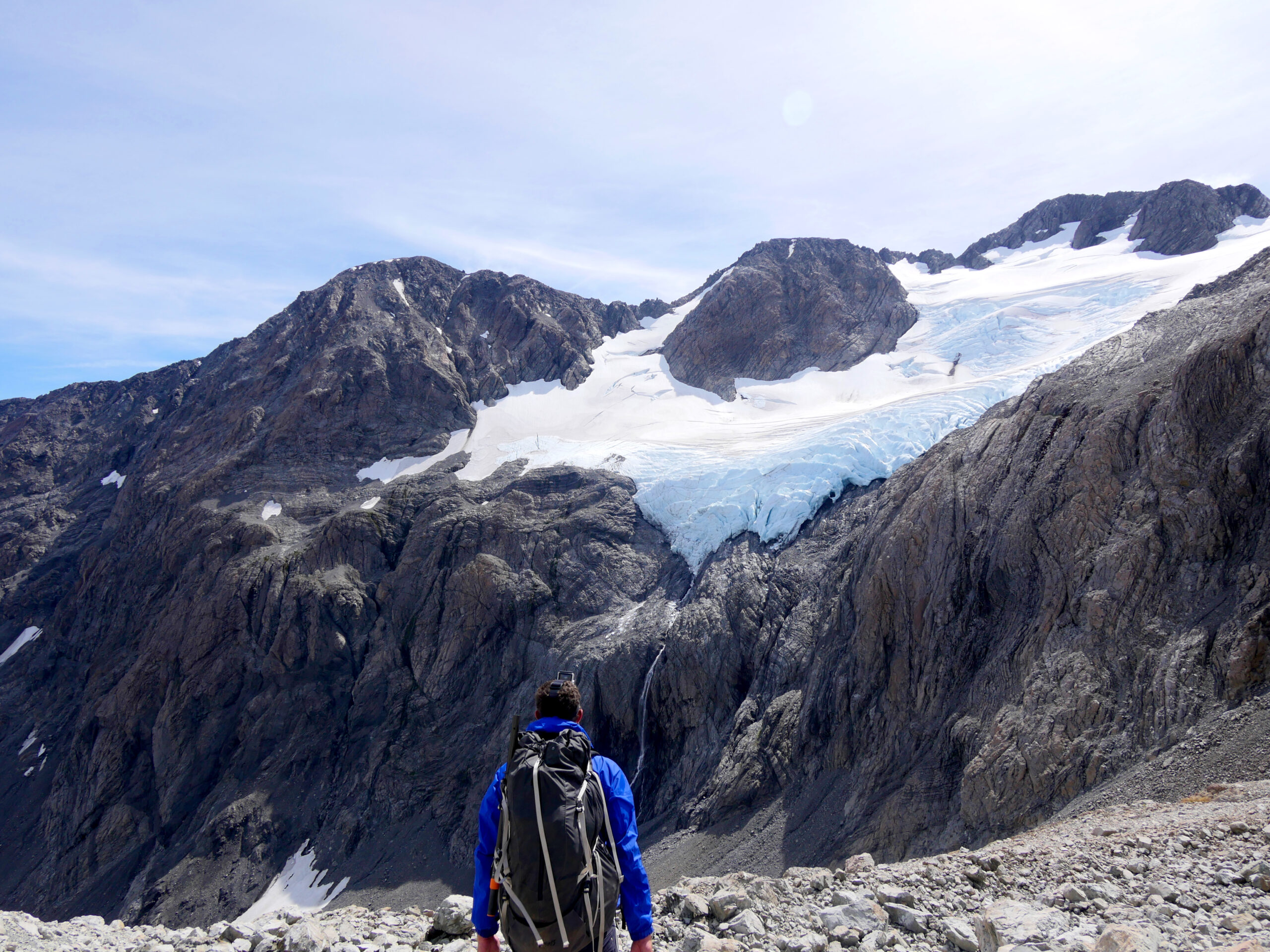
A hiker looks at Cronin Glacier above Whitehorn Pass in Arthur’s Pass National Park, New Zealand.
“What an adventure! I’ve been wanting to try hiking to some hot springs in nature,” she hints. When I tell her that I know of some hot springs adjacent to the location of my as-yet-unretrieved Stage 4 food drop, she offers to drive me to the food drop as long as we spend the rest of the day relaxing in the hot pools. I feel a pang of guilt about interrupting my hiking and paddling trip to ride in a car and retrieve my food, but I knew from the beginning of my trip that I would inevitably encounter some unforeseen logistical issues with at least one of the nine food drops on my 1,300-kilometer path. I always told myself that I’d be allowed to use motorized transportation to resolve logistical issues, as long as I returned afterward to the exact point on my route from which I departed to continue hiking and paddling.
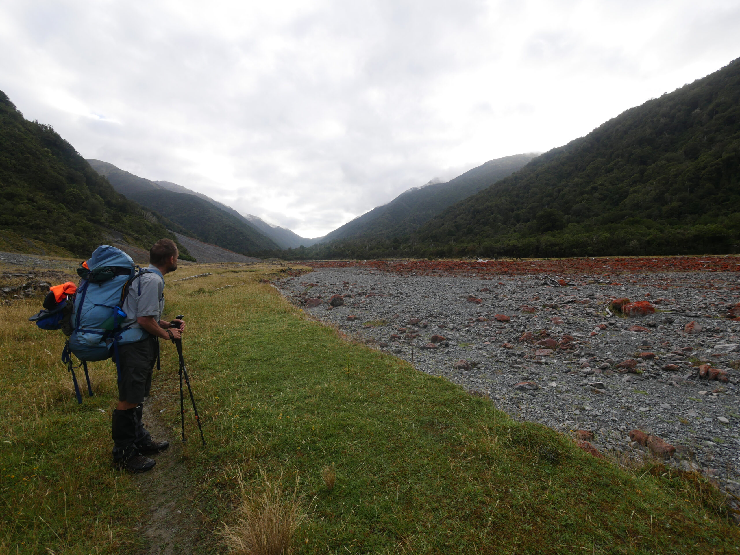
A hiker looks at rocks covered in red, Irish moss in the Taramakau River in Arthur’s Pass National Park.
The next day, after retrieving the food, Sophia and I spend a couple hours relaxing in the river, alternating between the hot springs and cold streams. While we swim, Sophia tells me that she had always hoped to work as a lawyer who championed social justice causes, but instead fell into a job after university practicing contract law. After five years working, she felt exhausted, so she decided to try broadening her experiences in New Zealand.
“I’d really like to try hiking with you, because I’ve never done backpacking like that before,” she says. “We should meet again.”
New Zealand’s evil sandflies, apparently totally indifferent to the pleasures of spending a day lounging in a river with an intelligent French woman, soon start attacking us relentlessly, forcing a speedy return to Hanmer Springs. In the evening, we drink beers and — in keeping with my trip’s ongoing, unintentional Kevin Costner theme — we watch Field of Dreams, which is airing on New Zealand’s SkyTV. For future reference: Field of Dreams, on every level, is utterly incomprehensible to even the smartest French girls.
In the morning, resupplied with a mouthwatering new stash of food, I return to my hitchhiking point and walk toward Hope-Kiwi Lodge and Harper Pass. I speed 35 kilometers through rolling farmland without difficulty, though, during the last kilometer, I manage to soak myself in mud by falling face first in a deep marsh in the dark, just minutes before reaching Hope-Kiwi. Nevertheless, at the hut, I’m happy to discover 60-year-old New Zealander Henk, one of my hiking buddies from the previous stage. He tells me that he, too, took some rest days; he visited his wife and three daughters, but, strangely, didn’t watch SkyTV’s airing of Field of Dreams with them. He says that one of his daughters is on the verge of having her second child, but he has dreamed of completing the Te Araroa trail for years.
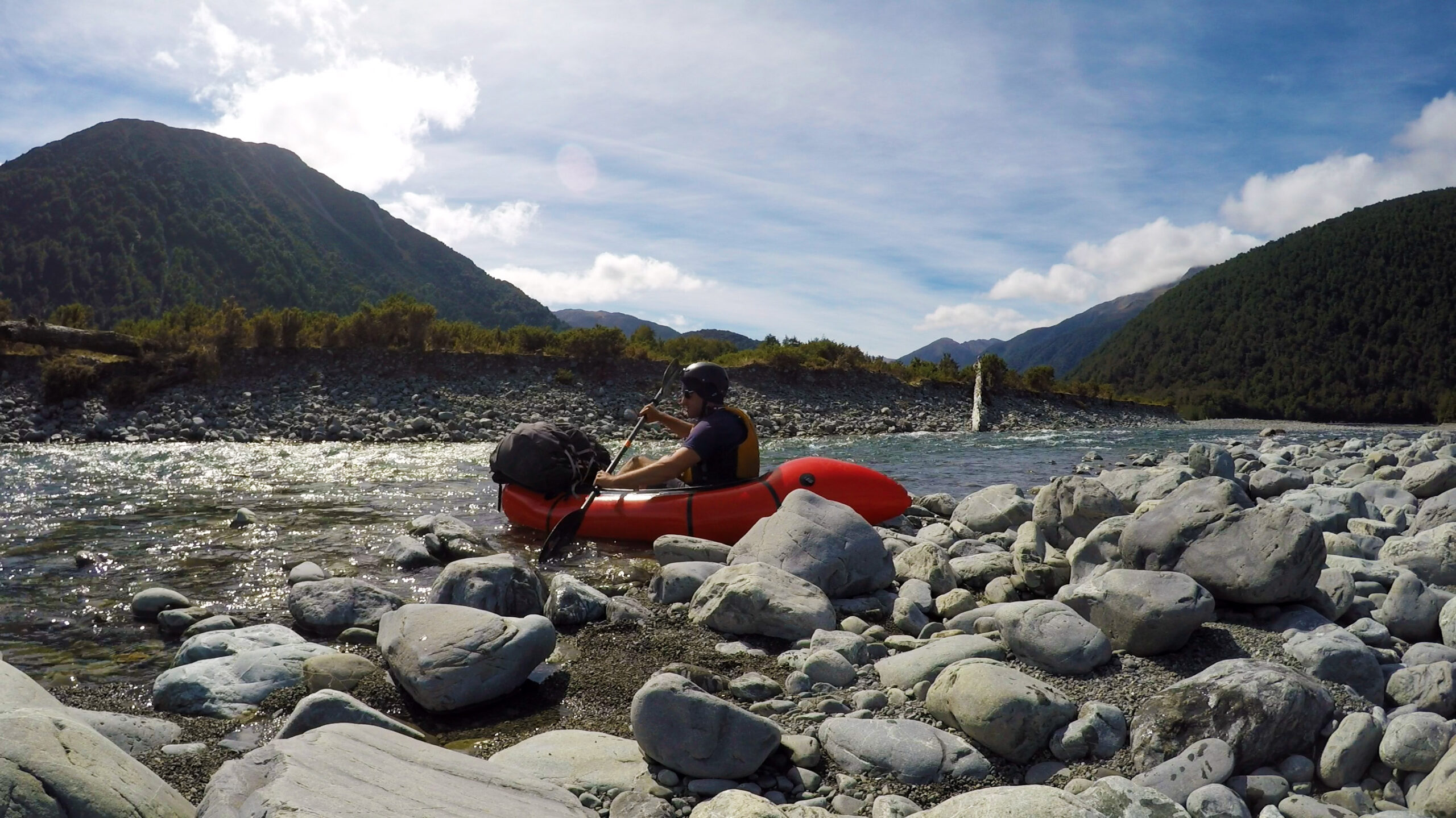
I aborted my attempt to packraft the Taramakau River after it became clear that the water level wasn’t high enough.
“There’s never a convenient time to do something like this,” he says. “As soon as the baby is born, I’ll take a break to go back and visit her. She understands.”
Henk and I travel together for the next two days, battling swarms of nasty sandflies at glorious Lake Sumner, discussing backcountry cooking strategies, and beating the long section from Hurunui Hut to Locke Stream Hut over Harper Pass in just nine hours. Slowly but surely, the two of us are getting as strong as the super-fit Abercrombies from the Richmond Range. Henk and I separate again when I start packrafting the Taramakau River, though I abort my paddle after only four kilometers, when it becomes clear that the river’s water level is too low to make reasonably-fast progress.
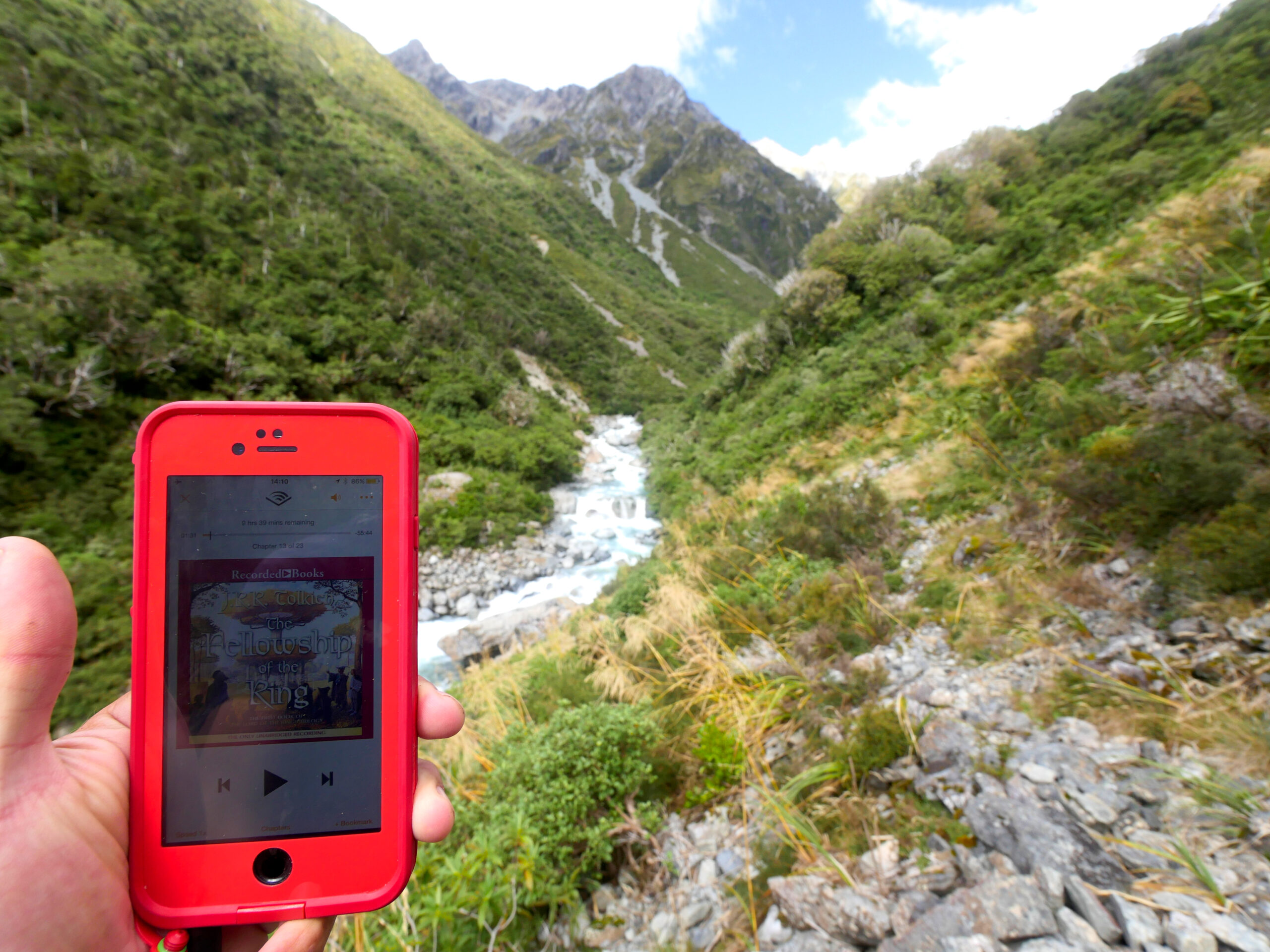
While hiking in Arthur’s Pass National Park, I listened to the Lord of the Rings audiobook using my phone.
Sixteen kilometers later, at the Otira Stagecoach Hotel, I retrieve my next food drop and meet up with my “logistics team”: two Christchurch-based friends, Brittany and Andy, whose apartment I have been using to mail unwanted gear. (They received a box with everything that Jana eliminated in the Great St. Arnaud Weight Reduction.) I’m still in awe that Brittany — a 25-year old Kiwi engineer with a fantastic sense of adventure — and I have reunited; after all, I met her and her family seven years ago, while my brother and I were hiking the Torres del Paine Circuit in Chilean Patagonia. This is our first meeting since that spectacular adventure, but our friendship still feels effortless. After she and her equally fun-loving boyfriend Andy helped validate my adventure route in Christchurch before I set off, the three of us decided to try to arrange a couple weekends to hike together.
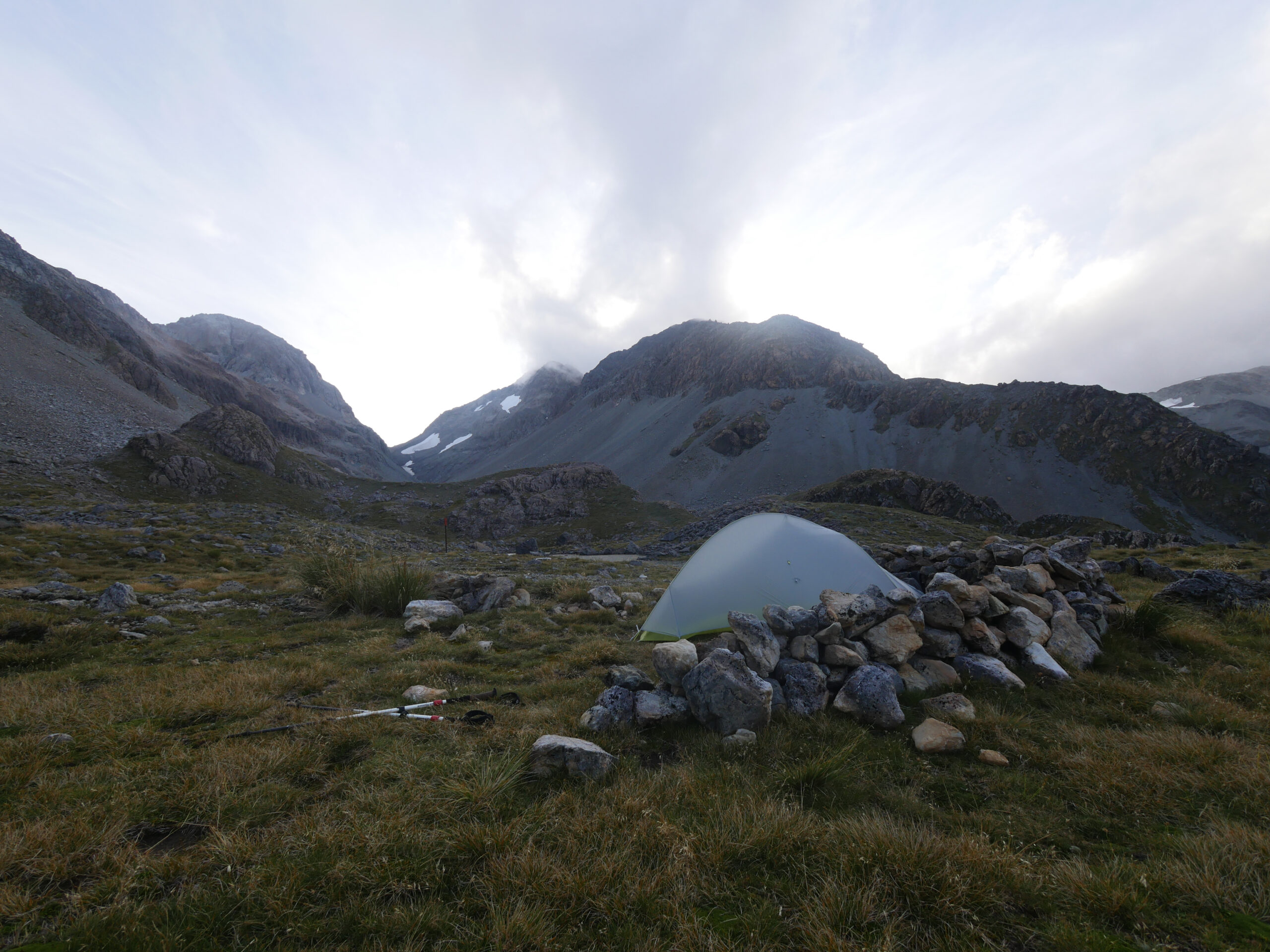
Camping behind a rock wall makes the high winds atop Harman Pass more tolerable.
“We’re going to feed you!” Brittany announces, knowing that I’ve been mostly subsisting on freeze-dried meals for the past four weeks. So, after we all take turns riding around on a penny-farthing — the hotel has a lot props lying around in service of its frontier theme — we begin the steep, 1000-meter climb to Kelly Saddle and over a plateau in the Kelly Range, carrying a kilogram of cheese, a frying pan, and pancake batter. Though this route normally gives hikers 360-degree views of the Kelly Range, it’s raining and fogged-in when we reach the huge tarn (mountain lake) at the top. The tarn is so big and our visibility is so limited that it looks like we’re standing on the shore of an ocean, stretching toward the clouds, to infinity.
“If you like fog, have we got the place for you!” Andy frowns. But, his mood lightens as he practices some ninja-like moves to show off his impressive range of mobility in newly purchased, expensive overtrou from a trip to Japan.
Brittany sighs. “Usually, we always hike in shorts here in New Zealand.”
Increasing wind gusts begin pelting rain at us, so we head down to the Taipo River valley as quickly as we can. The plateau is covered in snowgrass, which gets extremely slippery when wet, and I become the butt of Brittany and Andy’s jokes repeatedly as I slip and fall on the grass on the way down. When we reach Dillon Homestead Hut at the bottom, we encounter a pair of hunters heading out for a night hunt.
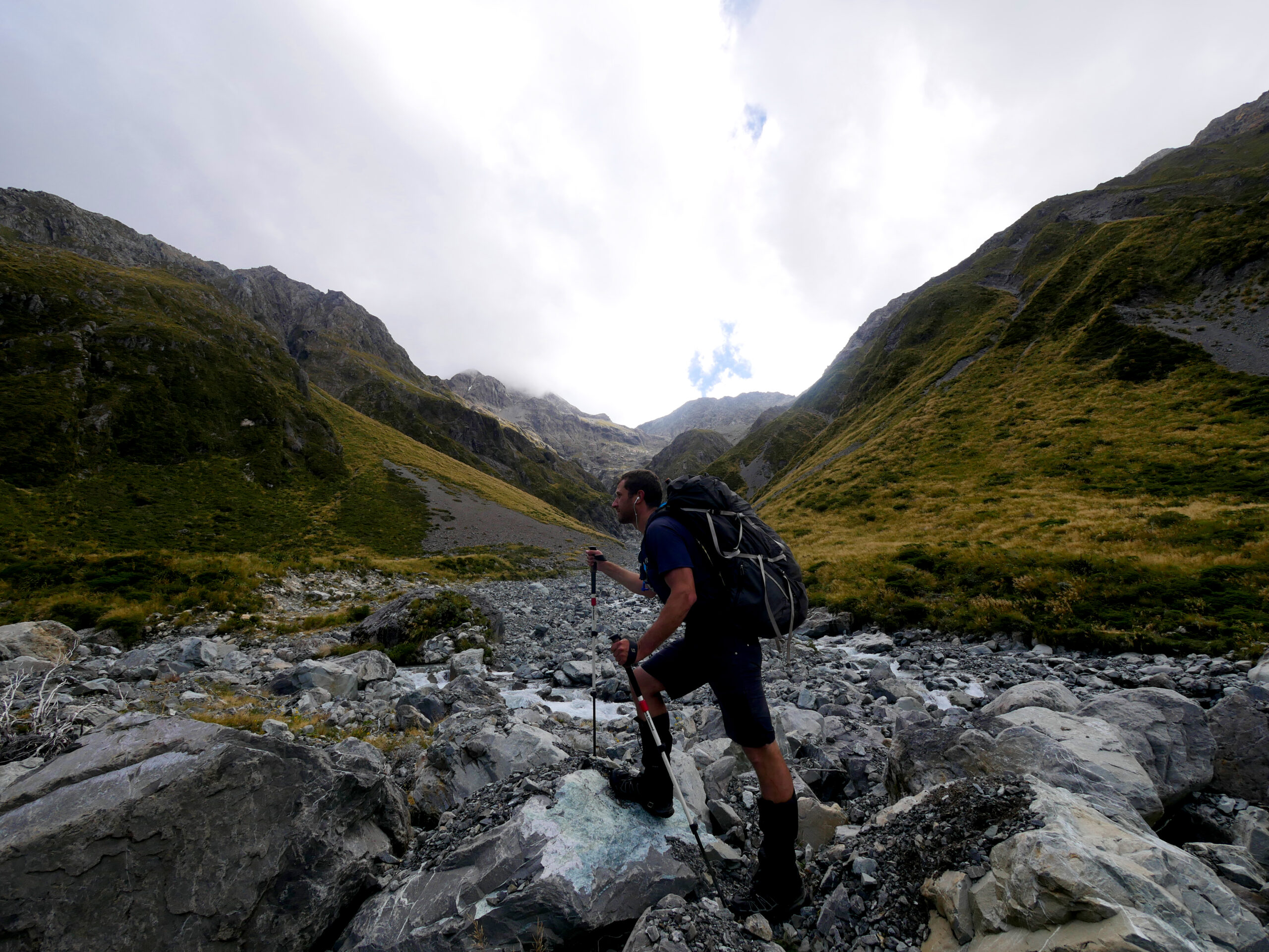
A hiker hikes up Harman Pass toward Whitehorn Pass in Arthur’s Pass National Park, New Zealand.
“Are you going to bring back dinner for us?” I smile.
“We already have some meat for you,” one of the hunters says, disappearing and returning with a couple large venison steaks. We’re all surprised, but thrilled. Andy gets to work making risotto, and I grab the frying pan and some oil to cook the venison. Soon, we’re eating a tasty risotto-venison stew, one of the best meals I’ve eaten so far in New Zealand. And, as even more proof of our fated friendship, Brittany reveals that she has brought a board game called Love Letter. The three of us play until, late in the evening, we’re too tired to keep our eyes open.
After a scrumptious pancake and bacon breakfast the next morning, Brittany, Andy, and I say goodbye; they have to go back to their jobs the next day, but we plan to hike again together later in my trip. I continue, alone, up the Taipo River valley toward Harman Pass. By now, I’ve managed to download new music to my iPhone, but, nevertheless, I still start most days by listening to the Dances with Wolves soundtrack from start to finish. It has become a tradition and the definitive musical theme for my journey.
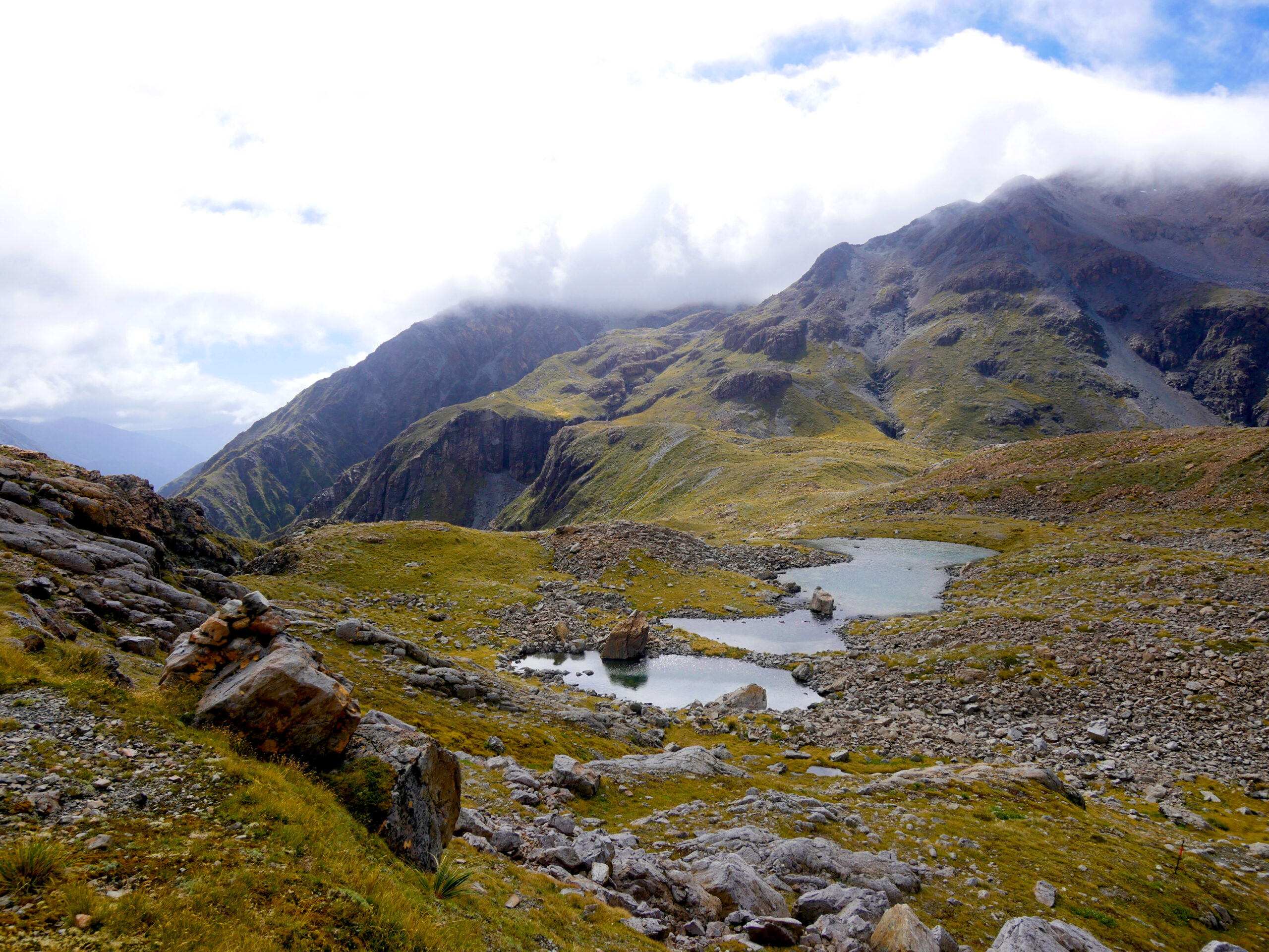
Tarns (mountain lakes) adorn the top of Harman Pass.
Afterward, I listen to an audiobook: the first volume of The Lord of the Rings, The Fellowship of the Ring. Since the book is about adventurers hiking across a nearly unconquerable landscape, it’s a perfect companion for my hike up the Taipo River, which requires route-finding around enormous boulders and a bunch of river crossings. Three-wires (New Zealand’s trademark floorless bridges) and cable cars sometimes aid the crossings, but, usually, I have to spend time searching for safe places to walk across the river. When, in the book, Frodo and his friends are nearly suffocated by the dense Old Forest and later almost drowned while trying to ford the River Bruinen, I can’t help but identify with them.
By the time I’ve walked the 18 kilometers to Julia Hut, rain is pouring down, and I end up stuck in the hut for the 36 hours with nothing to do except eat trail mix, listen to The Lord of the Rings, and dream about my late father and very-much-alive youngest sister eating peanut butter and jelly sandwiches in a kitchen together.
Eventually, the rain stops, and I climb up the 900-meters of elevation to the Ariels Tarns at the top of Harman Pass. When I reach the summit, the sky is so clear that I can see for many kilometers down the Taipo River valley and to the top of snow-covered Whitehorn Pass, my project for tomorrow. Expecting a windy evening at this high elevation, I set up my tent behind a wall of rocks and nestle into my sleeping bag, thrilled with my luck to be spending a night at the top of the pass in such excellent weather.
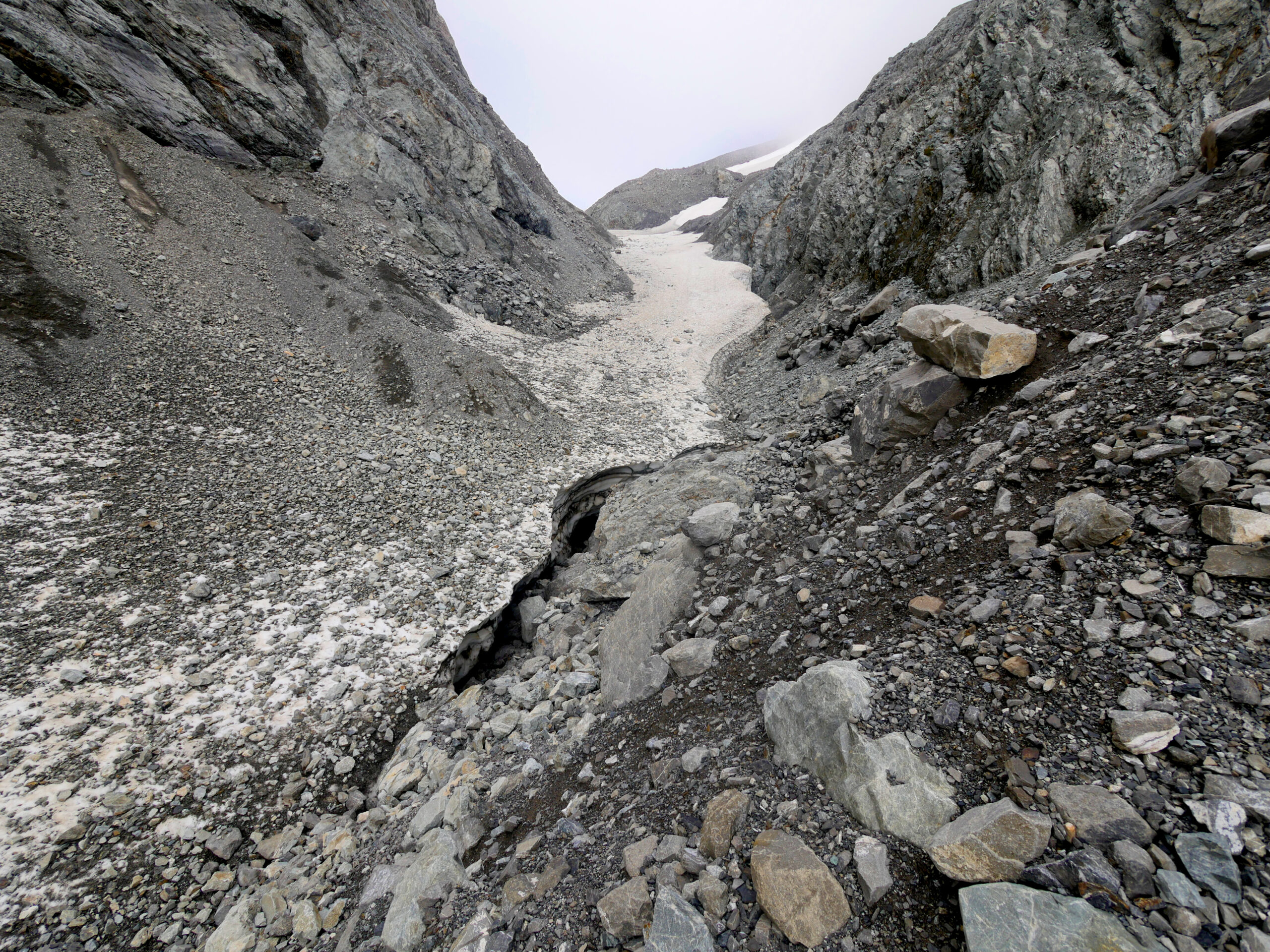
The route up Whitehorn Pass is covered in snow and ice fields. Crevasses below the melting snow are clearly visible.
At sunrise, however, I peek out of my tent and discover that fog completely covers the mountain tops, allowing less than three meters of visibility. My research on Whitehorn Pass made it clear that hikers shouldn’t attempt to cross the unmarked Pass’s permanent ice and snow fields in low visibility weather, due to the risk of hidden crevasses and drop-offs, so I fall back asleep.
“I think that’s a person in a tent right there!” I hear as I wake up, pop my head out of the tent’s rainfly, and see five people gathered around my tent door: 70-year old New Zealander Stu, his 32-year-old daughter Julia, 24-year-old Raphaël & his friend Charlotte from the French alps, and 27-year-old Alain, a Parisian who met Raphaël and Charlotte on another hike, forming a French Trio.
“I’m still lying here because there’s no visibility,” I explain, a bit embarrassed that I’m still in my tent at 11 AM.
“It’s about to clear up,” Stu says. “You should join us.” I explain that there’s no way I can break down my camp fast enough to join them, so they continue without me.
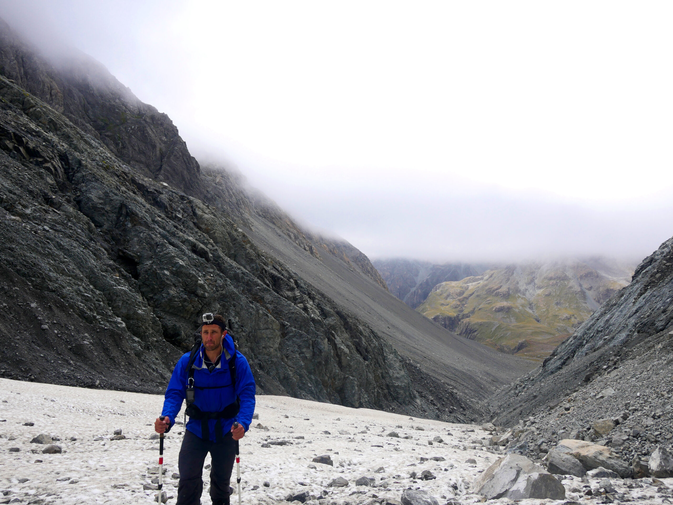
A hiker makes his way up Whitehorn Pass.
“I’ll try to catch up,” I yell. Within 45 minutes, the fog has nearly cleared, visibility is perfect, and I’m hiking over melting snow and ice fields to the top of Whitehorn Pass. I can clearly see crevasses under some of the snow shelfs, which is unnerving, since I’m not hiking with any technical mountaineering gear. Nevertheless, I continue forward, doing my best to carefully map out a path to the top that looks well-worn and traverses the thickest sections of the snow fields. Meanwhile, I coincidentally find myself listening to the part of The Lord of the Rings in which the Fellowship is foiled by snow as they attempt to cross the Misty Mountains. I couldn’t be listening to a more fitting book.
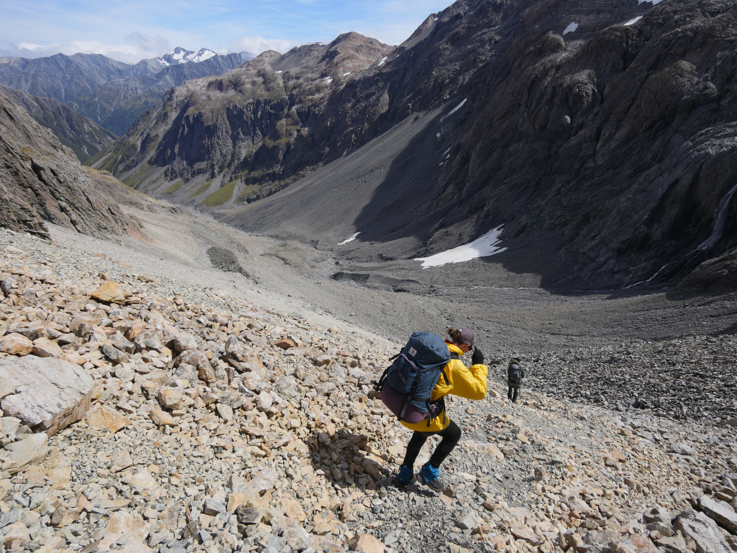
Julia and Stu climb down the west side of Whitehorn Pass in Arthur’s Pass National Park, New Zealand.
When I reach the top of Whitehorn, I find Stu and Julia, who are taking a snack break and enjoying the overhead views of Cronin Glacier before tackling the long trip down to Park Morpeth Hut. I’m astounded that 70-year-old Stu is traversing the Three Passes, one of the most challenging marked trails in New Zealand, but Julia tells me that he has been hiking in New Zealand for decades. Julia also mentions that she has been feeling ill, but she didn’t want to cancel this adventure with her dad. Kiwis are tough.
It’s a long, five-hour trek down Cronin Stream to Park Morpeth Hut, and Stu and Julia leave me behind, because, well, 70-year-old Kiwi men can hike faster than me. The route isn’t obvious; I end up crossing the river a bunch of times, climbing onto terraces to avoid sections of truck-sized boulders, and inching nervously below steep scree slopes where it’s clear that unstable, rocky mountainsides have slipped down into the water. (Advice: Stay on the river’s true left — it’s nearly always easier than the opposite side — until seeing the orange marker, 1.6 kilometers away from Park Morpeth Hut, before the river drops into a deep gorge.)
“The weather report predicts lots of rain again tomorrow,” Julia announces, when I finally reach Park Morpeth Hut. She points to a weather radio. I sigh.
But, being trapped in a 15-square-meter (150-square-foot) room with five strangers for 24 hours is the fastest way to make close friends. Raphaël, Charlotte, Alain, Julia, and I spend the day playing Hearts, and though the competition is fierce, Alain wins by an almost 30-point margin. As we play, Raphaël tells me that he came to New Zealand 18 months ago with his girlfriend, and they worked as fruit pickers to support themselves until they broke up. Raphaël decided to spend his last two months hiking the island’s most epic backpacking trips, and he recently invited Charlotte, a friend from university, to join him.
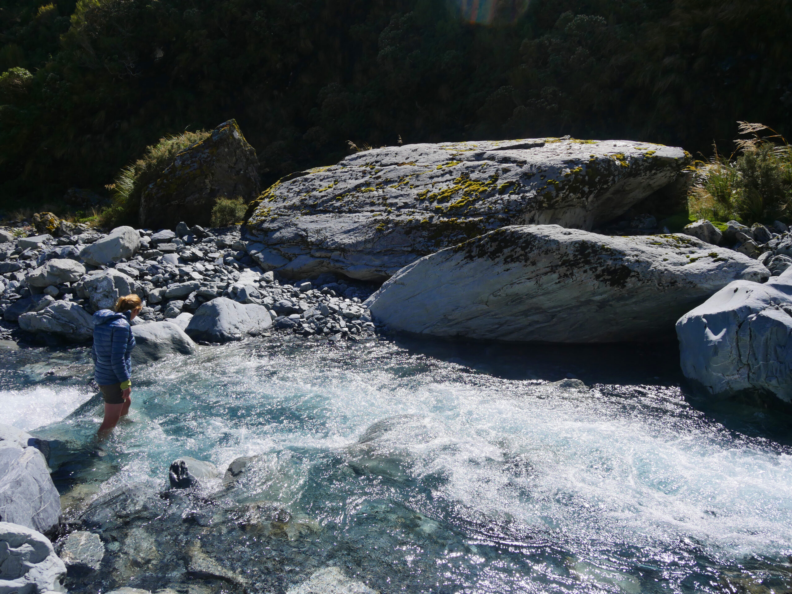
Charlotte takes a bath in Cronin Stream in the valley on the west side of Whitehorn Pass.
Raphaël and I are amazed by Stu, and we can’t stop asking him questions about New Zealand’s routes and terrain, all of which he can answer correctly and from memory, without ever referencing a topographical map. He’s like an Kiwi Oracle.
In the late afternoon, the weather clears, and we all head down to the nearby river to enjoy the sun. Charlotte, unexpectedly, runs into one of the streams and stands, waist-deep, in the freezing water.
“It feels good on my legs,” she yells.
Raphaël convinces Charlotte, Alain, and me to take a side trip up a nearby mountain to take advantage of the stellar afternoon weather. Mountain-goat-like Raphaël speeds ahead of us, so I spend much of the climb talking to Charlotte, who tells me that, in addition to having worked as a mountain guide in the Alps and a horse wrangler in Canada, she once built a raft out of milk bottles to navigate down a river. I’m impressed. I explain how I discovered and became obsessed with packrafting while in Alaska, which eventually led to my hiking and packrafting trip across New Zealand.
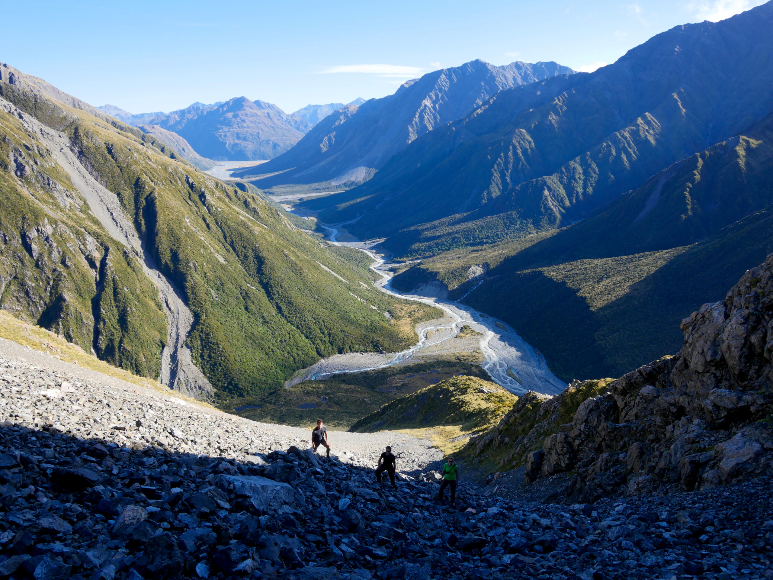
The French Trio climbs an unnamed peak near Park Morpeth Hut in Arthur’s Pass National Park, New Zealand.
“I’ve never felt like any of my trips were adventurous enough, until now,” I tell her. “I wanted to do something really exciting and grand, and now, I’m finally getting to do it. It’s amazing.”
“You’re a great adventurer,” she says. “I’ve always wanted to go to Alaska. And to California. And everywhere. I have a lot of decisions to make. I think too much when I hike.”
“’All that is gold does not glitter, and not all those who wander are lost,’” I say. “Sorry. I’ve been listening to Lord of the Rings.”
The slope we’re climbing turns out to be significantly steeper than we expected, and there’s a particularly hairy climbing section which results in me yelling expletives to anyone who will listen. But, when we reach the top, the view of the rugged, green mountains above silvery Wilberforce River valley leaves all of us speechless.
In the evening, we eat dinner together again in the hut. “I’m a little sad that the weather will be good again tomorrow,” I say. “We’ll have to leave our hut.” As I lie in my sleeping bag at night, listening to some more Lord of the Rings, I hear Samwise Gamgee’s voice: “You can trust us to stick to you through thick and thin — to the bitter end. And you can trust us to keep any secret of yours — closer than you keep it yourself. But you cannot trust us to let you face trouble alone, and go off without a word. We are your friends.” He seems to be talking about the six of us.
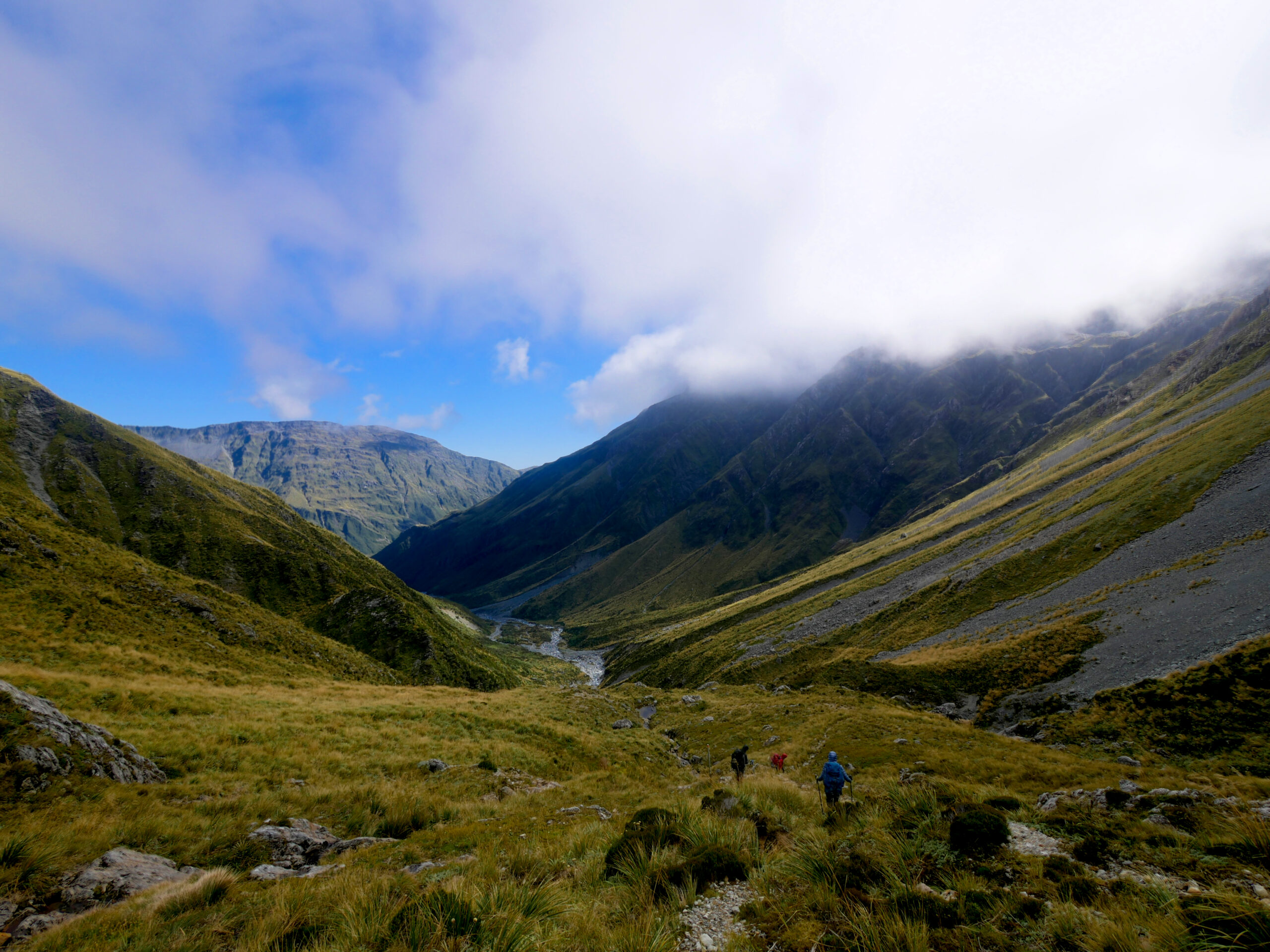
Hikers make their way down the north side of Browning Pass in Arthur’s Pass National Park.
The next day, we all head out early in the morning to tackle the steep, 800-meter climb to the top of Browning Pass. The weather isn’t great, and when we reach the top, I can feel my feet getting numb in my wet, freezing boots. We stop for only a few minutes to enjoy delicious chocolate bars wrapped in bread slices — I think it’s a French thing — before I announce that we have to keep moving immediately to avoid me needing a foot amputation. Even “great adventurers” are whiny.
After a long hike down the Styx River valley, at Harman Hut, Stu and Julia announce that they’re exhausted and have decided to finish the rest of the trip tomorrow. Sad that our six-person band must separate, the French Trio and I bid them a long farewell, using our last moments to fish Stu’s endless knowledge for information about the trails ahead. The remaining four of us continue walking down the valley, on verdant forest trails and shimmering golden prairies until reaching Grassy Flats Hut. Charmed by Charlotte’s spirit, each of us stands for awhile in the glacial Styx River in front of the hut, letting the freezing water wash over our knees.
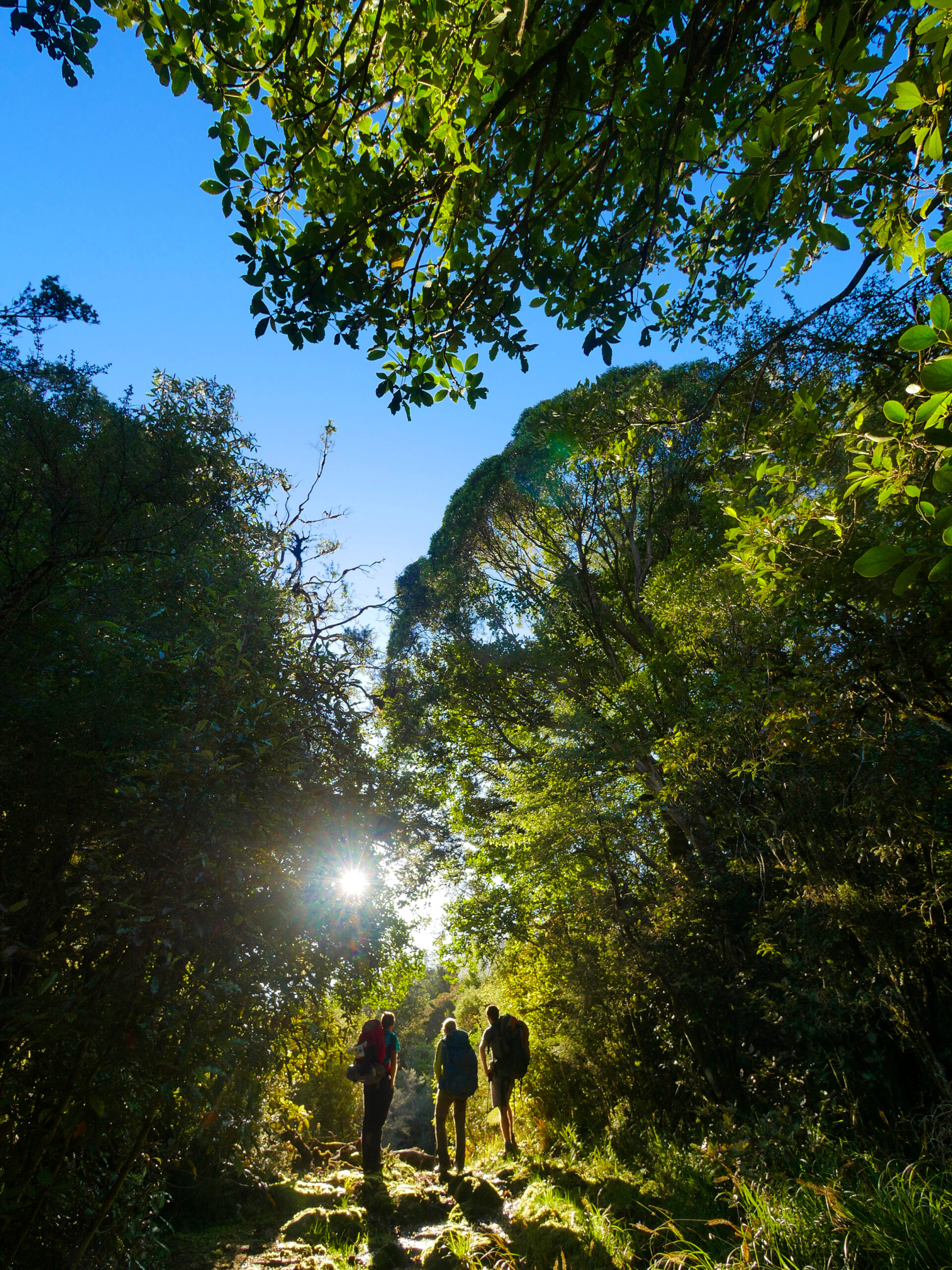
The French Trio stands under a tree canopy on the trail to Grassy Flats Hut near Kokathai, New Zealand.
On the final stretch of trail to Kokathai, Raphaël, Charlotte, and I fall behind, walking slowly because the trip has been so perfect that none of us want it to end. About 12 kilometers from the road, the three of us take a break together under a lush tree canopy. Raphaël pulls a full bottle of peanut butter out of his backpack and offers some to Charlotte and me. We’re all too exhausted and hungry to bother finding a utensil, so Charlotte digs in with her finger, pulling a huge mass of peanut butter from the jar. I do the same, and we pass the jar around, ravenously filling our mouths, covering our fingers in the goop.
Before we know it, we’ve eaten all of the peanut butter. We stare at the empty jar in silence, a little embarrassed that we’ve managed to inhale 3,000 calories of peanut butter in just a few minutes.
“We’re going to have to tell Alain about this,” Raphaël says. “He’s going to wonder what happened to the peanut butter.”
The four of us may not be carrying an evil ring to Mordor, but in just four days, we’ve become a fantastic fellowship of friends.
Hanging by a wire
My hiking and paddling trip across New Zealand’s South Island takes a miserable turn.
APRIL 18, 2016 — When the French Trio — Raphaël, Charlotte, and Alain — and I arrive in Hokitika to take a rest day, the streets are filled with teenagers and twenty-somethings wearing banana, unicorn, and Bob Marley costumes, hula skirts and leis, and long fake beards. I’m confused. Have I been in the wilderness longer than I thought? Is this the future, a place where dressing like fruit is the fashion du jour? Quickly, I realize that we’ve walked into the Wildfoods Festival, Hokitika’s biggest weekend of the year, during which the town’s 3,000-person population balloons to 10,000. Not psychologically prepared to deal with drunken partying after spending 10 quiet days in the wilderness, the French Trio and I decide to build a large bonfire on the beach by ourselves and spend the night relaxing under the stars, feeling the cool drizzling rain on our skin, munching on supermarket pizza, and recounting stories of our days hiking together.
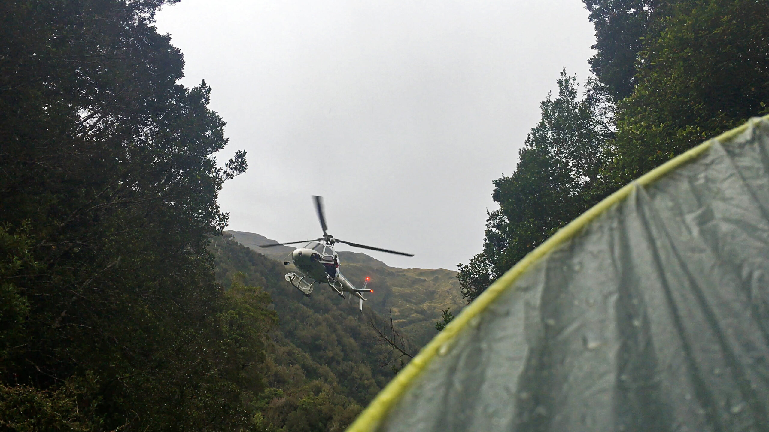
A rescue helicopter hovers above a ravine on the Toaroha Track on New Zealand’s South Island.
In the morning, Alain goes fishing at Sunset Point near the mouth of the Hokitika River and manages to catch a kahawai, an Australian salmon. I’ll be leaving the French Trio shortly to continue hiking across the island, so the three of us decide to have one last “hut night” together — in a Hokitika motel room I booked that we brand Hank Hut. In it, we drink wine, cook the fish, and bake a large, celebratory chocolate cake for our final hurrah.
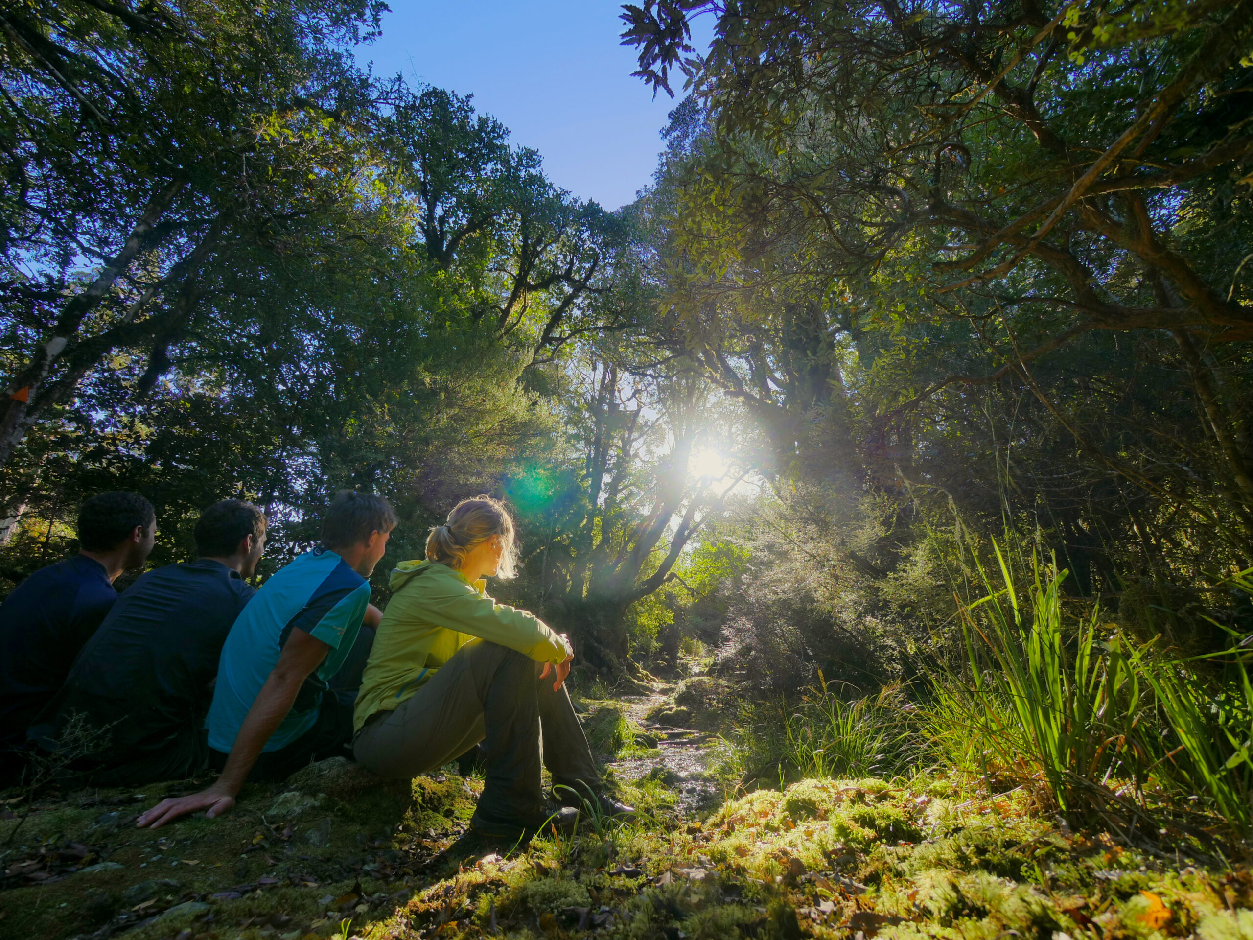
The French Trio and I sit under a tree canopy on the trail to Grassy Flats Hut near Kokathai, New Zealand.
“Be careful on the Whitcombe,” Raphaël warns me, as we eat. “It’s a real adventure.” I’ve finished nearly half of my trip across New Zealand’s South Island, but I’m feeling nervous, because I’m about to tackle what may be the single most difficult section of my adventure: a hike over rugged Whitcombe Pass, a crossing of the notoriously swift and dangerous Rakaia River, a hike over Butler Saddle, and a packraft down the Lawrence River to Erewhon, where I’ll reconnect with the Te Araroa. (The Te Araroa’s trail notes urge hikers to hitchhike around the Rakaia due to a risk of drowning when fording the river, but I plan to mitigate this concern by using my packraft to cross.)
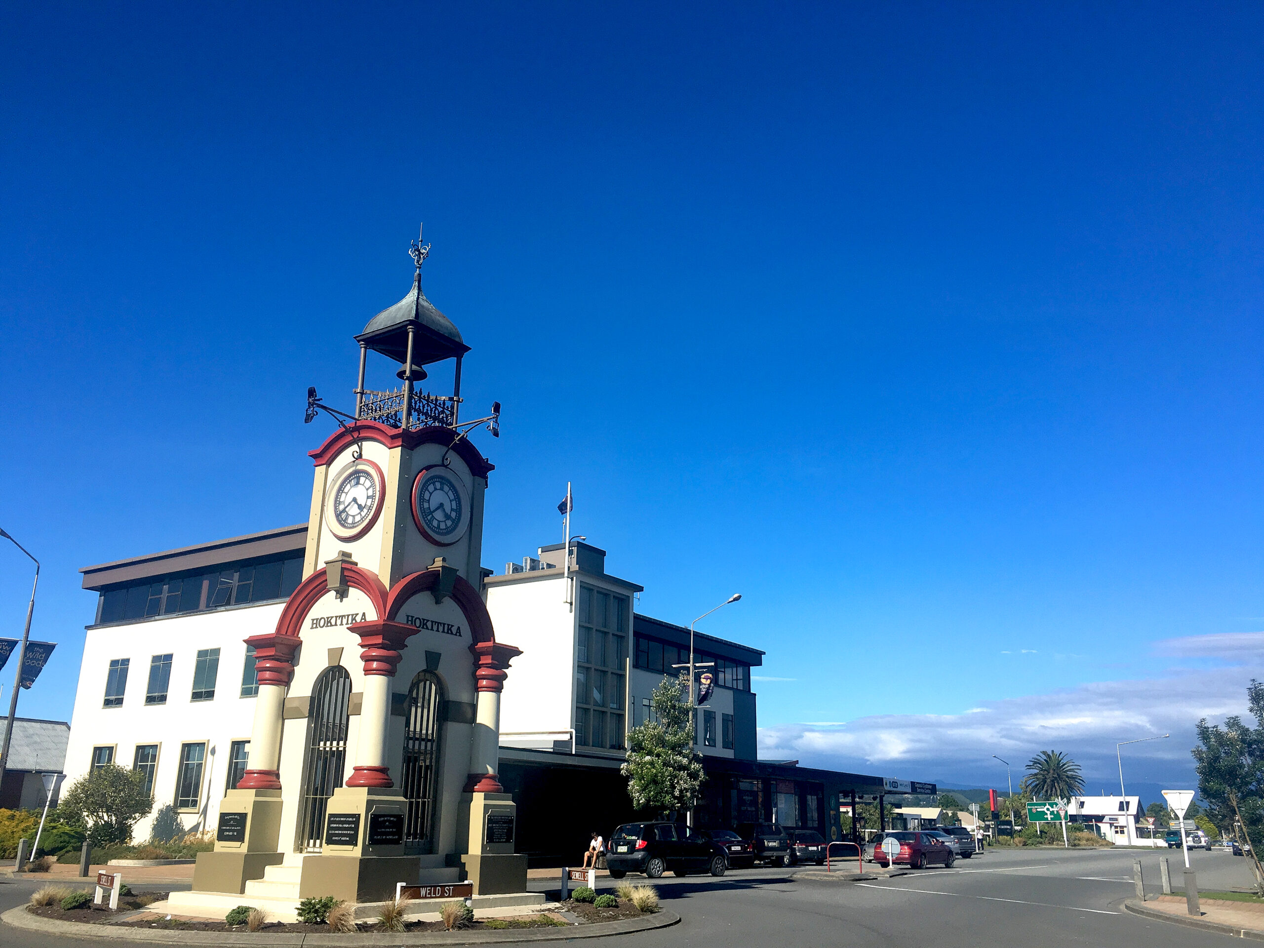
An iconic clocktower sits in the middle of Hokitika, New Zealand.
After saying goodbye to my friends, I hike up the Toaroha River toward Cedar Flat Hot Pools Hut. As usual, the trail isn’t always marked, and I spend a lot of the day bouncing in and out of the river, alternating between easy forest trail and difficult routes around boulders along the riverbed. Because I started the day late, the sun sets before I reach the hut, and it’s dark and raining heavily when it becomes clear that the only route forward requires me to walk directly into the deep, fast-moving river. This isn’t something I want to do in pitch black, and I assume that I must have missed a trail leading out of the river to the hut. Frustrated, I backtrack and carefully scan the bushline in the dark, searching for a trail marker. It takes me 30 minutes to discover a small opening in the tree line, which, thankfully, eventually leads me to a trail over a swing bridge that leads to the hut. There’s no one else inside, so I eat a quiet dinner while reading the hut’s guestbook, which shows that the hut’s last visitors left five days ago. Not many people use this trail.
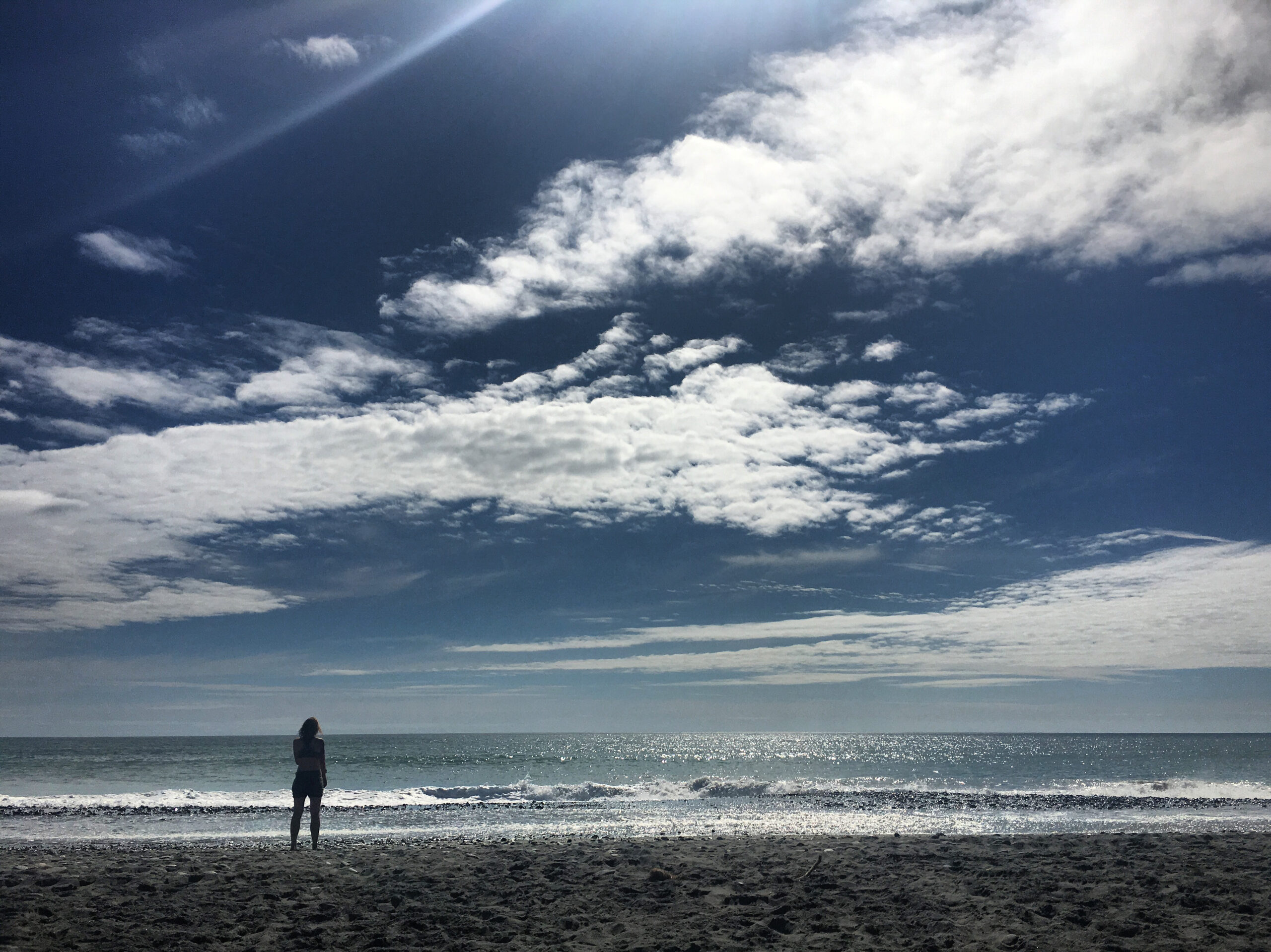
Charlotte stands on the beach in Hokitika.
I’m frustrated when I wake in the morning and it’s still raining, because I don’t want to wait out yet another bad-weather day trapped in a hut. So, when the rain clears at around 11 AM, I decide to continue up the trail. Energized, as always, by the Dances with Wolves soundtrack, I follow the track up the river valley, moving up and down through steep ravines and creek beds intersecting with the Toaroha River. To my dismay, the rain begins again after a couple hours, and the steeply descending sections of the trail, covered in snow grass, become very slippery. Quickly, I’m soaking and exhausted, trying to navigate the wet trail while having to carry a heavy, nine-day supply worth of food. Not even Dances with Wolves manages to lift my mood.
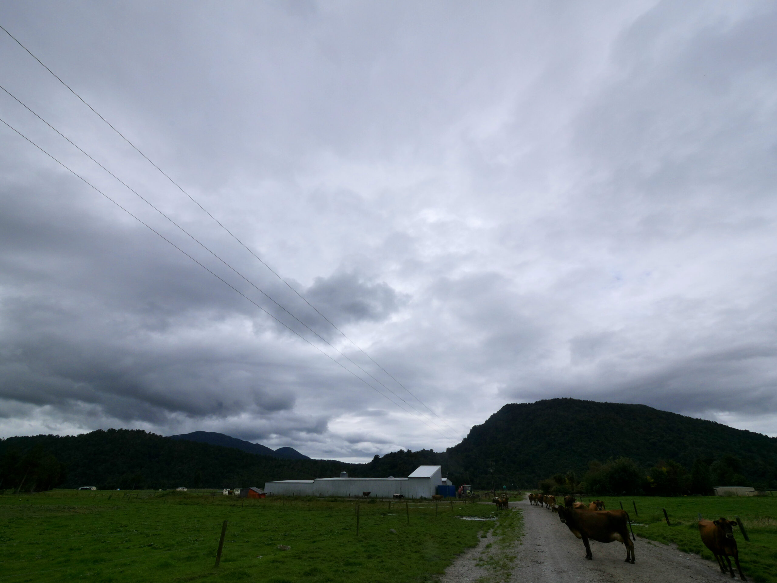
Starting on the Toaroha Track requires walking down a dirt-road easement through Middlebranch Farm near Hokitika, New Zealand.
I’m about a two-hour walk from the next hut, Top Toaroha, when I find myself standing at the top of a particularly steep drop-off, descending down into a creek bed below. I don’t see an obvious trail leading down the cliff, but it’s not uncommon in New Zealand for landslides to have washed away sheer trail sections. I spot an orange trail marker on the ravine’s opposite side, so I know that the intended route is to climb down into the ravine and then back out.
But, when I take my first step down, the snow grass is more slippery than I expect. Suddenly, I’m sliding at a dangerous speed, totally out of control, down the embankment. When I reach the bottom, my left foot and leg smash into the ground. I hear an alien popping sound. Disoriented, it takes me some moments to realize that I’m lying on the ground, at the bottom of the cliff, in the rain.
My ankle hurts, though I suspect that it’s only a bad sprain. I decide to try to escape the freezing rain by walking on to the next hut, where I’ll be able to better evaluate the severity of my ankle injury. However, when I stand up and try to take a single step, I’m suddenly screaming. The pain is excruciating. I fall immediately back to the ground.
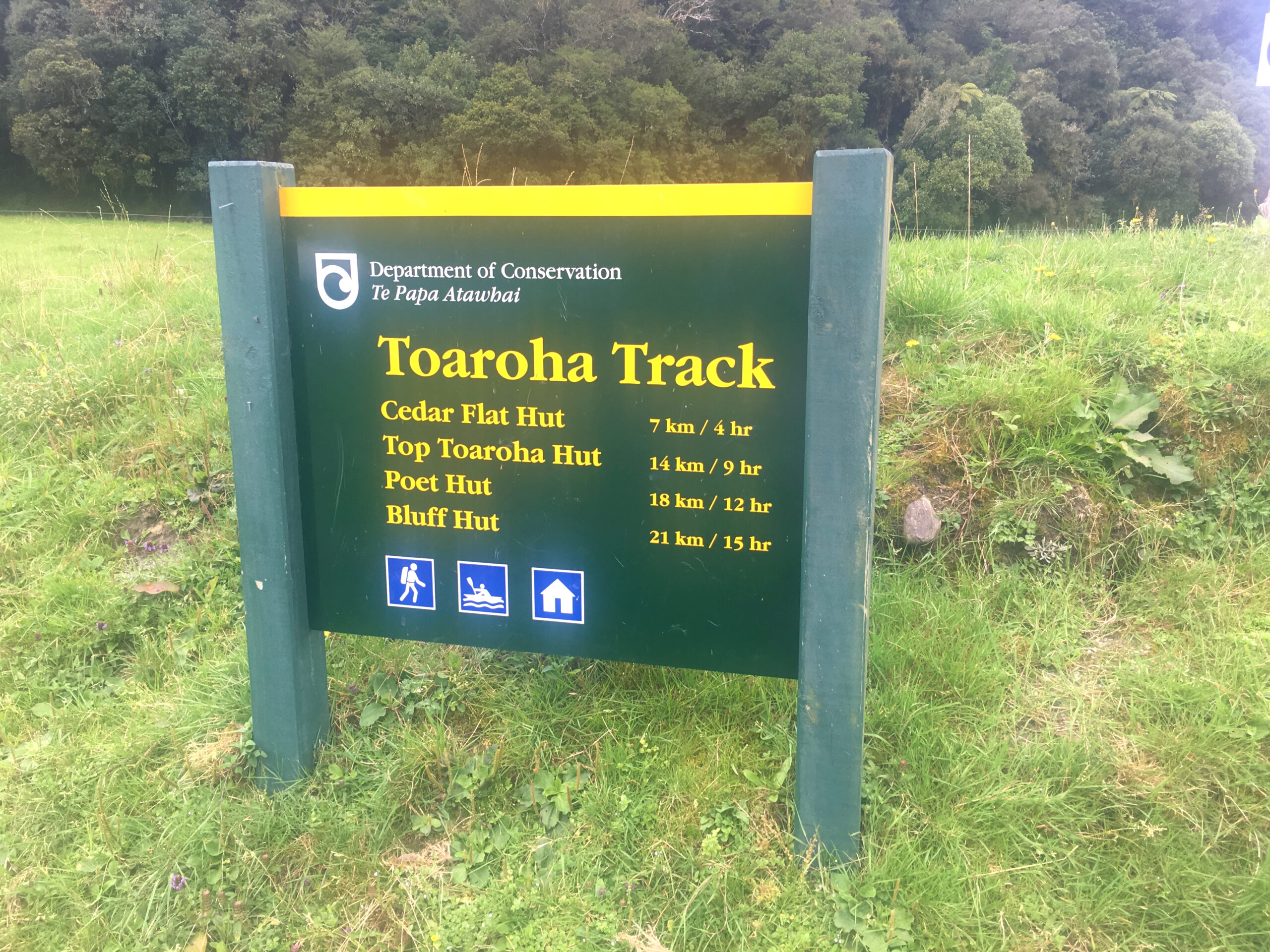
A sign providers hikers with time estimates for the Toaroha Track.
“Fuck!” I yell to no one. “I can’t walk! Oh, shit!”
For ten minutes, not knowing what to do, I sit in the rain, with my sopping clothes sticking to my skin. I’m getting very cold, very fast. I’m baffled that I’ve had an accident like this on a trail that’s not particularly hazardous; I’m still days away from reaching the more dangerous Whitcombe Pass. Nevertheless, this area doesn’t have mobile phone service, and I know from the previous hut’s guestbook that it will probably take at least five days for another hiker to wander by me on this rarely-used trail.
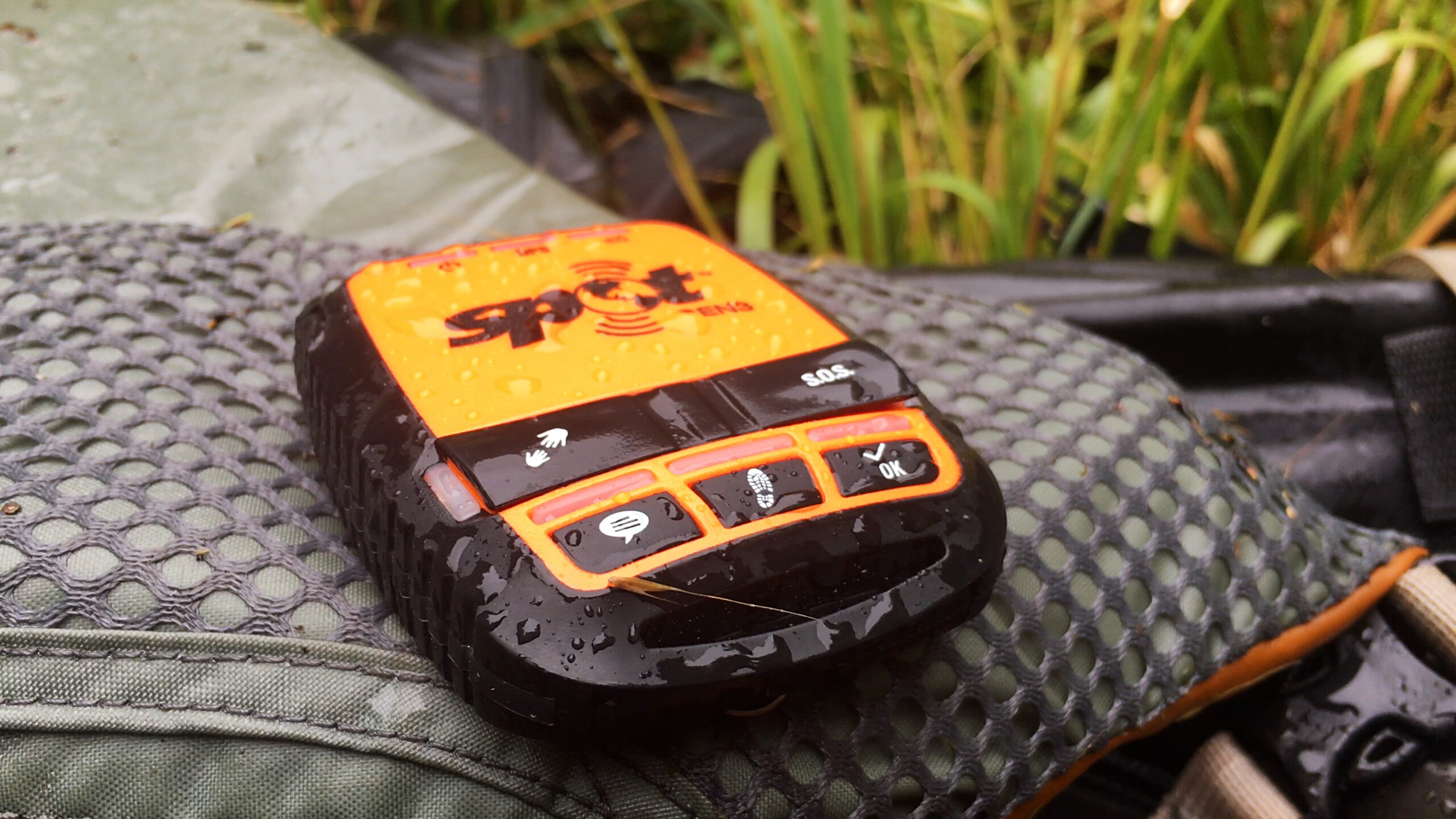
My SPOT Gen3 device sits in the rain while transmitting an SOS signal to the Globalstar satellite network.
Suddenly, I can see the next three miserable months of my life in my imagination: hospitals, doctors, surgeries, and eventually, being stuck, not able to hike, in my Los Angeles apartment. I’m angry and sad that I’m not going to be able to finish my hiking and paddling dream trip across New Zealand’s South Island — one of the greatest wilderness adventures of my life. And, one of the worst parts is that I know I’ll never be able to reunite with my favorite people still on the island: German Te Araroa hikers Jana, Carsten, Lena, and Neil; French lawyer, Sophia; 60-year-old, New Zealander Henk; my hilarious logistics team, Kiwis Brittany and Andy; the super-tough, Kiwi, father-daughter combo Stu and Julia; and, of course, the French Trio: Raphaël, Charlotte, and Alain.
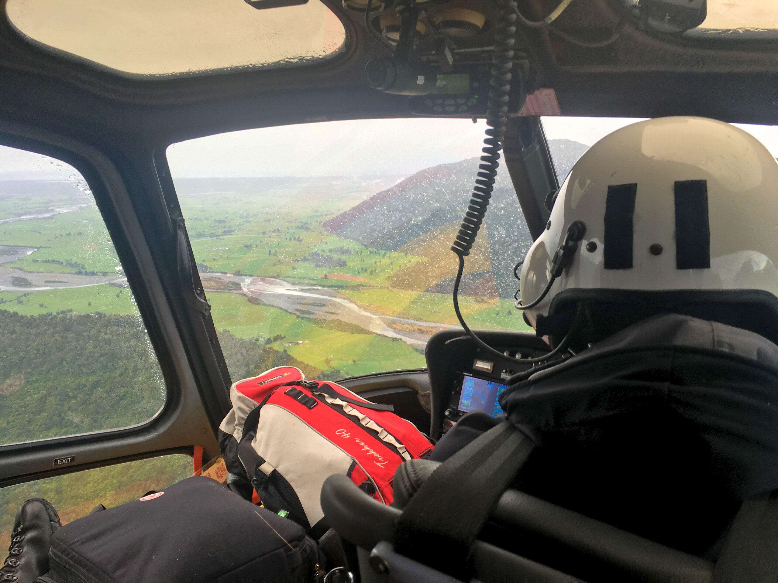
Breaking your leg is the least fun way to get an aerial tour of New Zealand.
I don’t want to, but I know I don’t have much of a choice. I push the SOS button on my SPOT Gen3, a satellite-based emergency messenger, designed to send daily check-in messages and location updates — my mom’s favorite feature — and summon a search & rescue team in the case of an emergency.
I purchased the SPOT device because it’s one of the least expensive emergency messengers, but I have been aware from the start of my trip that it only works with a clear view of a Globalstar satellite in the sky. I also know that it’s a one-way-only communication device. Even though I have pressed the SOS button, I have no way of knowing whether my call for help has been successfully transmitted. At the bottom of this ravine, surrounded by high cliffs with substantial tree cover overhead, I don’t like my chances. Furthermore, if local rescuers receive my message, I have no idea how they will respond. Will they hike here from the nearest road? That could take two days. Will they send a helicopter? There’s nowhere nearby that I can see where a pilot could land a chopper; rescuers may need to land somewhere far away and hike for hours to reach me.
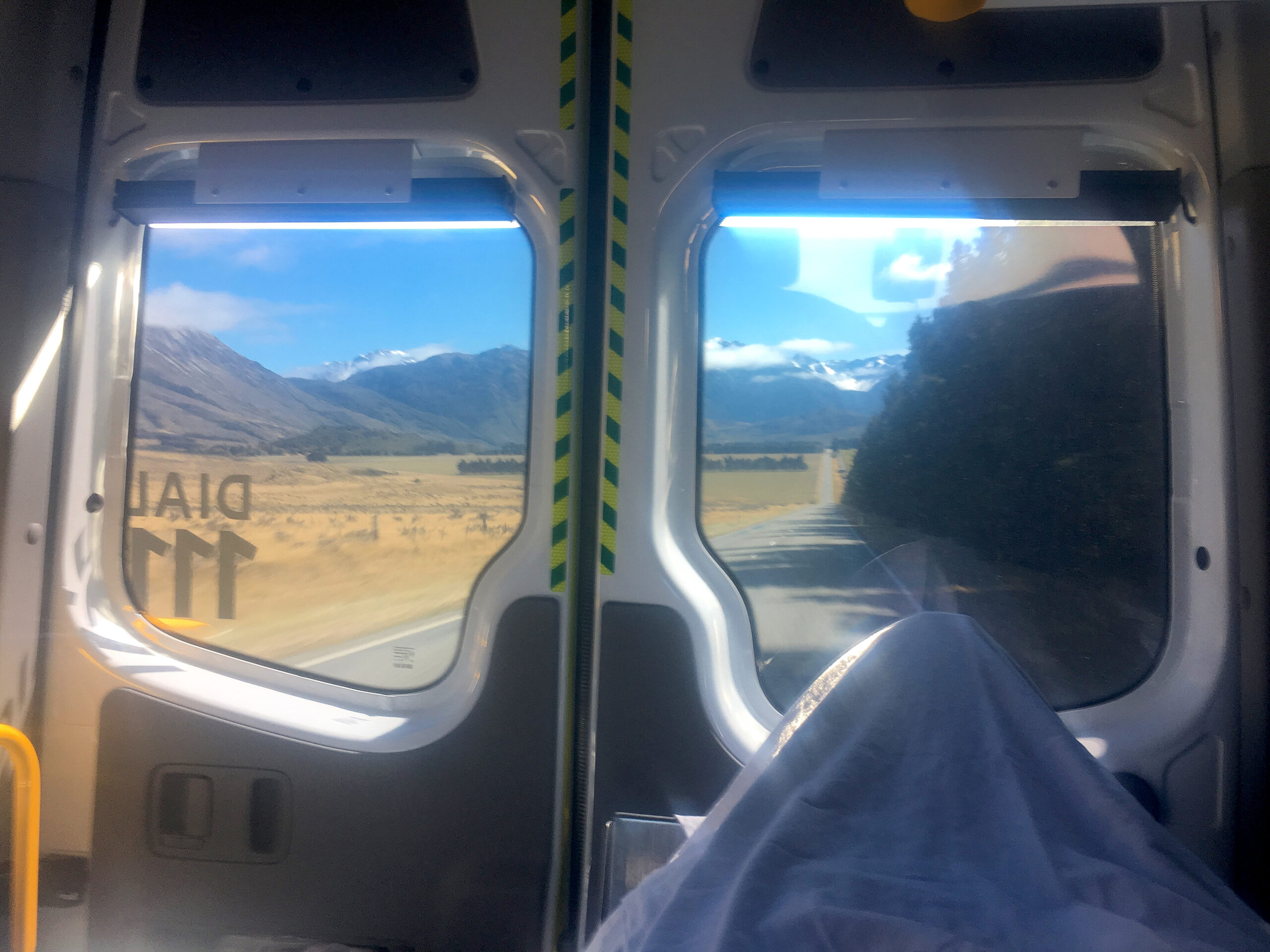
The view of New Zealand’s Lewis Pass Road from the back of an ambulance is dazzling.
I decide to prepare myself psychologically for a three-to-five-day stay at the bottom of the ravine. I set up my tent — by hopping around on one leg — on top of some moss and fallen trees. The ground around me is not flat, and maneuvering with only one working leg is nearly impossible, but I manage to construct the tent well enough that I can get out of the rain, inflate my air mattress, pull out my sleeping bag, strip off my wet clothing, and get into my sleeping bag to dry and warm up.
Once inside, after devouring some chocolate peanut butter cups and trail mix, I make plans for the moment the rain stops. I need water, so I’ll crawl to the nearby creek, fill up my CamelBak, and drag it back to my tent. I suspect that my SPOT won’t be able to successfully transmit my SOS message, and I’m also afraid that passing hikers or rescuers won’t be able to see me in this creek bed. So, I’ll inflate my bright red packraft as a visible signal and crawl out of the ravine to higher ground, dragging the raft and messenger device with me. Finally, I’ll make a campfire.
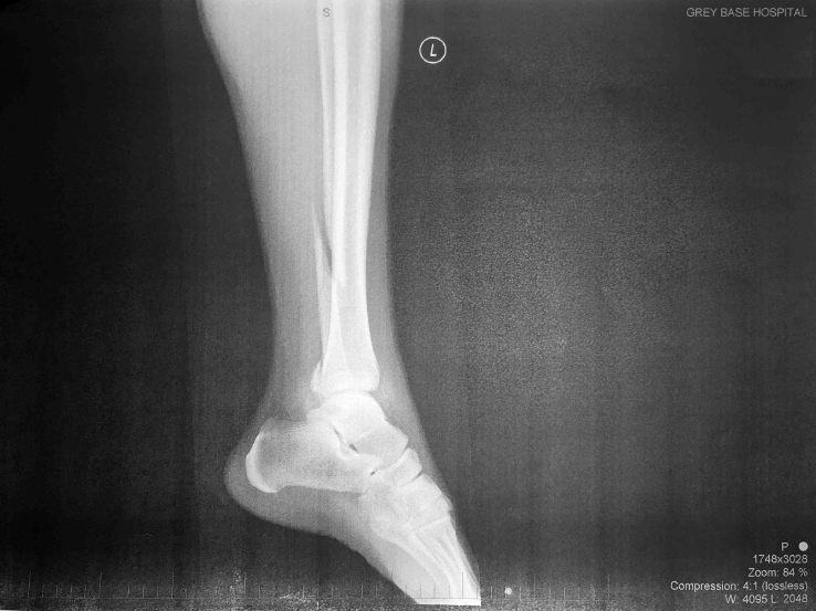
An x-ray from the Greymouth Hospital in New Zealand shows my leg, with a fibia spiral fracture.
I’m just about to crawl to the creek for water, when I hear the sound of a helicopter rotor. That’s impossible, I think. It’s been just over an hour since I pushed the SOS button! I look outside the tent just in time to see a helicopter whiz by above the Toaroha River. Maybe it was just a sightseeing flight, I think. But, 20 minutes later, the helicopter returns, flies over “my” ravine, and slowly lowers, until it’s hovering 15 meters above me. The rotor wash is like a tornado, and the only thing stopping my tent from being ripped away is the weight of me in it. Suddenly, a woman attached to a cable descends from the hovering helicopter and lands next to me.
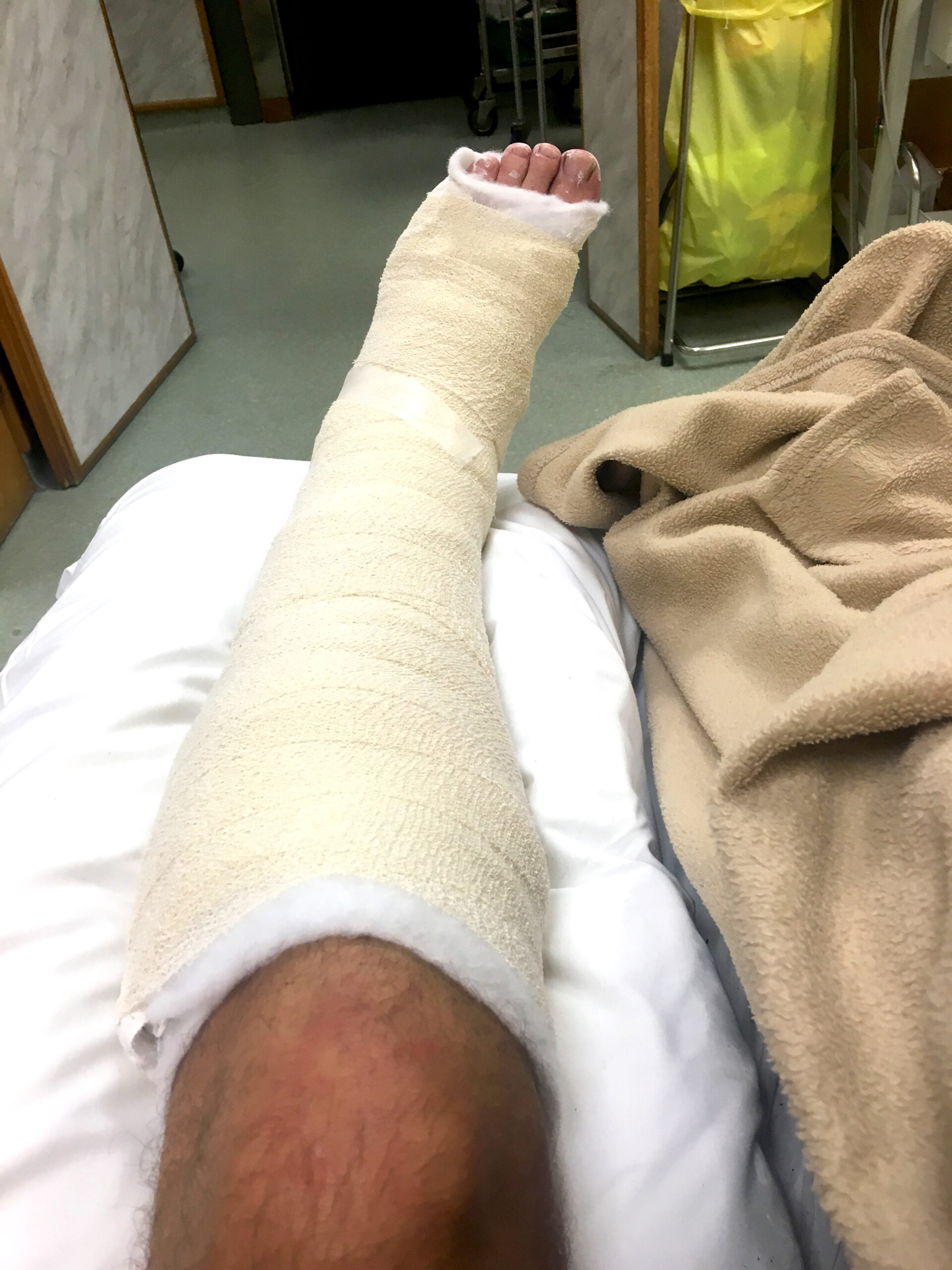
My leg sits in a cast in the hospital in Greymouth, New Zealand.
“Hi, how you going?” she asks. Even in an emergency, the New Zealand accent is charming.
“I’m so embarrassed,” I say. “But, I think I’ve broken my leg.”
As she looks at my leg, the woman tells me that her name is Sarah. She says that she’s a helicopter paramedic who descends from helicopters into the New Zealand wilderness on a daily basis.
“Well, it certainly looks like you smashed it pretty good.” She attaches a foam splint to my lower leg. “It looks deformed. Good on ya for pushing button. You did the right thing.”
After we pack my tent and other gear back into my backpack, the helicopter returns, hovering above us again. Sarah attaches my backpack to a wire that pulls it into the helicopter. Then, she attaches a chest harness and the wire to me.
“When you’re in the air, lean back,” she warns. “If you start spinning, you can use your arms as rudders to control the spin.”
Slowly, the hovering helicopter’s winch starts pulling me up.
I’m hanging on a cable, 15 meters in the air, from a helicopter above a river valley in the New Zealand wilderness. I feel myself spinning, so I lean back and stretch out my arms. I sigh. I can’t seem to control the spin.
How to Packraft New Zealand’s Marlborough Sounds
OVERVIEW: The Marlborough Sounds are an extensive network of sea-drowned valleys at the north end of the South Island of New Zealand. There are four major sounds: the Queen Charlotte Sound, the Pelorus Sound, the Kenepuru Sound, and the Mahau Sound. Picton serves at the primary port on the mainland for accessing the Queen Charlotte Sound and allows access to the South Island’s railways and highways.
LOGISTICS: Three primary water taxi companies — Beachcomber Cruises, Cougar Line Water Taxi, and Picton Water Taxis — take travelers from Picton to Ship Cove. Most of the companies have a morning and afternoon departure, though the companies can make special arrangements upon request to any destination throughout the Sounds. Water is available at Ship Cove and at all Department of Conservation campsites, though sometimes the water must be treated or boiled.
CAMPSITES: New Zealand’s Department of Conservation’s excellent web site lists all available campsites in the Marlborough Sounds. For this trip, I stayed at Ratimera Bay, Kumutoto Bay, and Mistletoe Bay. Though Freedom Camping is available in parts of the Marlborough Sound, be aware that some land is privately owned or protected and much of the terrain is quite steep which can make finding a place to put a tent difficult.
DANGERS: Wind conditions in Queen Charlotte and Mahau Sound are very unpredictable and can be dangerous. Visit WindGURU to find out what conditions will be in advance. Weka birds mainly eat invertebrates and fruit, but they will also take inedible items to the nearest cover to investigate them. It is easiest to simply watch where the birds go and then retrieve your stolen items later.
ROUTE: Here is the route and schedule that I followed:
- DAY 1: Ship Cove to Ratimera Bay Campsite paddle (22 km, 6 hours)
- DAY 2: Ratimera Bay to Kumutoto Bay Campsite paddle (11.4 km, 5 hours — very windy)
- DAY 3: Kumutoto Bay to Mistletoe Bay Campsite paddle (15 km, 5 hours)
- DAY 4: Mistletoe Bay to Ohinetaha Bay hike (8.2 km, 3 hours) followed by a paddle to Havelock (16.7 km, 5 hours)
View the route below or download the Without Baggage Marlborough Sounds Packraft GPS track in GPX or KML format.
How to Hike New Zealand’s Richmond Range
OVERVIEW: New Zealand’s Mount Richmond Forest Park offers beautiful scenery along the Pelorus River Track and outstanding views over the Waimea Plains and Inland Kaikoura Mountain Ranges on the challenging Richmond Alpine Track above the bushline.
LOGISTICS: The Te Araroa is New Zealand’s 3,000 km hiking route stretching from Cape Reinga on New Zealand’s North Island to Bluff on New Zealand’s South Island. It was officially opened on December 3, 2011, and is widely considered the most physically challenging long-distance thru-hike in the world. If you’re hiking the Te Araroa, you’ll hike through the Richmond Range on the South Island. But, if you’re not, you can drive, hitchhike, or take a shuttle bus to the start of the Pelorus Track by taking Nelson-Blenheim Road (State Highway 6), turning onto Maungatapu Road at Pelorus Bridge Scenic Reserve, and driving 13 km to the road end. Eventually, this track connects to the difficult Richmond Alpine Track. Good luck. It’s also possible to start make this trip shorter by getting a ride to the road end near Hacket Hut, thus eliminating the first three to four days of the trip.
DANGERS: The Richmond Alpine part of this route is considered the most challenging part of the entire Te Araroa. Only very fit hikers should attempt this trip. Some high and exposed parts of the trail, which is often marked only with orange poles, should only be attempted in good-visibility weather to avoid getting lost or falling from a steep, unforeseen cliff. Bring at least two extra days worth of food in case bad weather or exhaustion forces you to spend extra rest time.
ROUTE: Here is the route and schedule that I followed:
- DAY 1: Havelock to Pelorus Bridge (22 km, 178 m gain, 6 hours)
- DAY 2: To Captain Creek Hut (24.4 km, 717 m gain, 10 hours)
- DAY 3: To Rocks Hut (10.4 km, 1002 m gain, 5 hours)
- DAY 4: To Hacket Hut (14.5 km, 524 m gain, 6 hours)
- DAY 5: To Slaty Hut (11.8 km, 1,502 m gain, 6.5 hours)
- DAY 6: To Mt Rintoul Hut (13.7 km, 1,240 m gain, 10 hours)
- DAY 7: To Mid Wairoa Hut (15.9 km, 796 m gain, 8.5 hours)
- DAY 8: To Hunters Hut (19.4 km, 1,484 m gain, 9.5 hours)
- DAY 9: To Red Hills Hut (19.1 km, 1,277 m gain, 9 hours)
- DAY 10: To St. Arnaud (17.2 km, 255 m gain, 3.5 hours)
View the route below or download the Without Baggage Richmond Range GPS track in GPX or KML format.
How to Hike Over Waiau Pass and Packraft the Waiau River
OVERVIEW: New Zealand’s Travers-Sabine Circuit and the route over Waiau Pass is one of the most spectacular highlights of the Te Araroa. The route includes tranquil beech forests, fields of waving tussocks, 2000-meter high mountains and crystal rushing streams. Blue Lake is the clearest natural body of fresh water known to man, and Lake Constance is stunningly beautiful, set in a dramatic alpine landscape. The track over Waiau Pass is steep and rocky and drops steeply as it descends to the pastoral Waiau River valley and St. James Conservation Area. The Waiau River makes for a fantastic packrafting trip with beautiful mountain scenery, thrilling whitewater runs, and excellent camping on flat grass sheltered by matagouri trees, surrounded by plentiful manuka firewood supplies.
LOGISTICS: The Te Araroa is New Zealand’s 3,000 km hiking route stretching from Cape Reinga on New Zealand’s North Island to Bluff on New Zealand’s South Island. It was officially opened on December 3, 2011, and is widely considered the most physically challenging long-distance thru-hike in the world. If you’re hiking the Te Araroa, you’ll hike from St. Arnaud to Boyle River Education Center via Waiau Pass. But, if you’re not, you can drive, hitchhike, or take a shuttle bus to the St. Arnaud to begin this trip. Once over the Pass, hikers can continue on the Te Araroa to Boyle River Education Center or hitchhike at State Highway 7. Packrafters can paddle the Waiau River and use the St. James Cycle Trail as necessary to navigate down the Waiau River valley. Kayakers can paddle most of the Waiau River but still avoid Waiau Pass by taking a helicopter to the Henry River confluence or hiking or driving the 4WD track from Lake Tennyson over Maling Pass, which reaches a couple campsites at the river’s edge near Maling Stream. Be sure to read the Te Araroa notes about the Waiau Pass Track and New Zealand’s brochure about the St. James Conservation Area. Waiau Pass is also accessible via Lewis Pass, a route described in New Zealand’s Lewis-Pass-Waiau Pass brochure. It’s also possible to visit Blue Lake via Travers Saddle without going over Waiau Pass for a somewhat easier (but still beautiful) trip, a route described in New Zealand’s Travers-Sabine Circuit brochure.
HIKING DANGERS: The hike over Waiau Pass is one of the most difficult and steep mountain pass traverses on the Te Araroa. There are substantial avalanche risk zones on Travers Saddle, the Blue Lake trail, and Waiau Pass, so make sure to inquire at a DOC office about recent snow fall and trail conditions.
PADDLING DANGERS: October is ostensibly the ideal time to paddle the Waiau River due to spring glacier melt, but I completed this trip in late February and had few problems with water level (though I had to get out of my boat and reposition a handful of times before reaching Maling Pass). Three short gorges, graded III to IV, depending on river flow, sit between Maling Pass and the Edwards River, at which point the notorious 2-kilometer gorge known as the Narrows begins. My boat flipped over and I went swimming at the Delta Stream gorge, which includes three 1-2 meter drops, and another tricky gorge with a boulder drop appears 1.5 kilometers further south at Saddle Stream. Inexperienced paddlers can walk around this section on the east-side McArthur Track, get back in the water on the east-side track near Camping Stream (includes more Class III+ rapids) or on the west-side track at McArthur Bridge (easier). Seven kilometers downstream, the risk with the Narrows is that if a paddler falls in the water in the rapids at the beginning of the gorge, there is no way to get out of the water or recover gear for the entire length of the 2-kilometer canyon. I walked around this section using the 4WD bypass road that leads to Tin Jug Hut.
ROUTE: Here is the route and schedule that I followed:
- DAY 1: Packraft from St. Arnaud to Join Tait Hut (7.8 km packraft and 16.3 km/306 m gain hike, 8 hours)
- DAY 2: Hike to West Sabine Hut via Travers Saddle (17.5 km, 1,125 m gain, 11 hours)
- DAY 3: Hike to Blue Lake Hut (12.3 km, 719 m gain, 5 hours)
- DAY 4: Hike to Caroline Creek Bivy via Waiau Pass (15.1 km, 894 m gain, 1,160 m descent, 10 hours)
- DAY 5: Packraft to Ada River Confluence (25.9 km, 257 m descent, 8 hours)
- DAY 6: Packraft to Waiau Narrows Bypass Road and Hike to Tin Jug Hut (7.3 km packraft and 14.2 km/398 m ascent hike, 9 hours) Note that Tin Jug Hut is a private hut, though permission to use it can be obtained from Glenhope Station.
- DAY 7: Packraft to State Highway 7 (21.1 km/351 m descent packraft and 3.8 km of hiking, 5 hours, for river put-in and SH7 access road) — It is presumably possible to packraft the river all the way to resort town Hanmer Springs, if that’s your desired endpoint. However, for those continuing west toward Arthur’s Pass (as Te Araroa hikers are), paddling far east to Hanmer Springs is counterproductive.
View the route below or download the Without Baggage Waiau Pass and River Packraft GPS track in GPX or KML format.
How to Hike from Harper Pass over Kelly Saddle to Harman, Whitehorn, and Browning Pass (the Three Passes)
OVERVIEW: Three steep mountain passes in Arthur’s Pass National Park, Harman, Whitehorn, and Browning, when connected together, make for a challenging but beautiful summer New Zealand hiking trip. Adding Harper Pass and Kelly Saddle to the beginning of this trip makes the route into an epic nine or ten-day adventure.
LOGISTICS: The Te Araroa is New Zealand’s 3,000-kilometer hiking route stretching from Cape Reinga on New Zealand’s North Island to Bluff on New Zealand’s South Island. It was officially opened on December 3, 2011, and is widely considered the most physically challenging long-distance thru-hike in the world. If you’re hiking the Te Araroa, you’ll hike over Harper Pass. From there, the Te Aroroa continues south through the Deception Valley, but a more challenging and thrilling option is to diverge from TA and head over the Three Passes in Arthur’s Pass National Park. Be sure to read the Te Araroa trail notes for the Harper Pass section of this trip and DOC’s Three Passes Route brochure for more information about the Three Passes.
HIKING DANGERS: Only some of the hike over Whitehorn Pass is marked by poles, and hikers must find their own route over permanent ice and snow fields to the top of the pass. The snow and ice fields may have crevasses, especially in late summer. Use caution and consider turning back if the snow is deep. The steep drop-off on the west side of Whitehorn Pass is prone to avalanches. According to DOC, if there is snow on Browning Pass (in winter and early spring) it is essential that all hikers can use an ice axe to self-arrest. A cornice at the top or icy conditions on Browning can dramatically increase this section’s difficulty.
ROUTE: Here is the route and schedule that I followed:
- DAY 1: Hike from State Highway 7 packraft take-out to Hope-Kiwi Lodge (35 km, 710 m gain, 11 hours) — Note: If you’re thru-hiking the Te Araroa, you’ll start this section at Boyle River Outdoor Education Centre and follow the Tui Track. To do this trip as a section hike, start at the Windy Point car park and follow the Hope Valley Track.
- DAY 2: Hike to Hurunui Hut (18.8 km, 501 m gain, 7 hours)
- DAY 3: Hike to Locke Stream Hut via Harper Pass (26.7 km, 707 m gain, 10 hours)
- DAY 4: Packraft Taramakau River (4 km, water level was too low) and hike to Kellys Creek (23.5 km, 166 m gain, 8 hours) — Note: I took a side trip to the road-accessible Otira Stagecoach Hotel this evening to retrieve a food drop that I had mailed to the hotel previously, but visiting Otira requires a 4 km backtrack.
- DAY 5: Hike to Dillons Homestead Hut via Kelly Saddle (11 km, 1,058 m ascent and 1,171 m descent, 8 hours)
- DAY 6: Hike to Julia Hut (18.4 km, 677 m ascent, 9 hours)
- DAY 7: Hike to Harman Pass and Ariels Tarns (7.9 km, 899 m ascent, 7 hours)
- DAY 8: Hike to Park Morpeth Hut via Whitehorn Pass (11.2 km, 603 m ascent, 990 m descent, 7 hours)
- DAY 9: Hike to Grassy Flat Hut via Browning Pass (17.6 km, 837 m ascent, 1,231 m descent, 9 hours)
- DAY 10: Hike to Upper Kokatahi Road and Middlebranch Farm (16.6 km, 183 m ascent, 599 m descent, 6 hours)
View the route below or download the Without Baggage Three Passes GPS track in GPX or KML format.
Bad luck Hank.
But know we know why we always have to carry a SPOT device in the backcountry.
Get well soon.
Richard
The Netherlands
Wow. You have just made my case for my argument with the husband on getting something like the SPOT. I am sorry you were hurt had to cut your hiking trip short. I do hope you heal quickly.
Ren
Loved your Camino video. So sorry about the leg – you need Amelia to come and look after it for you!
Well that's not how you want a hike to end. Glad you made it ok and also glad to hear that the SPOT was effective. I got one for my mountaineering husband this past Christmas!
Wonderful! Such a great experience.
You are incredible man. I appreciate your courage. Thanks for sharing your great trip experience here. I really liked your blog and pics are absolutely outstanding.
Cheers!
New Zealand is really a beautiful country. I just love it due to its charming beauty of nature.
You have explained your Experience in such a beautiful way. Looks like that was a great Adventure
Hank
I have lived vicariously through your Youtube adventures. I see that you went back to New Zealand but I didn’t see you finish. I certainly hope you did.