SEPTEMBER 27, 2010 — I have a dream. Anyone who has been forced to sit through a dinner filled with me talking about my love for outdoor adventure knows my dream. I want to spend a week hiking deep into a wilderness, and then, like a magician with a rabbit in a hat, pull a boat out of my backpack and spend a week paddling on a river back to civilization. My brother, Brian, is most well-acquainted with this dream, because I bring it up every time we start planning a new adventure.
But, sadly, because Brian and I have kept tabs on the technological progress of inflatable kayaks for years, I know that my dream can never be a reality. Even today, the lightest inflatable kayaks weigh over 15 pounds, not including a paddle and dry suit. Considering that backpacking gear plus two weeks of food weighs well over 50 pounds and completely fills even the largest backpacks, a bulky inflatable 15-pound kayak is too bulky and heavy. I’ve considering trying to cache a pair of traditional kayaks somewhere in advance of a hike, but doing so would require hiking to a road-accessible place (not really wilderness). Further complicating things, any river we might paddle would have to flow directly into our car, since carrying the heavy kayaks over even a small distance would be impossible. I’ve also considering hiring a pilot to drop two kayaks by bush plane in the wilderness at a river’s edge, but this solution too would mean using the kayaks only once, not to mention the prohibitive cost and loss of self-sufficiency bragging rights.
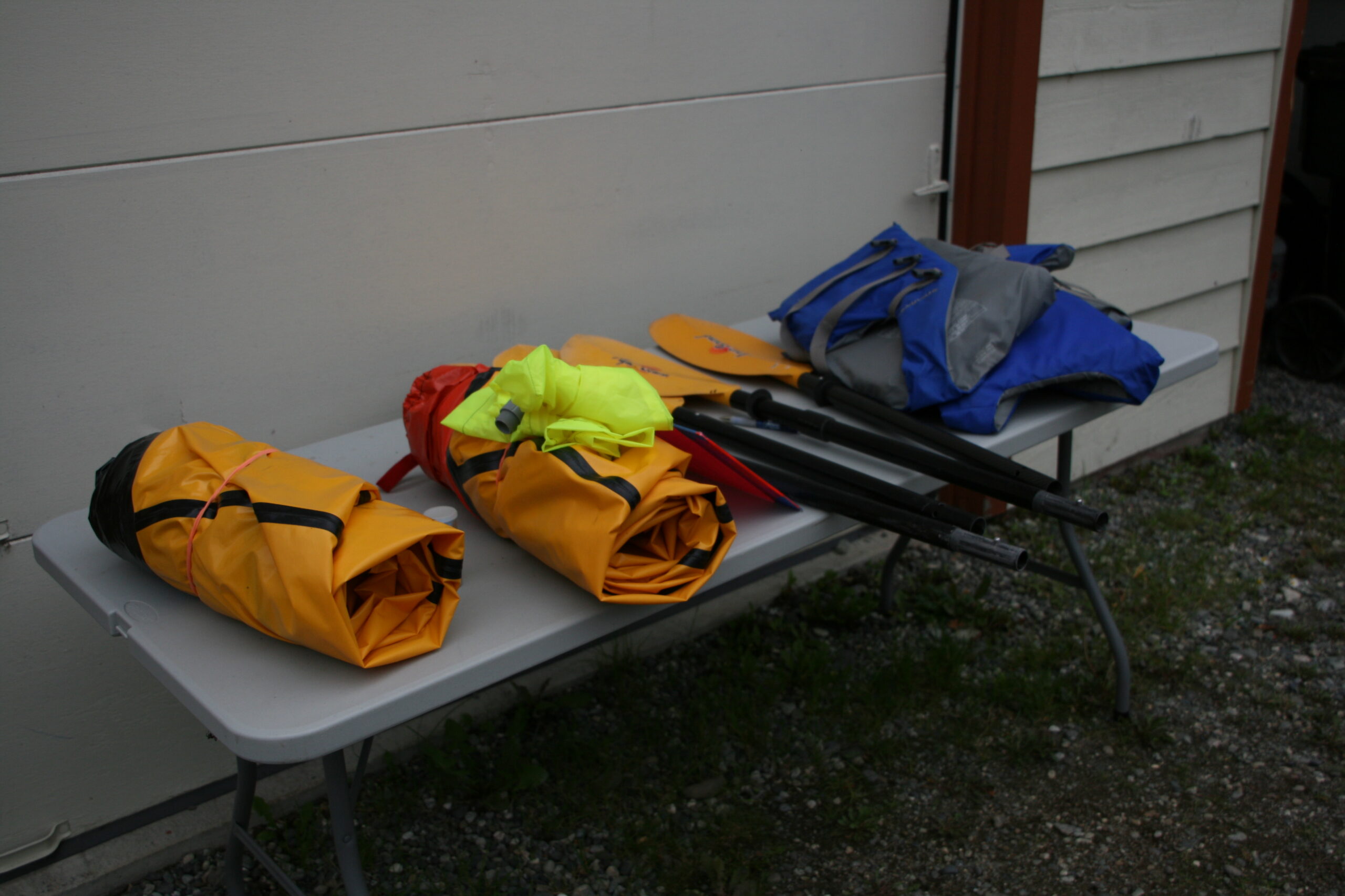
Packrafts, paddles, and life vests sit on a table ready to be packed.
But late one night in an Anchorage hotel — I often forget to go to bed in Alaska due to the near-constant sunlight — I’m reading Alaska adventure blogs, when I come across a discussion forum on a site called Packrafting.org, in which outdoor enthusiasts are gushing about an activity called “packrafting.” I’m embarrassed that I’ve never even heard of packrafts, but I quickly learn that they are small, five-pound inflatable rafts with four-piece, 36-ounce paddles. As I read more, I learn that Alaska is considered the birthplace of long-distance packrafting trips, which makes sense, considering the state’s vast expanses of roadless terrain and seemingly endless networks of crisscrossing rivers. Enthralled, I read tens of forum messages with tips and techniques, suggested gear, and most importantly, trip ideas and reports. I come across a trip suggestion from Roman Dial, considered the grandfather of the sport of packrafting. He describes a classic beginner’s packrafting trip, requiring a 20-mile hike north from Cantwell, Alaska into the Park’s daunting wilderness. The hike takes backpackers from Windy Creek to the headwaters of Denali’s Sanctuary River via Windy Pass, where they can then packraft to Denali’s Park road, catch a shuttle back to the Park’s entrance, and hitchhike the 30 miles back to Cantwell.
It’s a genuine adventure, and I decide that I can’t bear to leave Alaska without trying it. But, I have one problem: I can’t think of anyone in Alaska who would be willing to join me — someone willing to hike for two days through trail-less, grizzly bear-filled wilderness, across Denali’s famously dangerous glacial rivers. Nevertheless, I know that packrafting for the first time in Denali is not something I want to try alone.
The next day, I find myself trying to get my boss, Mitch, interested in the trip. He’s a television producer who has traveled all over the world for his job to places like Cambodia, Cairo, and the Gaza Strip, so I’m hopeful that he’ll be willing and able to do a hiking trip in Denali. I find an easier, alternate route to get to the Sanctuary River headwaters: Sable Pass to Calico Creek, which requires only 15 miles of hiking and no hitchhiking. I explain to Mitch that I know from my previous eight-day trip through the Park that its trail-less terrain across arctic taiga makes for some of the most difficult hiking in the world, but I tell him about the simpler route to the Sanctuary River and remind him that online trip reports I’ve read make the hike sound comparatively easy. He seems a bit reluctant, but soon, he’s signed up for the adventure: our last hurrah after finishing our work before leaving Alaska for the summer. On the Internet, I find a guy named John who rents packrafts for $40 per day, and after I pick them up from his house in Anchorage, we’re ready to go.
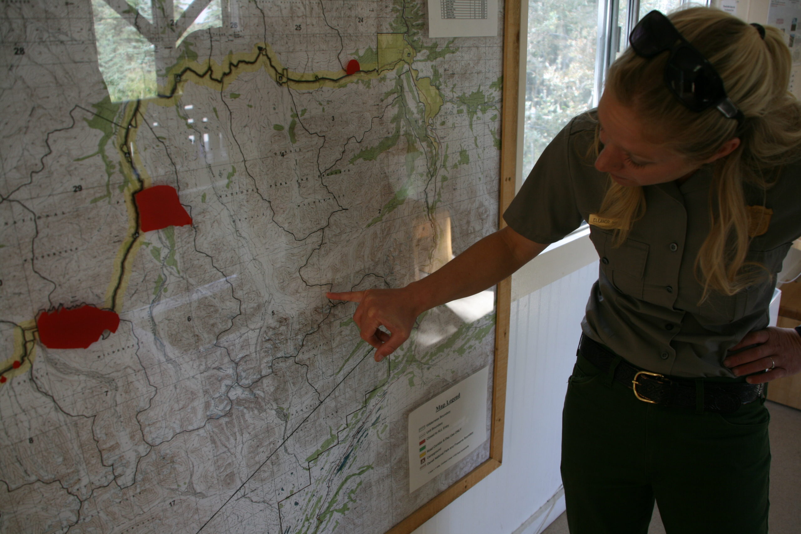
Denali Ranger Eleanor points out Windy Creek on a map.
Forty-two hours before our Sunday night redeye flight back to Los Angeles, Mitch and I wake up on Saturday morning at 6 AM, shove the packrafts into our backpacks, and begin the five hour drive to Denali National Park. We’re delayed for awhile on the George Parks Highway due to roadwork — Alaska locals often complain that the state has only two seasons: winter and construction — but after a quick stop for gas in the tiny town of Trapper Creek about halfway to the Park, we arrive at the Backcountry Information Center near the Park’s entrance.
To my utter amazement, a Park Ranger named Mike Bardwell greets us and offers to help me and Mitch plan our trip.
“You probably don’t remember me, but you helped me and my brother, Brian, plan an eight-day trip across the McKinley River, into McGonagall Pass, and across Muldrow Glacier when I was here three years ago,” I tell Mike. I decide not to mention to him that when we almost died after falling into the McKinley River, Brian and I found ourselves cursing Mike, even as we feared we would never see him again. But, Brian and I escaped the McKinley and Denali alive, and our fears of never seeing him again turned out to be unfounded: here he was, encouraging me to return into Denali’s wilderness.
“That sounds like quite adventure,” Mike says, which sounds to me like the biggest understatement I’ve ever heard. Clearly, he doesn’t read my blog, I think. But, he’s right, it was a life-defining voyage, and I can’t fault him. He warned us of the dangers.
“It certainly was,” I say. “And I’m ready for another. My friend and I are interested in hiking from Sable Pass to packraft the Sanctuary River,” I explain. But Mike tells us that, due to Denali’s wilderness management system which limits the number of people in a given “unit” of the Park at any given time, he can’t issue a permit for us to overnight near the Sanctuary River headwaters. So, though I’m a little worried about the five additional hiking miles and the hitchhiking required, I suggest Roman Dial’s Cantwell to Windy Pass itinerary as an alternative. Mike tells us that overnight camping spots in Windy Pass are available and issues the backcountry permit to us.
Denali’s backcountry safety video is terrifying to say the least.
“But the first four miles of the hike will be on an ATV trail across private land, outside the Park,” he tells us nervously. “Sometimes the land owner gives hikers trouble.” While I’m imagining an incensed Alaskan with a long beard and shotgun chasing us through the Alaska wilderness, another ranger, Eleanor, tells us that we shouldn’t worry. She says that she’s done the hike before, and we can expect mostly easy traveling except for one difficult section of bushwhacking along Windy Creek. Mitch looks at me nervously, clearly unexcited about the prospect of being chased by a man with a shotgun while bushwhacking through the Denali wilderness, but I assure him that I’ve read online about many other packrafters doing the trip without a problem.
But, before we can leave, Mike makes us watch Denali’s safety video. From my previous trip to Denali, I remembered the video being intimidating, but the Park’s newly expanded “director’s cut” is downright terrifying. It’s full of stern warnings and depictions of freezing glacial rivers, angry grizzly bears, charging moose, ruthless mountain lions, navigation nightmares, starvation scenarios, giardia illness, and deadly hypothermia. The video so convincingly warns prospective backpackers that they will have to play dead while being mauled by a grizzly bear during any trip into the backcountry that I’m surprised that anyone manages to summon the courage to enter Denali after leaving the Wilderness Access Center. When we’re finished watching, I look around the room at the other backpackers-to-be. All of them look like they’ve just been told the apocalypse will occur with the hour. Mitch looks at me like I’m a grizzly bear about to eat him for lunch.
“I need to… uh… call my mom,” he says, as though he knows that this will be his last chance to tell her he loves her before being gored by a moose’s antlers. But, to his credit, he doesn’t try to bail out of our trip, and soon, after parking our car at the Cantwell Lodge, we’re walking past a “DEAD END, PRIVATE” sign, across a private land easement, toward Denali’s intimidating wilderness.
Hello, impassable waterfall
Hiking Windy Pass from Cantwell to Denali National Park’s Refuge Valley.
OCTOBER 11, 2010 — While walking north toward Denali, my boss Mitch and I catch a glimpse of the prop bus used in lieu of Chris McCandless’s “Magic Bus” in the film Into the Wild. We pose in front of it for a photo, which seems like a fitting but ominous beginning to our packrafting adventure. (The real “Magic Bus,” sitting in a location that Into the Wild filmmakers considered too remote for production, requires a 52-mile round trip hike on the Stampede Trail just outside Denali to access it. Note that hikers have died as recently as last month trying to get there. Only expert backpackers with lots of Alaska hiking experience should attempt the trip.)
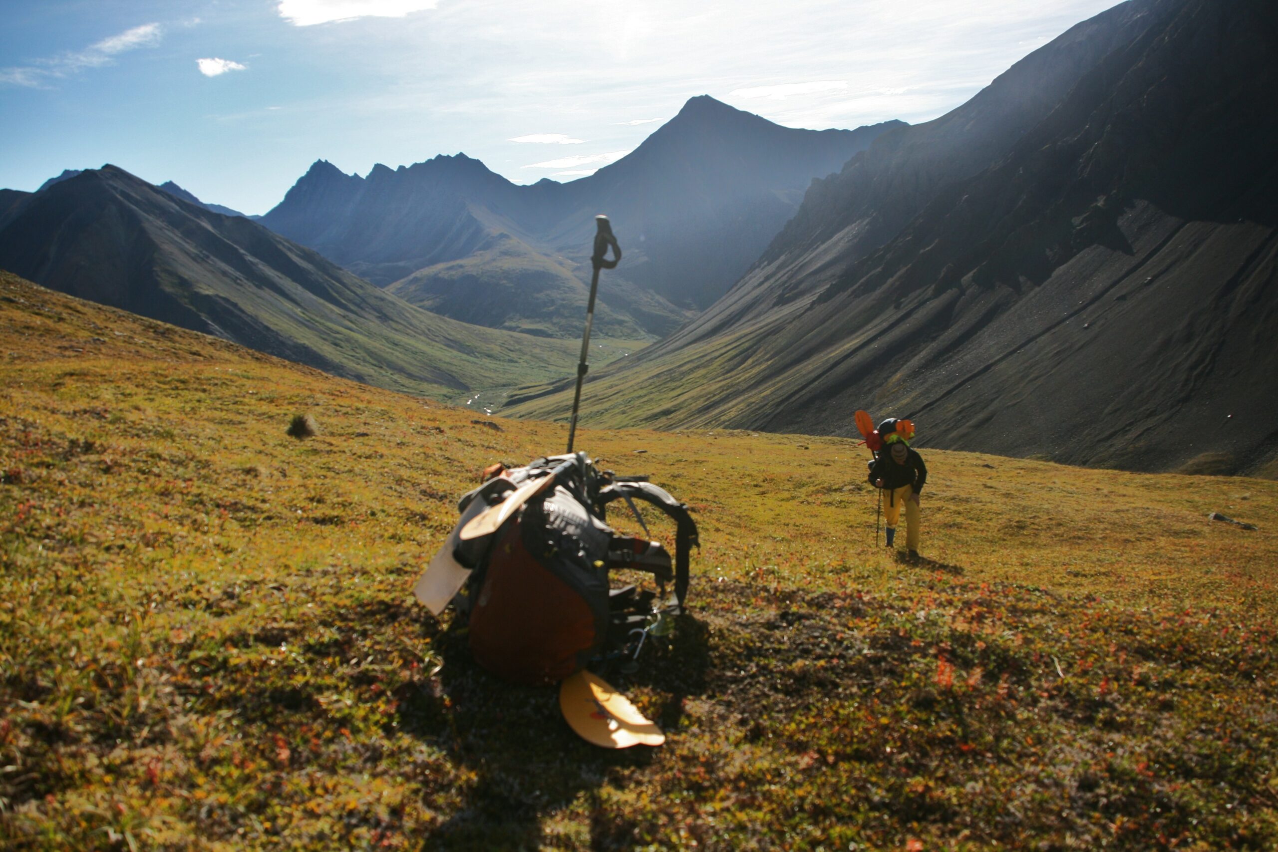
A backpack sits near the top of Windy Pass as a hiker makes his way up a steep incline.
Mitch and I continue toward the easement past a homestead, when we run into the land’s owner. I brace myself for a spray of buckshot.
“Have a good hike!” he says cordially, as he points us in the right direction. I’m relieved as we continue for about four miles down the ATV trail, and I’m amazed by the ease of the trip so far. The sky is blue and clear, the scenery is fantastic, and most surprising of all, the hiking is easy. Mitch looks like he’s having a great time, and we chat about the beautiful weather and the pleasure of taking a couple days for ourselves away from work before returning to the “Lower 48.” At this rate, I realize, we might be able to get to the Sanctuary River’s headwaters in one day. I begin calling into question my memories of Denali as one of the most difficult and daunting places to hike on earth.
But, soon, we reach Windy Creek and the ATV trail into the Park ends. When we cross the creek, I “accept wet feet” and walk through the water in my boots, knowing that it’s nearly impossible to keep your feet dry in Denali. But I’m also respectful when Mitch announces that he wants to change into a pair of waders that he’s been carrying — I know that “accepting wet feet” is a mindset which requires a lot of Denali hiking experience to cultivate. Immediately after we cross, we find ourselves hiking through muddy, sticky marshes with underbrush reaching up to our shoulders. We look around us, knowing that grizzly bears could be hiding anywhere in the bushes. Yes, this is the Denali I remember, I think. We do our best to avoid slogging through sludge and dense thickets by walking along the Creek’s edge, which sometimes works. Usually it doesn’t. Occasionally, we find game trails — narrow trails created by wild animals — that make the going easier for short distances, but we’re averaging less than one mile per hour. When I look back at Mitch, he looks exhausted and unhappy, even though we’ve only hiked about five miles total.
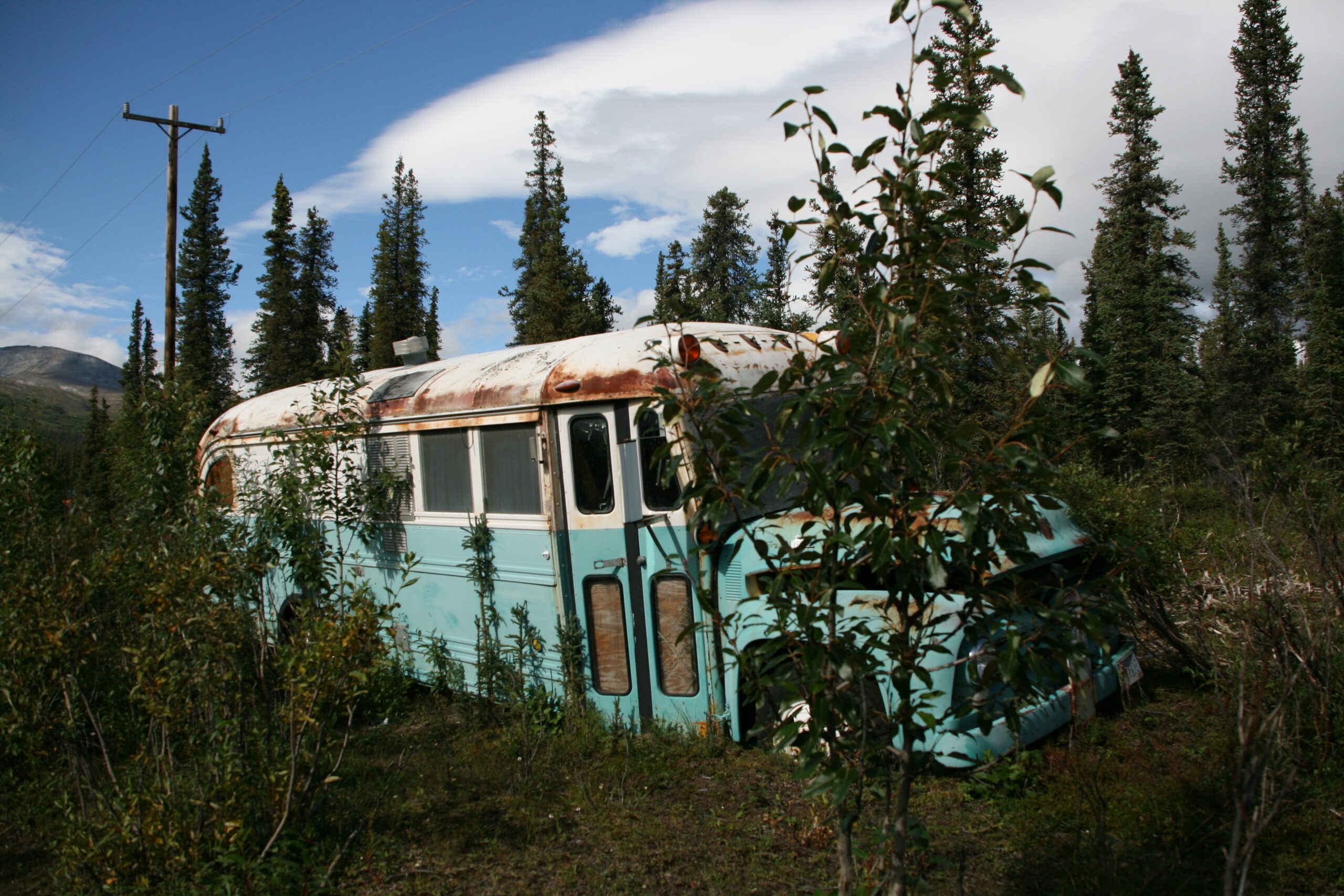
The prop bus used in lieu of the “Magic Bus” in Into the Wild sits near Cantwell, Alaska.
“If it’s going to be like this, I think we should turn back,” he says, exasperated.
“Look, I understand that it’s difficult, but from what I read online, we’ll be bushwhacking for less than two miles until we get to the beginning of Windy Pass. Things will get easier,” I say, partly trying to convince myself. Thinking about my previous Denali hiking experience, I’m skeptical that the terrain actually will become easier, but I hate to give up.
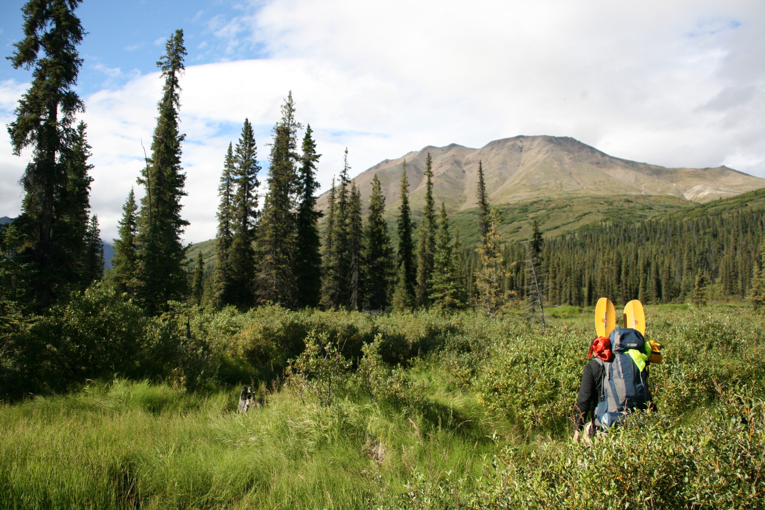
Mitch slogs through underbrush near Windy Creek.
Because it’s sunny and warm, I suggest that we try hiking in the water of Windy Creek for about a mile to avoid the thicket. This is an idea that my brother and I would have considered ludicrous during our October Denali trip, considering the cold and rainy days and freezing glacial water. But right now, in August, Mitch and I don’t think twice. We find the Creek water deep enough that it’s still slow going, but it’s faster than bushwhacking. Soon enough, the underbrush subsides and we step out of the water to hike over dry riverbeds as we head into Windy Pass.
We celebrate our escape from the Windy Creek’s scrub by collapsing in a meadow on the way into the Pass and eating tortillas spread with blackberry jam and maple-almond butter. I’m tired enough after eight miles and a belly filled with jam to camp for the night, but Mitch surprises me by insisting that we continue into the Pass until we reach the 11-mile mark. When we do, we’re both exhausted. After we set up our camp, we eat dinner, almost too tired to talk, and Mitch falls asleep immediately afterward. I hide our food in a bear box under some underbrush and then fall asleep too.
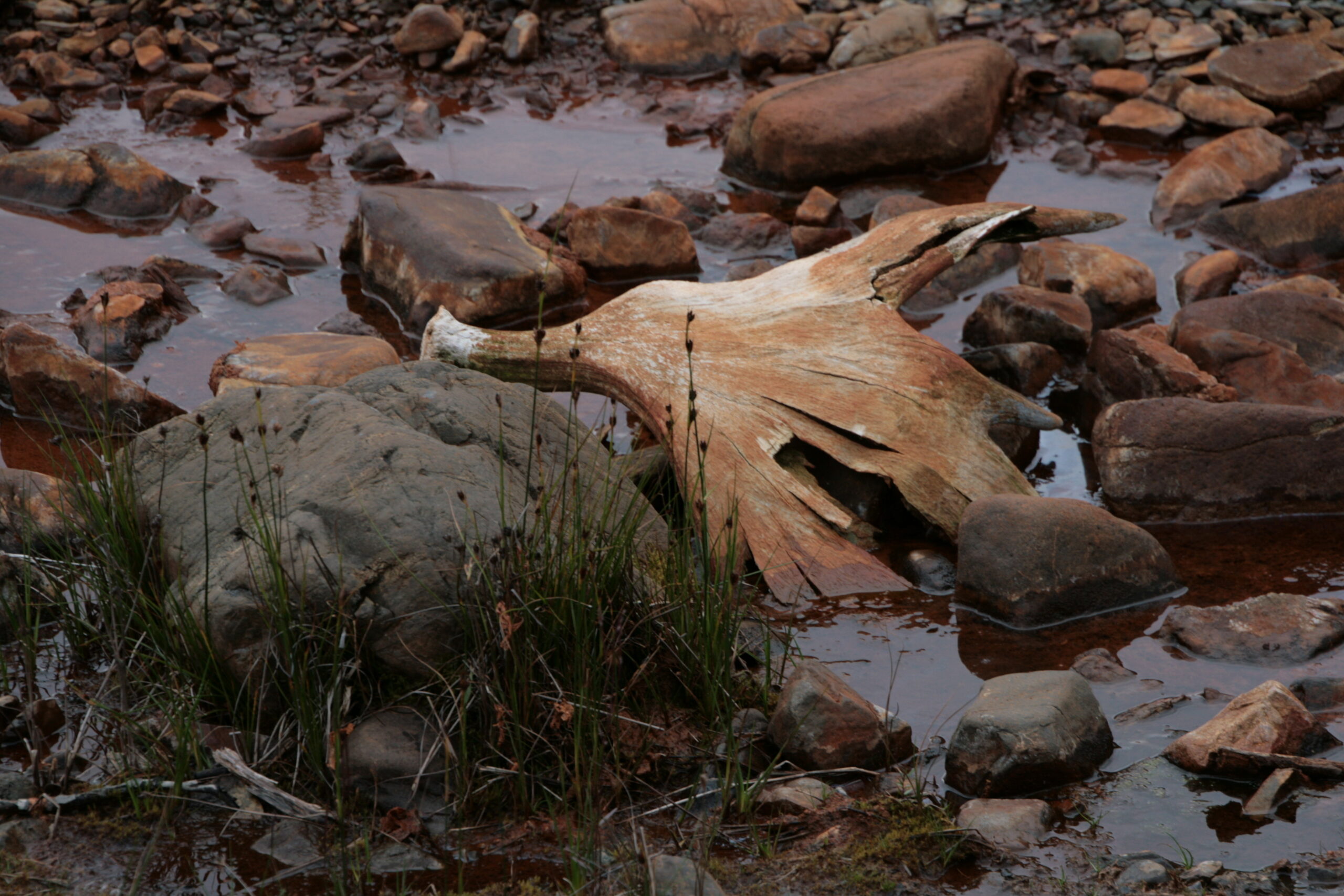
Shed moose antlers sit in muddy water near Windy Creek.
The next day, after breakfast burritos and soothing mint tea, we find ourselves bushwhacking again through a dense meadow on the way up Windy Pass. It’s difficult travel, but as we get farther up the pass, the brush subsides, which we trade for steepness. Near the top of the Pass, I can barely breathe — my pulse is racing and I’m gasping for air due to the intense exertion of hiking up the Pass with a full backpack. I look at my GPS device and see that I’ve just climbed up 550 feet in only a third of a mile. I look down at Mitch far below and see that he’s still at the bottom, wheezing his way up the incline. It takes him over an hour to traverse the third of a mile to my position, and when we meet, he looks like he’s ready to kill me. We’re moving much slower than we anticipated, and only twelve hours remain before our flight from Anchorage back to Los Angeles leaves the gate. I begin to feel guilty and selfish for dragging him on an adventure longer and more difficult than I originally advertised. But we press on, and, happily, the hiking becomes easier as we head down the pass into Refuge Valley. We’re traveling over two miles per hour for the first time since the easy ATV trail at the beginning, and I’m relieved to think we’ll have a comparatively easy hike to the River. But, suddenly, the canyon walls flanking our path narrow, and we see a sheer, 100-foot waterfall, directly in front of us, blocking our path.
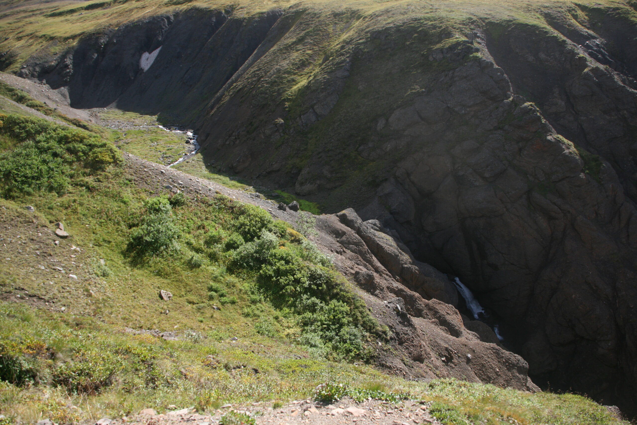
An impassable waterfall blocks hikers following Windy Creek’s banks.
“Is this on the map?!” Mitch asks, giving me an exasperated look. I look at my printed map and GPS device carefully, but, somehow, the waterfall’s height is just short of the elevation required to show a revealing topo line.
“How are we going to get past this?! And even if we do, how do we know we won’t hit another one?” Mitch demands. Desperate to answer his questions, I spend a half hour climbing up a precarious cliff in an attempt to find a way around the waterfall, and I discover a rock chute which looks like it might lead safely to the bottom. But, I can’t see the entire length of the chute, and, for all I know, it drops adventurous passengers into a spike- and snake-filled pit. It doesn’t look safe. Then, Mitch takes another half hour to hike up a steep cliff on the side of the canyon opposite my position. When he reaches the top, he yells that he thinks we can follow a mountain ridge over and past the waterfall, which will eventually lead us back to the bank of Windy Creek. After looking at his suggested route, I agree with him and drag myself to the top of the ridge.
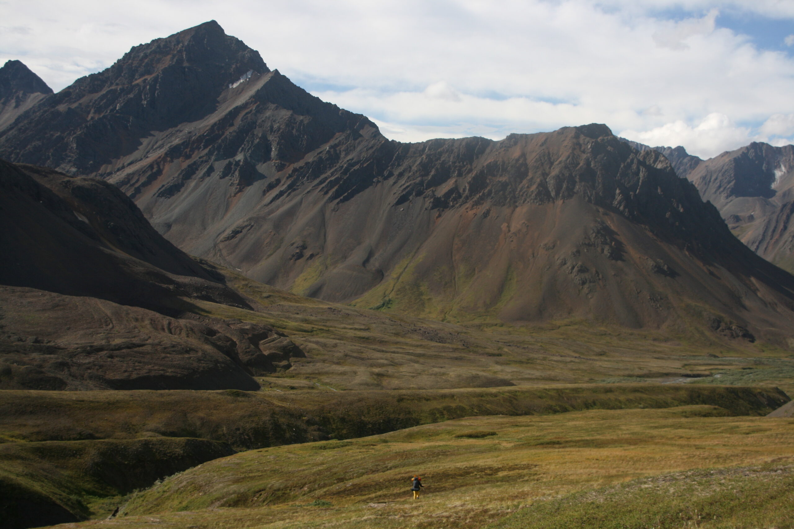
Mitch hikes below mountain peaks into Refuge Valley.
We soldier on, past the waterfall, across five more miles of arctic tundra covered in hummocks — which feels like hiking across fields of basketballs. I originally estimated the hiking distance from Cantwell to the Sanctuary headwaters to be about seventeen miles using trip planning software, but now, my GPS reveals that we’ve hiked almost twenty miles.
“This is ridiculous,” Mitch complains. “Ridiculous!” He’s had enough. But I keep hiking, trying not to look back at Mitch, desperate to get him to the Sanctuary River headwaters. I feel sure that once we’re there, we’ll be able to relax, drop our rafts into the river, and float leisurely back to the Park road.
Finally, three hours later than expected, we spot the rocky bank of the Sanctuary River. We pull our packrafts out of our packs, and I begin inflating mine on the shore. Mitch’s raft stays limp.
“Uh oh,” Mitch yells, frustrated. “My raft won’t inflate!”
We’re in the middle of the Denali wilderness, 20 miles from Cantwell and 16 miles from the Park road. Silently, we both realize simultaneously that if we can’t make it out by packraft, our only other option is to hike for two more days. In six hours, our redeye flight leaves to take us to work the next morning. There’s no way we’ll make it, packrafts or not.
This is it, I think. Even if we make it out of here, my boss is going to fire me.
My never-have-run-out-of-gas record still stands, technically
An Alaskan packrafting trip leads to a driving adventure.
OCTOBER 20, 2010 — “Do you want me to try inflating your raft?” I ask my boss Mitch, knowing that if I fail, he’ll probably throw me into the Sanctuary River just to enjoy the sight of me drowning.
“Yes!” he says, annoyed.
To minimize weight, packrafts do not have electric inflators but instead must be inflated using a thin, nylon bag which connects to the raft’s air intake valve. I grab Mitch’s inflator bag, fill it with air, and collapse it against my legs. Little air seems to flow into Mitch’s raft, which makes me nervous. When I take a look at Mitch’s raft’s air intake valve, I see that his nylon bag’s connector is not correctly threaded into the raft’s valve, so I reattach the bag. This time, when I collapse the inflator bag, air flows into the raft. I’m relieved as the raft inflates, both because I know we won’t have to hike for two more days and also because Mitch won’t try to drown me in the River (probably).
After lashing our backpacks onto the front of our packrafts, I’m giddy with excitement. After all, we’ve hiked twenty miles across Alaskan tundra for this moment! I eagerly slide my raft into the Sanctuary and awkwardly nestle into the craft. Immediately, I’m struck by how thin the bottom of the raft is — I can feel cold water and rocks rushing under me. I’m also surprised by how much my backpack, strapped to the front of my raft, obstructs my view. I realize that we’re going to be rafting for 16 miles through Denali, mostly blind.
We begin paddling down the Sanctuary, and within minutes, I manage to maroon myself on a hard-to-see gravel bar in the middle of the River. I can’t free the raft from the rocks with my paddle, so I’m forced to jump out and walk in the cold water to dislodge the craft. I look downriver and see Mitch trying to free himself from a similar predicament. As soon as I jump back into my raft, the current whisks me speedily down the river, but Mitch is nowhere to be seen; he has paddled far ahead.
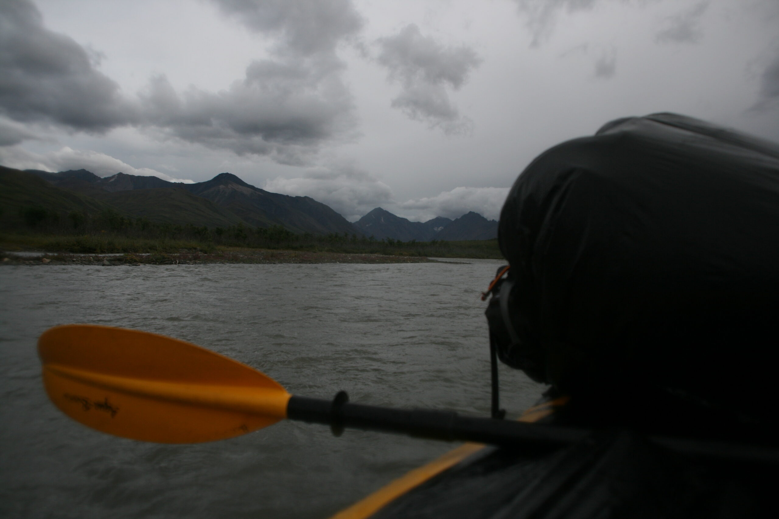
Clouds gather over Denali’s Sanctuary River during a packrafting trip.
As I float downstream, a rock under the water unexpectedly bashes into my tailbone. Who just punched me in the butt?! I wonder. Then, it happens again and then again. Every time another rock hits me, I expect it to tear through the bottom of my raft, but it doesn’t. It just hurts — a lot.
After a few miles of repeatedly becoming ensnared on rock bars, my tailbone aches and the reality of our situation becomes clear: on this day, the Sanctuary River’s water level is too low for rafting. The water levels of Denali rivers are notoriously unpredictable, which is why even the Park Rangers didn’t warn us. Nevertheless, long stretches of the River are easily navigable, and I discover that by leaning far back on the packraft — a normally ill-advised behavior due to the risk of flipping the raft backwards — I can lift my tailbone from the bottom of the boat, making shallow rocks less likely to ram into me. I imagine that I must look ridiculous, lying halfway back on my packraft, but, soon, I realize that I’m having a lot of fun.
About a third of the way downriver on the way to the Park road, I catch up with Mitch, who’s waiting to ask me how many more paddling miles remain.
“We’re about a third of the way to the road,” I tell him. “How’s it going?”
“Ridiculous! This trip is utterly absurd!” he snaps at me and then continues paddling down the river. In his defense, I imagine that his tailbone feels exactly like mine: like someone has been beating it with a baseball bat for two hours. It’s easy to imagine how Mitch might not be having the time of his life, trying to paddle, cold and wet, down a barely navigable shallow river filled with jagged rocks. After he fires me and burns down my apartment after this trip, I think, he’s never going to talk to me again.
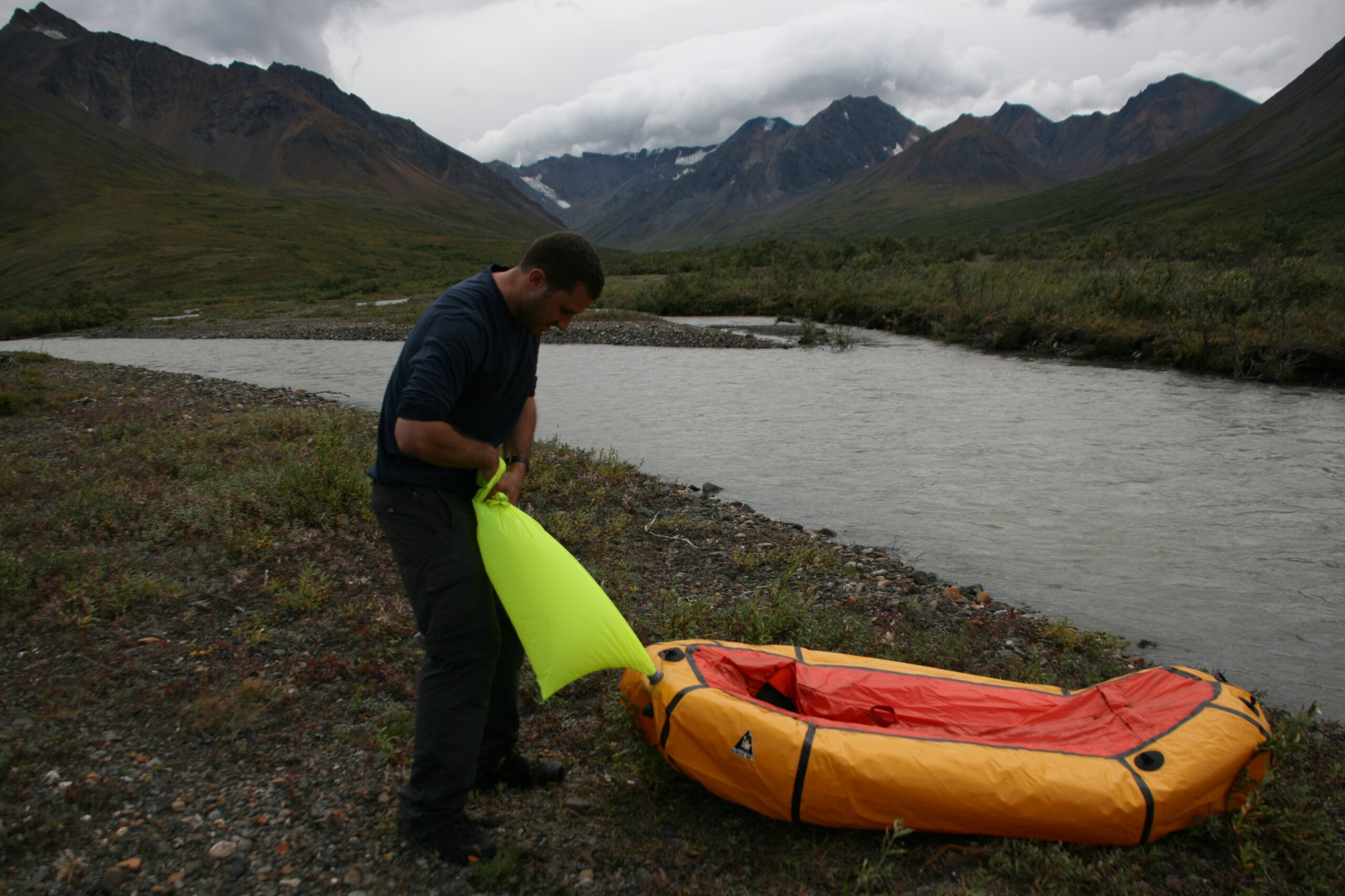
Hank inflates a packraft on the shore of Denali’s Sanctuary River.
But after about four hours of paddling, Mitch and I catch a glimpse of the Park road, lift our rafts out of the water, and carry them to the asphalt. Exhausted, we board the night’s last Park shuttle. To my surprise, Mitch returns almost immediately to good spirits — we’re in a warm, dry place and we’ve finally made it out of the wild. Almost.
By the time we arrive at the Wilderness Access Center at the Park’s entrance, it’s 11 PM and pitch black outside. In an hour, our flight back to Los Angeles will leave without us. Our plan — to take a Denali shuttle to the Park’s entrance and then hitchhike the 30 miles south back to our car in Cantwell — seems impossible now, because we’re sure no one will pick up two hitchhikers on the side of a highway at night. We sheepishly ask our shuttle driver if there’s any chance he’ll take us, but he refuses.
From my previous Denali trip, I remember Panorama Pizza Pub, a bar about 15 miles north of Cantwell with a shuttle service offering to take thirsty hikers to the bar. I dial Panorama Pizza on my cell phone.
“I just dragged my boss 35 miles across Denali wilderness, and now we can’t get to our car in Cantwell,” I explain to the bartender who answers the phone. “He’s going to fire me and then burn down my apartment.”
“Wait, what?” the bartender asks.
“I had a dream,” I begin again. I’m about halfway through telling him our long packrafting story when he stops me, bewildered. “Look, just wait there and I’ll send the shuttle to get you. I can’t leave the bar, but when you get here, ask for Dan. I’ll let you borrow my car so you guys can pick up yours. Hopefully you’ll be able to keep your job.”
I thank him profusely, and soon enough, Mitch and I are standing in Panorama Pizza. Dan, the bartender — still mostly a stranger — hands me the keys to his 1971 powder blue GMC Vandura cargo van.
“If you go over 55 miles per hour, it will start shaking,” Dan tells me.
“So I shouldn’t go over 55?” I ask.
“It’s up to you,” he says.
The van shudders violently as Mitch and I drive toward Cantwell, but we succeed in retrieving our car and returning to Panorama Pizza to return the van. We give Dan an obscenely large tip and promise him that we’ll buy him dinner when he next visits Los Angeles.
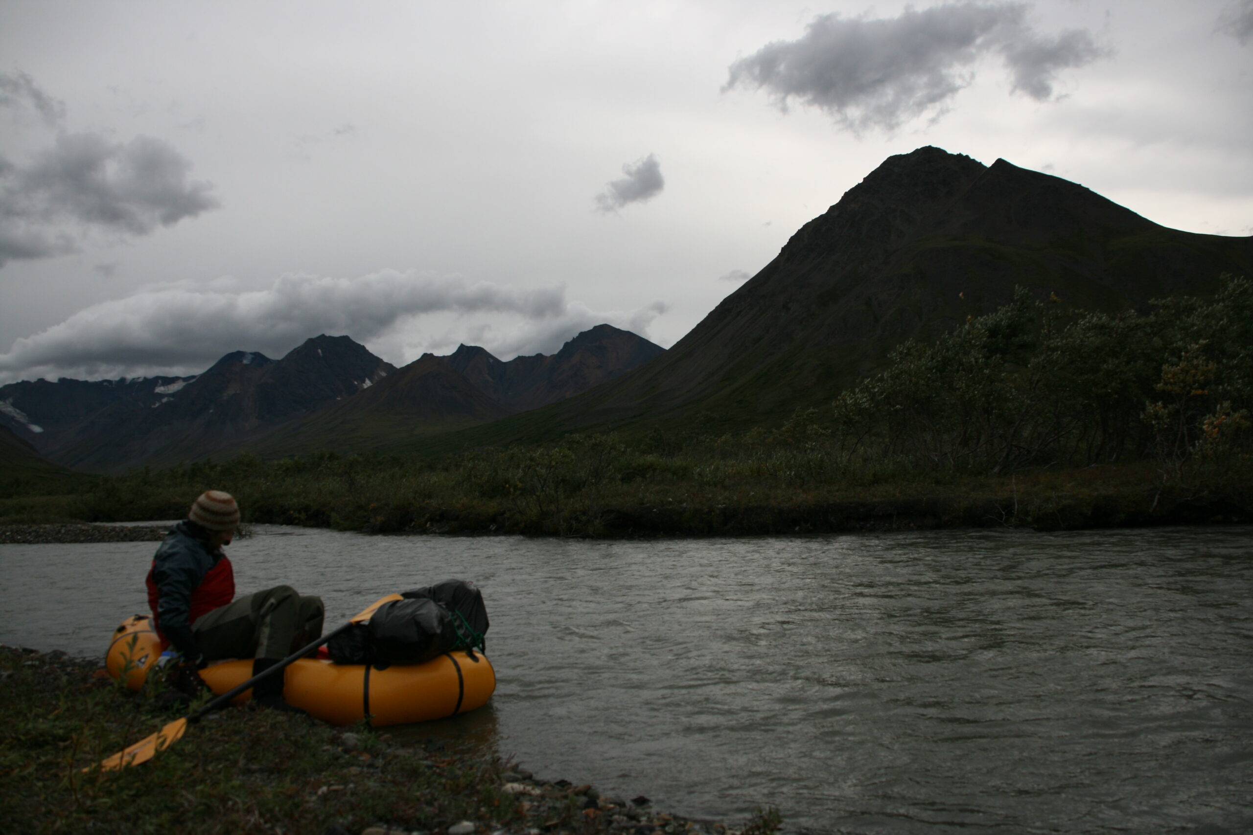
Mitch gets into a packraft on the shore of the Sanctuary River.
Finally, when Mitch and I begin driving toward Anchorage, I feel an enormous sense of relief as I see Cantwell’s Killer Smoke BBQ and Tesoro gas station in my rear view mirror fade into tiny specks. Mitch falls asleep in the passenger’s seat. We’ve finally made it out of the wild. Almost.
After about 30 minutes of driving, I look down at the car’s gas gauge and notice that it has an eighth-tank of gas left. I realize that I’ve driven only about halfway through the desolate, 96-mile stretch of wilderness without phone service or gas stations between Cantwell and the tiny town of Trapper Creek, and there’s no way we’re going to make it to the next gas station. I’m embarrassed and devastated: I’ve always had a misplaced sense of pride about having never run out of gas while driving a car, and I’ve always dismissed have-run-out-of-gassers as irresponsible and foolish. But now, in horror, I realize that I’m about to join their ranks.
I look over at Mitch, sleeping in the passenger’s seat. When I tell him this, my life is over, I think. He’s not going to fire me — he’s just going to murder me. This trip is officially a disaster.
Like a sixteen year old driving student who hasn’t learned how the brake works, I keep driving down the deserted highway, because I don’t know what else to do. I see the orange gas gauge light illuminate, seemingly taunting me with the inevitable destruction of my spotless have-never-run-out-of-gas record. I’m desperate to protect my record and avoid being murdered by Mitch when, suddenly, I spot a gravel driveway leading to a small building with a sign reading, “Byers Creek Lodge.” I turn down the driveway, park in front of the Lodge, and turn off the car with less than a gallon of gas remaining. I’m hoping that the owner will have some gas or at least a telephone.
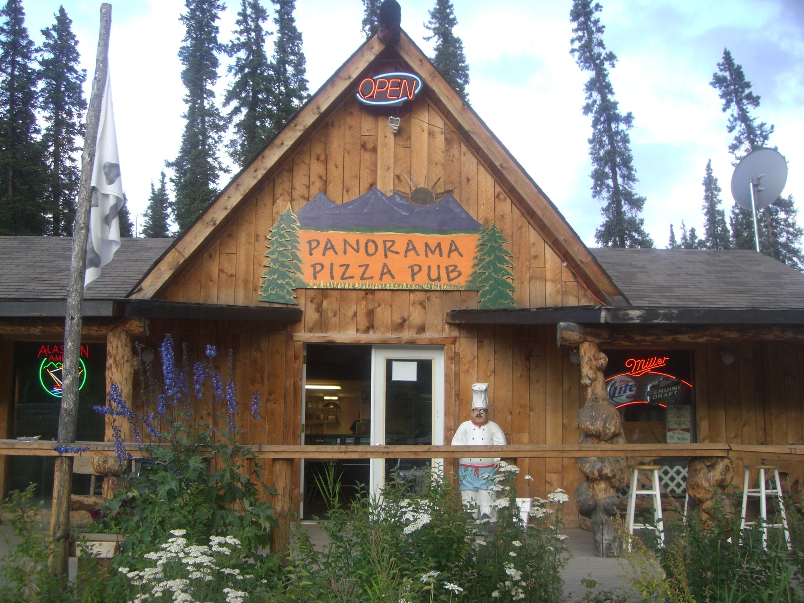
Panorama Pizza Pub
But it’s 2 AM when I knock on the front door of the Lodge, and no one answers.
“Hello?! We need help!” I yell into the darkness. I try to open the door, but it’s locked. I start wandering around the lodge, yelling “Hello?!” but still, no one responds. I yell again at the Lodge’s backdoor, but the Lodge is deserted. Mitch and I are trapped — we’re on the side of an Alaskan highway, forty miles from civilization, with no gas or phone service. Frantic, I take a look under the back door’s doormat, where, to my surprise, I discover a key. I feel like an actor in a bad thriller movie. As I hesitantly open the Lodge door with the key, I imagine flash-forward montage sequences in my bad thriller movie, in which I’m sentenced to 30 years in a Supermax prison for breaking and entering. (In the movie, I call it “B&E” to establish my street cred.)
“Anyone there?! I just want to use your phone! I’m sorry I’m breaking and entering! I’m not a robber!” I feel like an idiot for apologizing to no one — and using the archaic-sounding word “robber” — in the middle of the Alaskan wilderness. Luckily, I find a telephone and make a call to a friendly AAA operator, who, despite our confusing and suspicious conversation, promises to send someone with a gas can to find us within an hour. (“No, I really have no idea where I am or where this Lodge is located or what the phone number is here because no one is working here. How did I get in? Uh, it’s complicated.”) Relieved, I return to the car.
“Where are we?” Mitch asks, bewildered after waking from his nap.
“Byers Creek Lodge,” I offer as a non-explanation. “AAA is on their way with a gas can.”
Then, something amazing happens. Mitch doesn’t murder me.
He starts laughing. I start laughing too. We can’t stop.
Four hours later, at 6 AM — five hours after our flight leaves for Los Angeles without us — an AAA tow truck, carrying a can of gas, finally finds us.
The following week, Mitch and I walk into our office in Los Angeles and attempt to sit. We simultaneously yelp in pain, due to our bruised tailbones. We laugh. I show Mitch an enticing blog post detailing the thrill of the 52-mile Denali hiking trip to Chris McCandless’s real “Magic Bus.”
“Let’s do it,” he says.
I look at him skeptically, but I realize that he’s serious. He’s a pretty good sport.
How to Packraft Denali’s Sanctuary River
OVERVIEW: The headwaters of the Sanctuary River are located in Denali National Park and Preserve, about 16 miles south of mile 22.5 of Denali’s Park Road. Rafting the Sanctuary River is a good packrafting trip for beginning packrafters, but hiking across the trail-less, rugged terrain of Denali National Park is difficult and daunting. Only backpackers experienced with trail-less navigation, bushwhacking, and hiking in grizzly bear, moose, and mountain lion country should attempt this trip.
LOGISTICS: The entrance to Denali National Park and Preserve can be reached by driving five hours north from Anchorage by following the AK-1 (New Seward Highway) to Wasilla and then continuing north on AK-3 (George Parks Highway) to the Park entrance. Anyone camping overnight in Denali is required to stop at the Park’s Wilderness Access Center, located just inside the Park entrance, to create a trip plan, watch the Denali wildlife and river safety video, and get a Backcountry Permit. Denali’s quota system allows only a limited number of backpackers to camp in a given unit (area of the park) on a given night.
CANTWELL TO SANCTUARY HEADWATERS ROUTE: To reach the Sanctuary headwaters, drive 30 miles south from the Denali Park entrance to Cantwell, Alaska, turn right on AK-8 (Denali Highway), and after about 1.7 miles, turn right into the Cantwell Lodge parking lot. (You may want to make sure that the Lodge manager is aware of your car in his parking lot, and leave a note on your car’s dashboard with emergency contact information and the date of your expected return.) Begin hiking north across the nearby railroad tracks toward the power lines, up the road (yes, the one with the “Blue Home B&B” and “DEAD END, PRIVATE” signs). Upon reaching the end of the road, if you hike directly east along the power lines, you will be able to visit the prop bus used as a stand-in for Chris McCandless’s “Magic Bus” in the movie Into the Wild. After visiting the bus and returning to the road, continue walking north, on a muddy ATV trail leading into Denali National Park, on an easement leading through private property. The National Park has clearly marked the easement with bright orange, tall easement markers. On our hike, we met the private property owner, who was cordial and helpfully directed us in the right direction. The ATV trail allows for very easy hiking into the park for about four miles until reaching Windy Creek. Bushwhack for about three miles west along Windy Creek (this can be challenging, and you may want to walk in the Creek if it’s warm enough) and then continue following the Creek northwest up and over Windy Pass. If you plan on spending the night, keep in mind that there are many beautiful and flat places to camp high in the Pass, so hold out until you find a great spot. As you descend into Refuge Valley from Windy Pass, stay alert for an impassable waterfall about halfway down the Pass. Do not attempt to walk over this cliff — it is nearly 100 feet high. Instead, walk up the hill north of the cliff, then walk west and follow the Creek from the cliffs above. After you’ve passed the waterfall, there are many outcrops low enough to allow you to return to Windy Creek. You can then follow the Creek to the headwaters of the Sanctuary.
SABLE PASS TO SANCTUARY HEADWATERS ROUTE: To reach the Sanctuary headwaters, board the Denali Park Shuttle at the Wilderness Access Center and tell the driver you want to disembark at Sable Pass. Then, hike down the Teklanika River, up the Calico Creek drainage, over the pass, and then down into Refuge Valley where the Sanctuary River headwaters are located. The pass is very steep and may require you to crawl for a short distance. Take extra care when climbing down across loose scree.
PACKRAFTING TO THE PARK ROAD: The rafting distance from the Sanctuary headwaters to the Park road is 16.4 miles. Keep watch for the road after you have rafted about 16 miles (which will take between three and four hours). Once at the road, Park shuttles will pass approximately every half hour until 10 PM, depending on time of day and time of year. (Confirm the current schedule before you leave.) After the shuttle returns you to the Park entrance, you can walk to your car or hitchhike back to Cantwell if you started there.
PACKRAFTING TIPS: Packrafts tend to be stable, forgiving crafts that flow over waves easily and are resilient when bouncing off sharp rocks. Packrafts are most likely to tip backwards, so make sure to learn forward in rough water. Hypothermia is a risk; it’s easy to get very cold while rafting in Alaska because glacier water is near freezing, you expend less energy than you do while hiking, and the boats have flimsy spray skirts. Packrafts position you almost directly on the water’s surface, so you will get wet. Wear warm, synthetic clothing, and put on more layers than you would for hiking. Be sure to bring a patch kit (duct tape, Aquaseal) in case a valve leaks or you manage to punch a hole in the raft — otherwise, you could end up with an unexpected, long hike home.
ROUTE: View the route below or download the Without Baggage Packrafting Sanctuary River GPS track in GPX or KML format.
We’ve gone to countless dinners where you’ve discussed your love for outdoor adventure and you’ve never once mentioned this dream! I don’t know whether to be offended or grateful. I’m going to go with grateful. 😉
I like the part where you find the key and break in! Did you leave a note? Or just return the key quietly?
I left and returned the key right after making my emergency call. I didn’t mention this in the story, but, in the morning before we left, we talked to the owner and explained our situation when he arrived.
What’s funny about this entire blog is we’re thinking about doing the same hike next year in AK. 🙂
What’s funny about this entire blog is we’re thinking about doing the same hike next year in AK. 🙂
Hank, I was surfing Google for any new info on back packing the Kesugi Ridge and I fell upon your blog, as I included packrafting in the search. Loved the adventure though it is a few years past now. I am curious if you stayed in So Cal or moved on to follow your true passing for the wilderness as it infests my being as well. I’ve back packed most if not all the trails in the interior of Alaska and am moving on to the realm of the packrafting world and I am thrilled beyind compare. I would really enjoy hearing what the last four years has let you to be.
Chris Butcher